Kansas
The Flint Hills, Mount Sunflower, Monument Rocks country and Kansas state parks, drawn as topographic contour maps.
25 places
Mountains & High Points
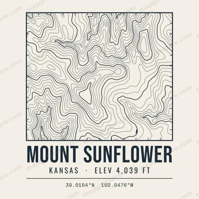 Mount SunflowerKansas · 4,039 ftGifts from $3.47
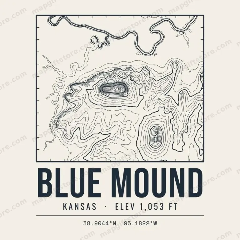 Blue MoundKansas · 1,053 ftGifts from $3.47
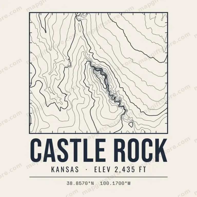 Castle RockKansas · 2,435 ftGifts from $3.47
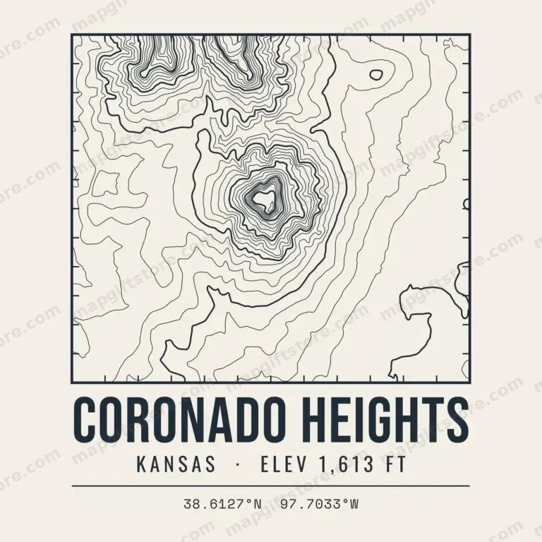 Coronado HeightsKansas · 1,613 ftGifts from $3.47
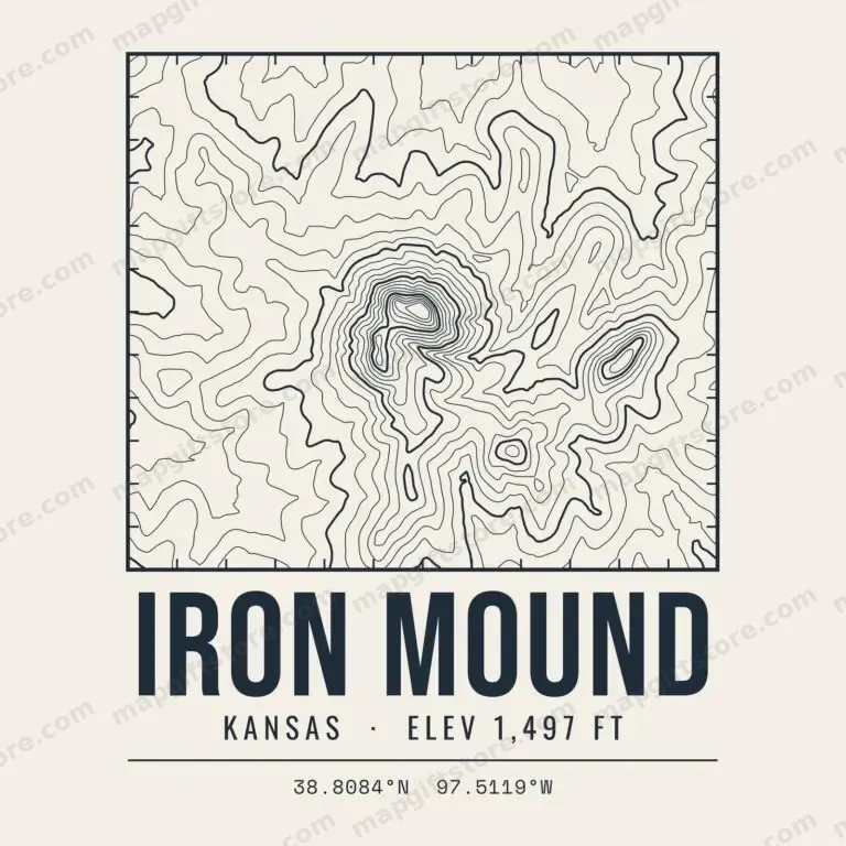 Iron MoundKansas · 1,497 ftGifts from $3.47
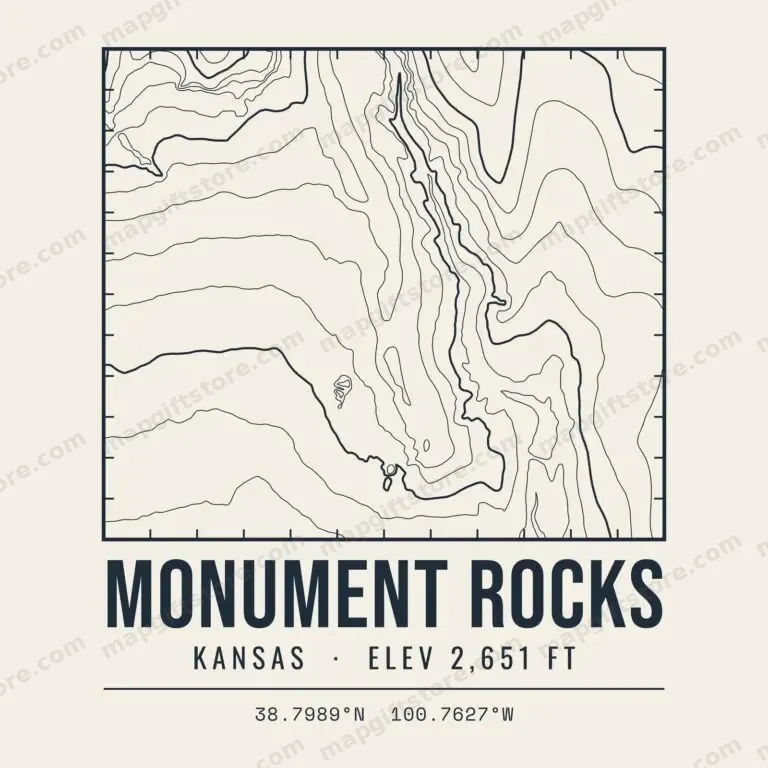 Monument RocksKansas · 2,651 ftGifts from $3.47
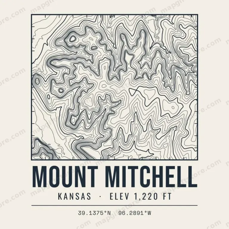 Mount MitchellKansas · 1,220 ftGifts from $3.47
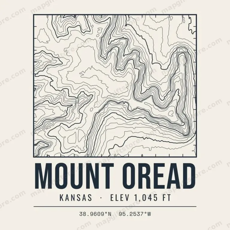 Mount OreadKansas · 1,045 ftGifts from $3.47
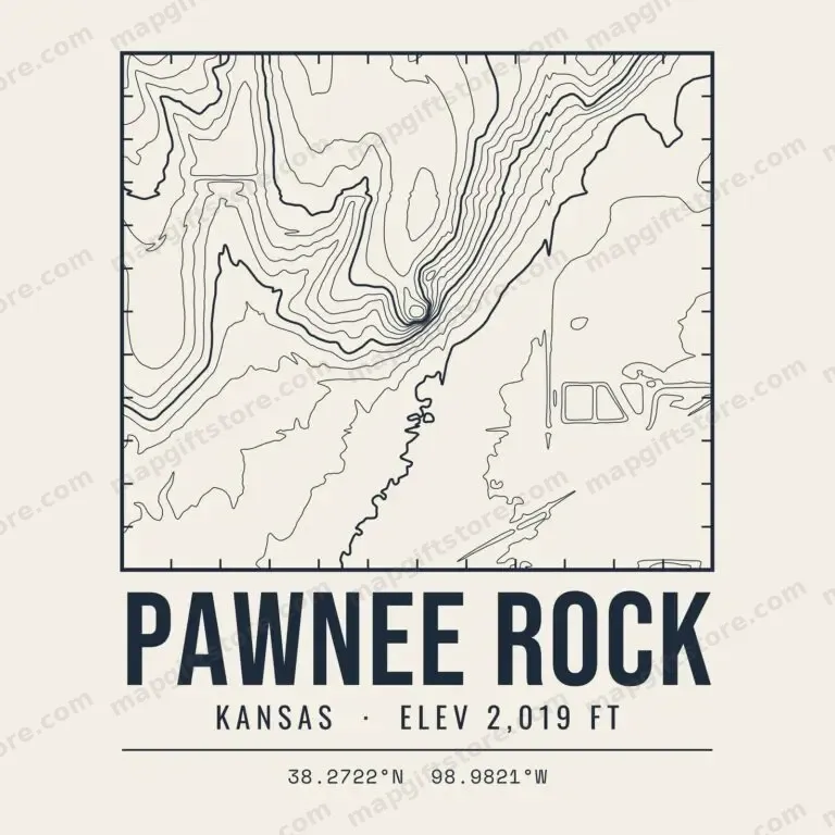 Pawnee RockKansas · 2,019 ftGifts from $3.47
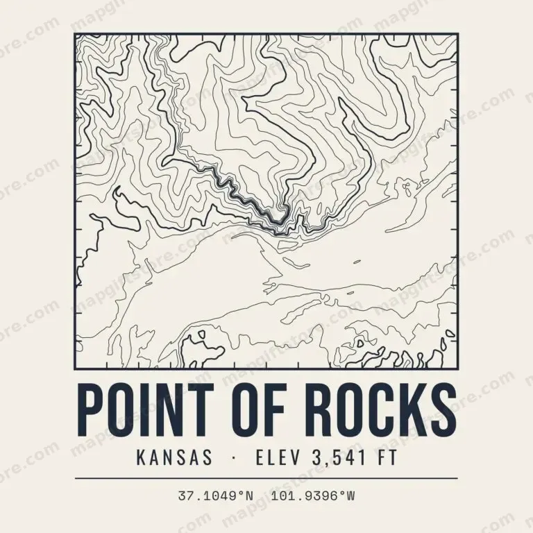 Point of RocksKansas · 3,541 ftGifts from $3.47
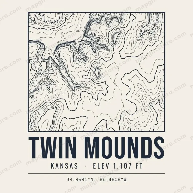 Twin MoundsKansas · 1,107 ftGifts from $3.47
State & National Parks
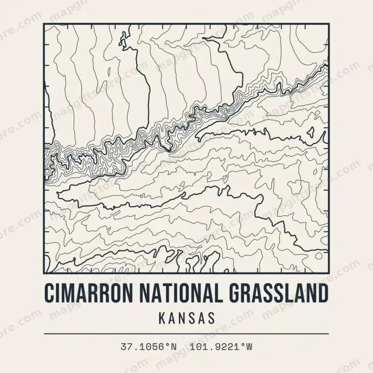 Cimarron National GrasslandKansasGifts from $3.47
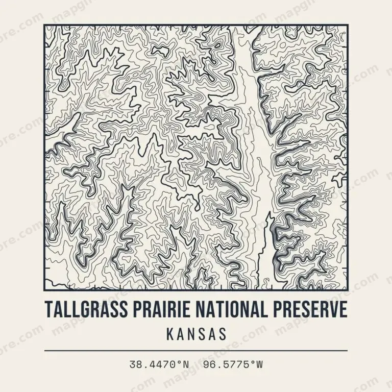 Tallgrass Prairie National PreserveKansasGifts from $3.47
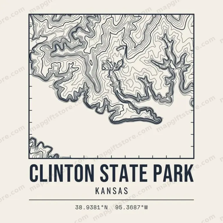 Clinton State ParkKansasGifts from $3.47
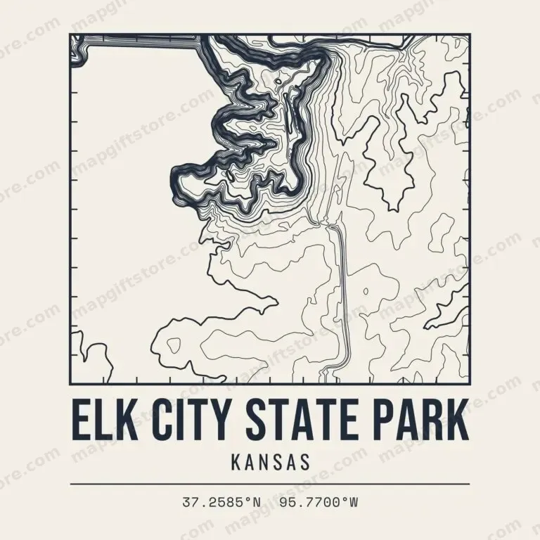 Elk City State ParkKansasGifts from $3.47
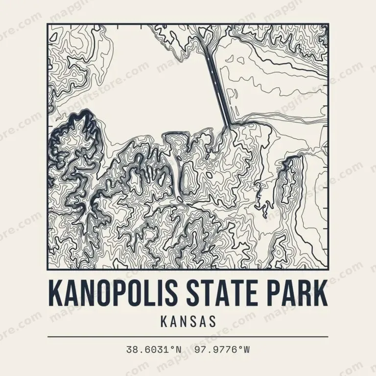 Kanopolis State ParkKansasGifts from $3.47
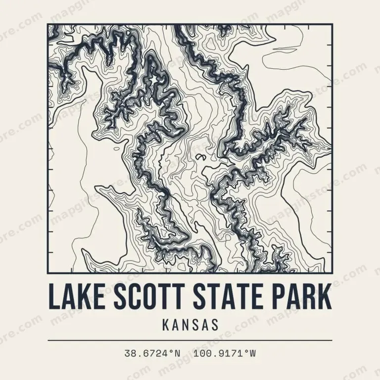 Lake Scott State ParkKansasGifts from $3.47
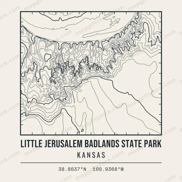 Little Jerusalem Badlands State ParkKansasGifts from $3.47
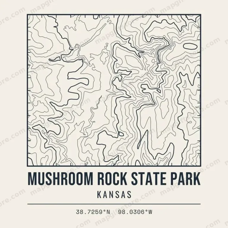 Mushroom Rock State ParkKansasGifts from $3.47
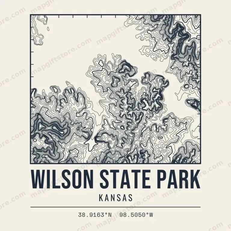 Wilson State ParkKansasGifts from $3.47
Hiking Areas & Trails
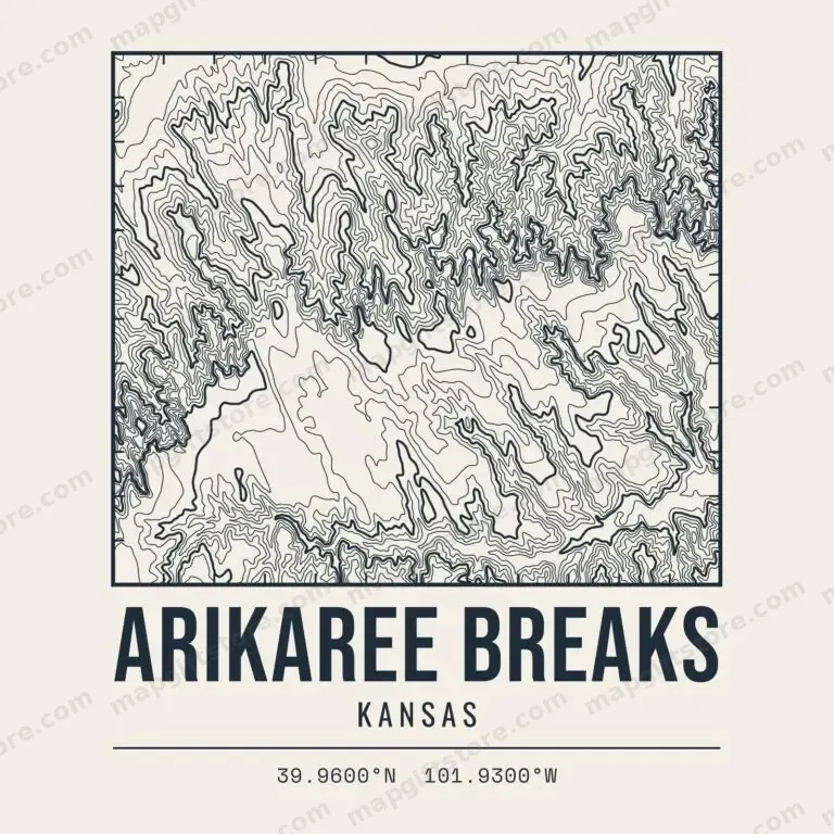 Arikaree BreaksKansasGifts from $3.47
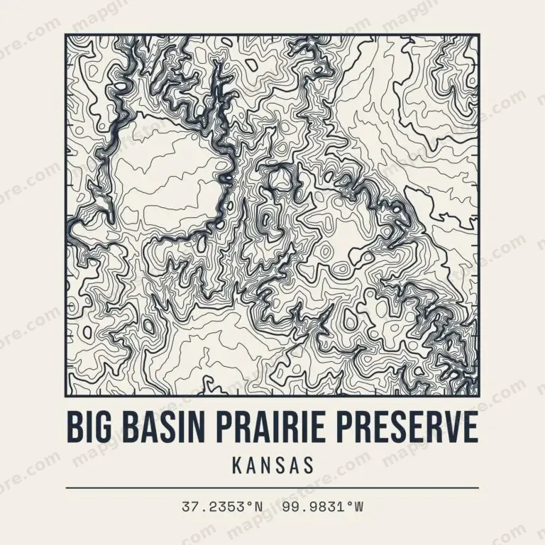 Big Basin Prairie PreserveKansasGifts from $3.47
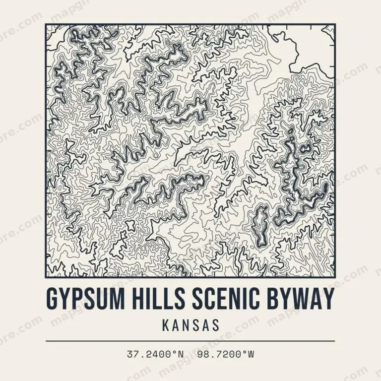 Gypsum Hills Scenic BywayKansasGifts from $3.47
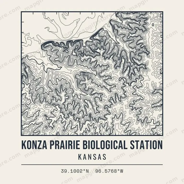 Konza Prairie Biological StationKansasGifts from $3.47
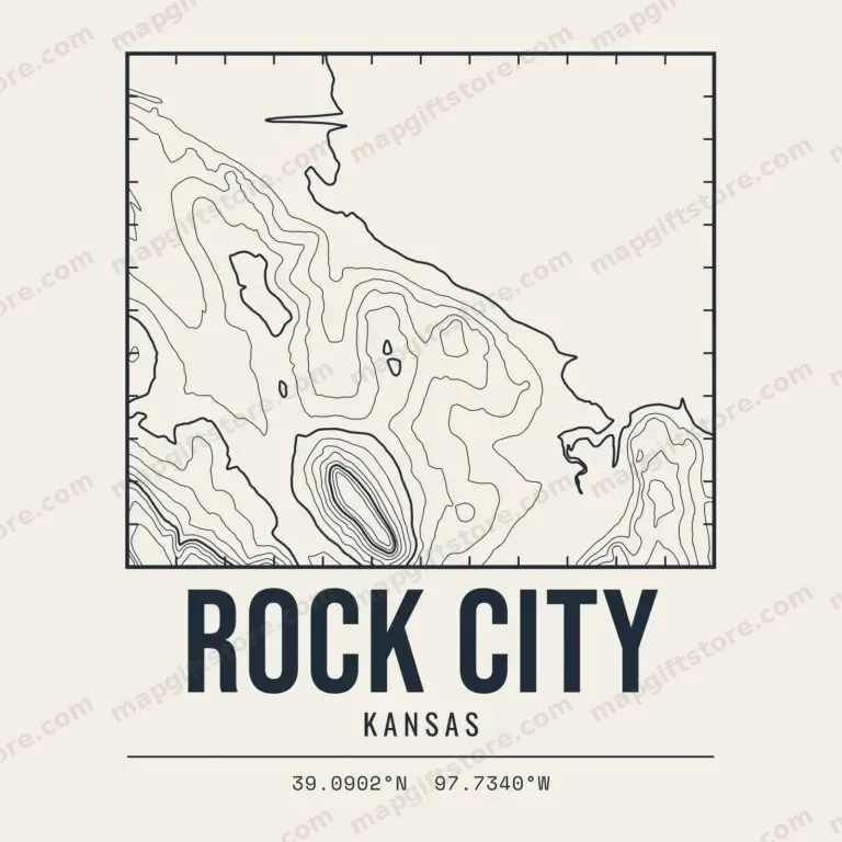 Rock CityKansasGifts from $3.47
Also sold on Topo Map Designs on Printify.
Questions
What places in Kansas have topo map gifts?
Ski hills, named peaks and high points, state and national parks and hiking areas across Kansas. Each one has its own contour map design on shirts, mugs, prints and more.
Where does the elevation data come from?
Every map is drawn from the U.S. Geological Survey 3D Elevation Program (3DEP), a public-domain national elevation dataset.
Who prints and ships the gifts?
Gifts are printed to order and shipped by CafePress. Final price, sales and shipping are shown at checkout.
Shop our CafePress collections: Kansas topo maps and Kansas town and lake elevation gifts.