Mountains & High Points
Named peaks, buttes, bluffs and every state high point in the region, centered on the summit and drawn from USGS elevation data.
416 places
Illinois
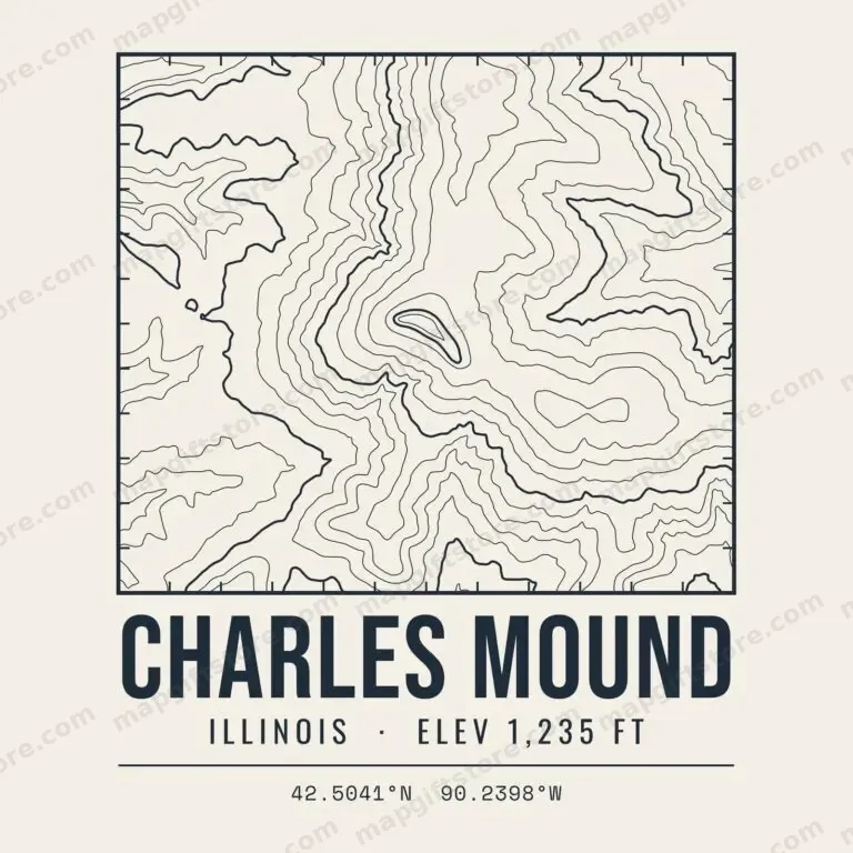 Charles MoundIllinois · 1,235 ftGifts from $3.47
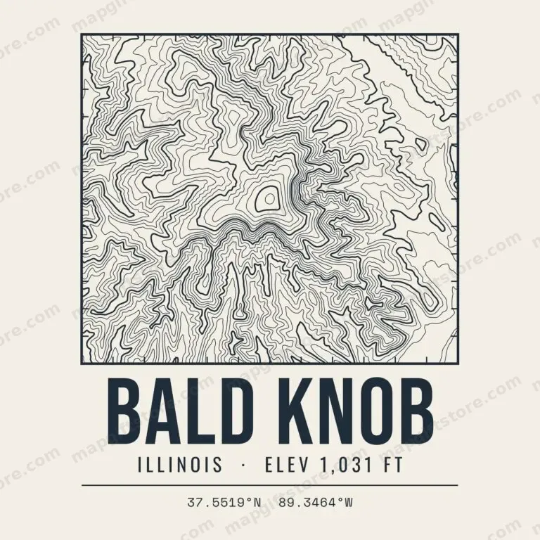 Bald KnobIllinois · 1,031 ftGifts from $3.47
 Camel RockIllinois · 836 ftGifts from $3.47
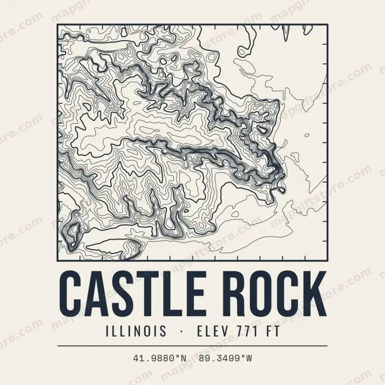 Castle RockIllinois · 771 ftGifts from $3.47
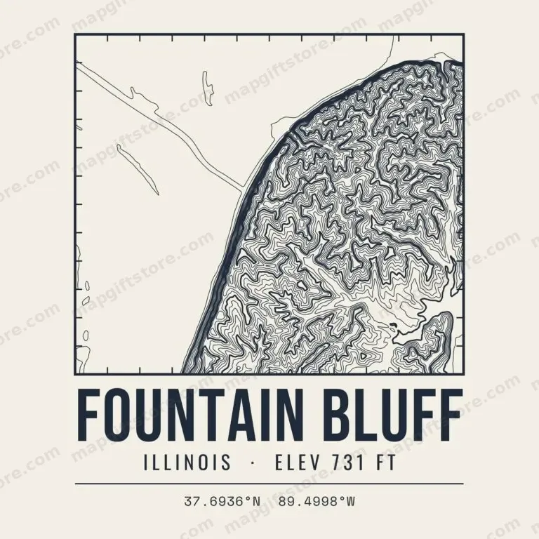 Fountain BluffIllinois · 731 ftGifts from $3.47
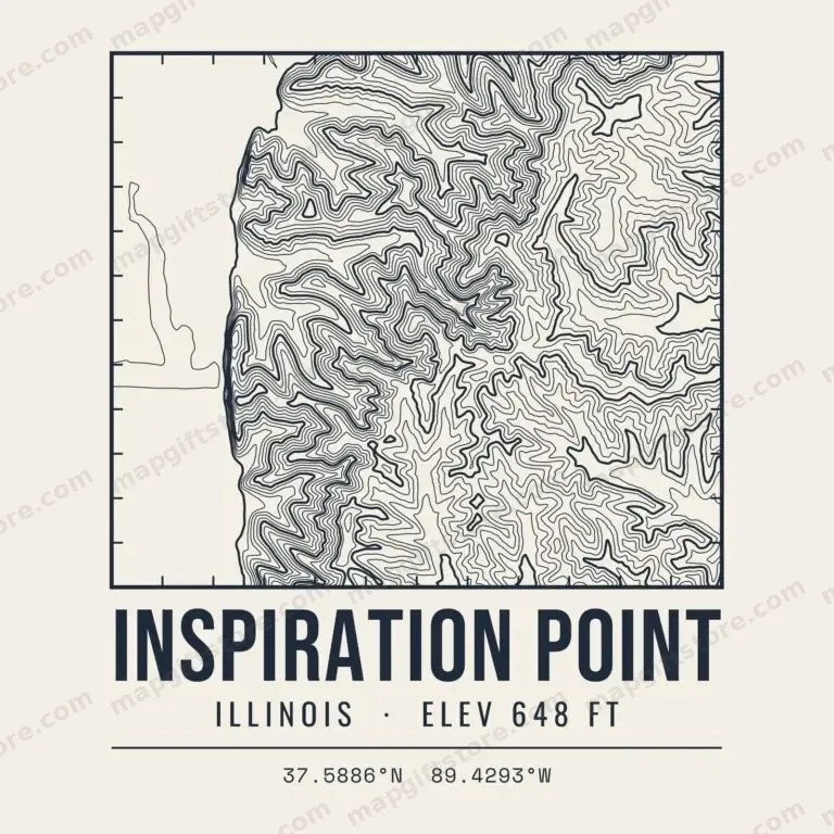 Inspiration PointIllinois · 648 ftGifts from $3.47
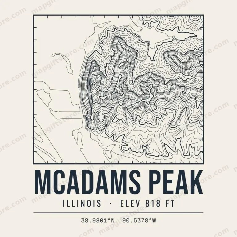 McAdams PeakIllinois · 818 ftGifts from $3.47
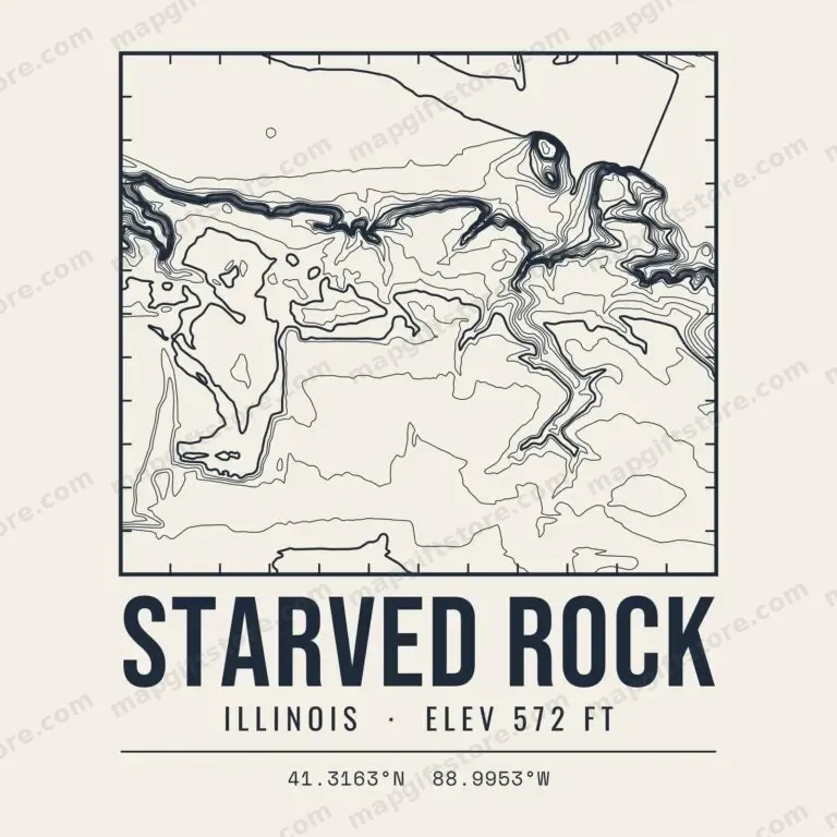 Starved RockIllinois · 572 ftGifts from $3.47
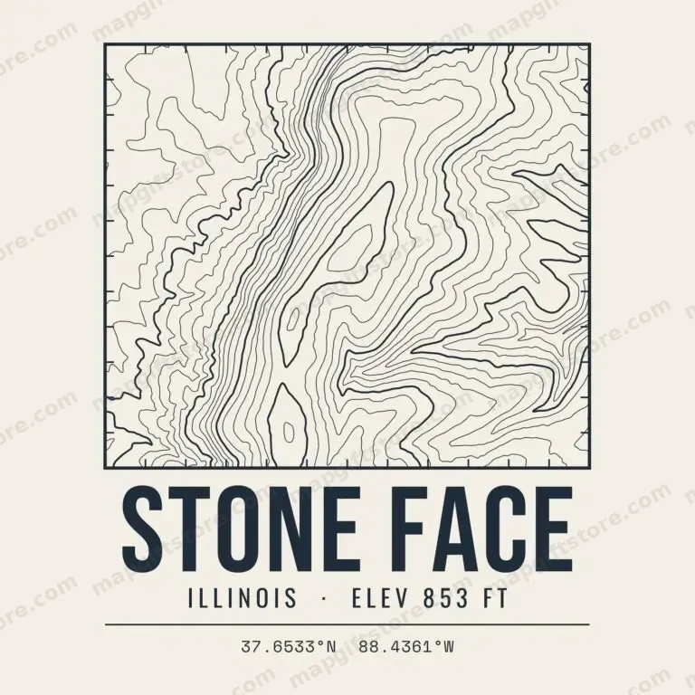 Stone FaceIllinois · 853 ftGifts from $3.47
 Williams HillIllinois · 1,064 ftGifts from $3.47
Indiana
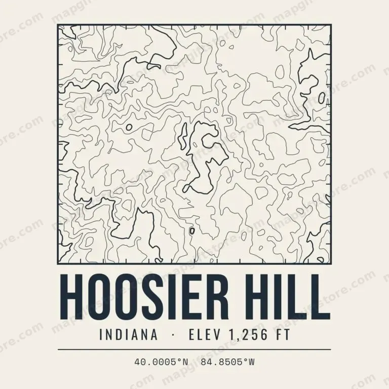 Hoosier HillIndiana · 1,256 ftGifts from $3.47
 Hanging RockIndiana · 705 ftGifts from $3.47
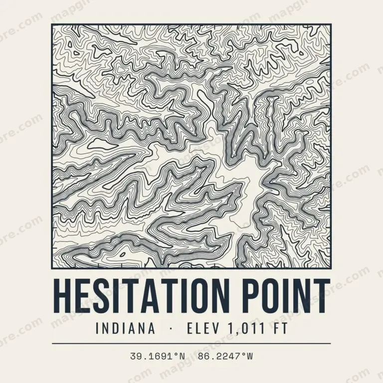 Hesitation PointIndiana · 1,011 ftGifts from $3.47
 Mount BaldyIndiana · 724 ftGifts from $3.47
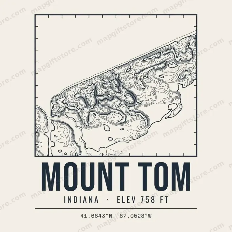 Mount TomIndiana · 758 ftGifts from $3.47
 Pilot KnobIndiana · 942 ftGifts from $3.47
 Weed Patch HillIndiana · 1,059 ftGifts from $3.47
Iowa
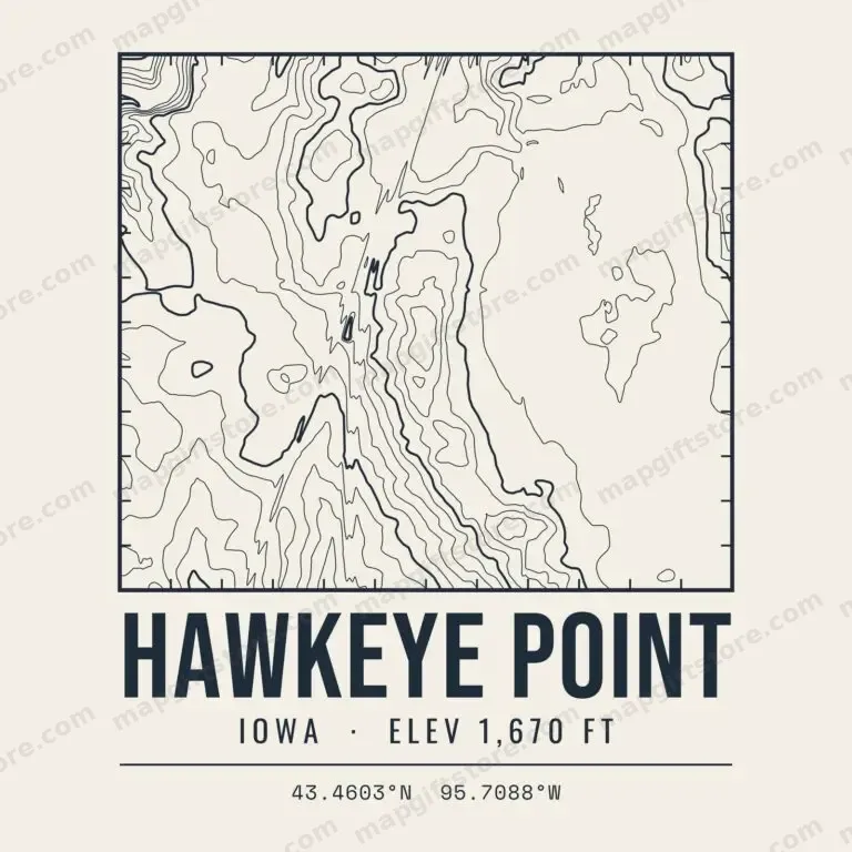 Hawkeye PointIowa · 1,670 ftGifts from $3.47
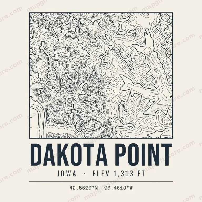 Dakota PointIowa · 1,313 ftGifts from $3.47
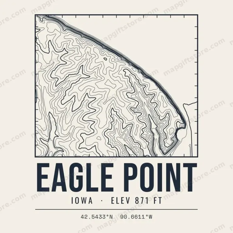 Eagle PointIowa · 871 ftGifts from $3.47
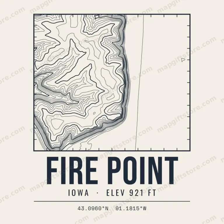 Fire PointIowa · 921 ftGifts from $3.47
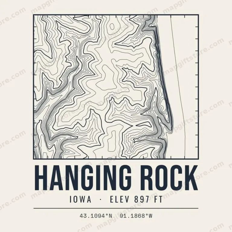 Hanging RockIowa · 897 ftGifts from $3.47
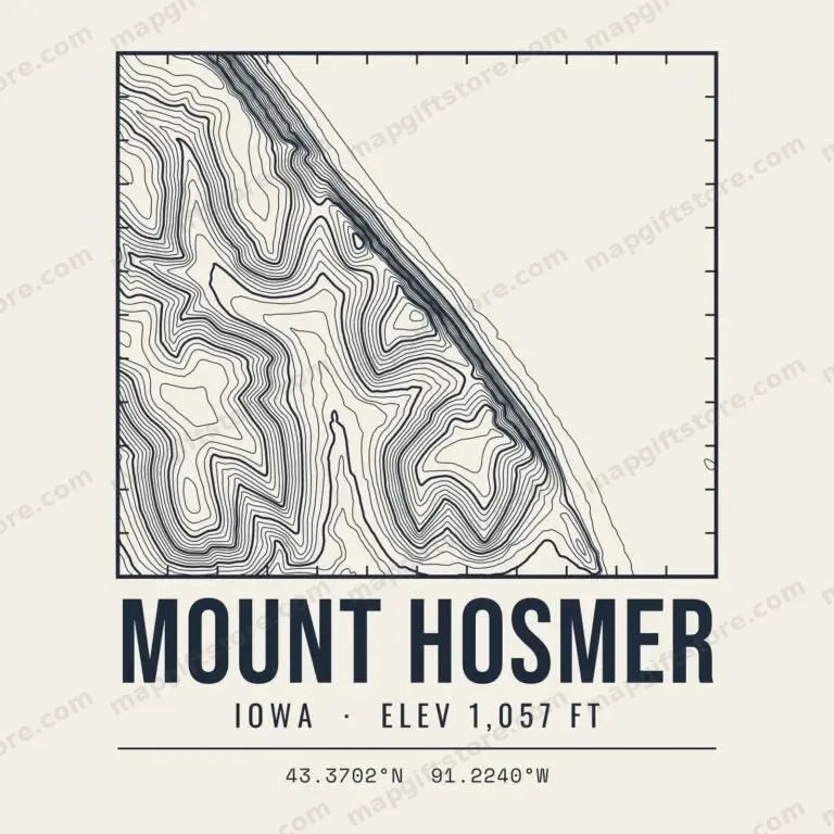 Mount HosmerIowa · 1,057 ftGifts from $3.47
 Mount PisgahIowa · 1,180 ftGifts from $3.47
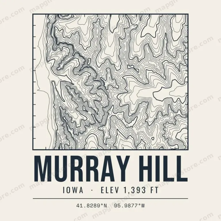 Murray HillIowa · 1,393 ftGifts from $3.47
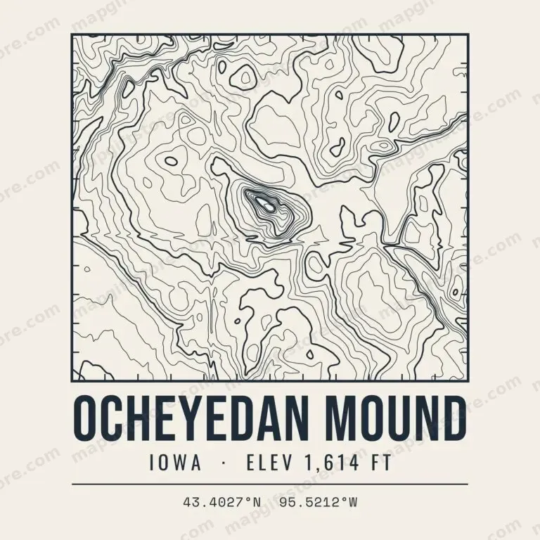 Ocheyedan MoundIowa · 1,614 ftGifts from $3.47
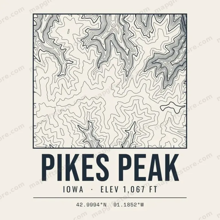 Pikes PeakIowa · 1,067 ftGifts from $3.47
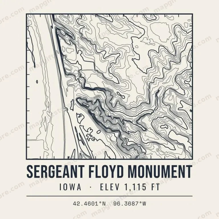 Sergeant Floyd MonumentIowa · 1,115 ftGifts from $3.47
Kansas
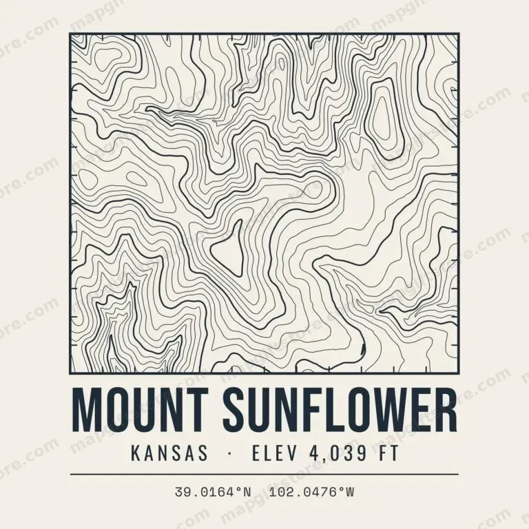 Mount SunflowerKansas · 4,039 ftGifts from $3.47
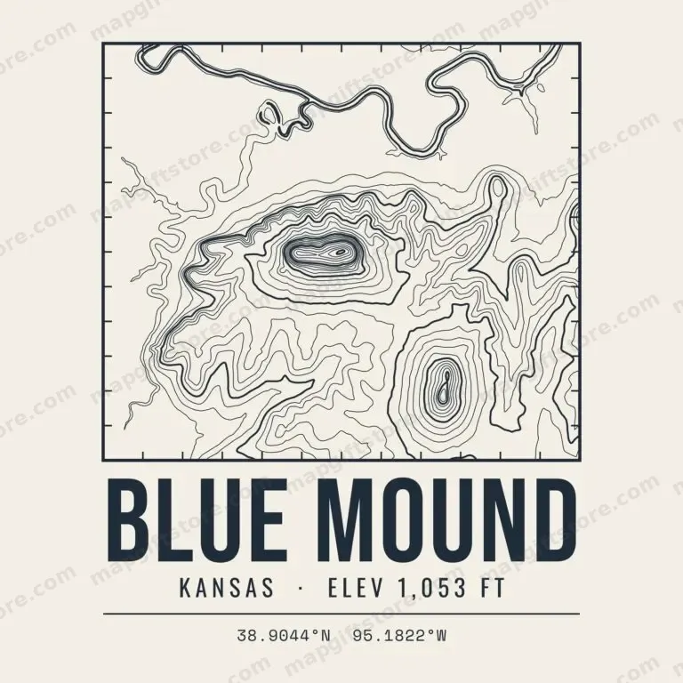 Blue MoundKansas · 1,053 ftGifts from $3.47
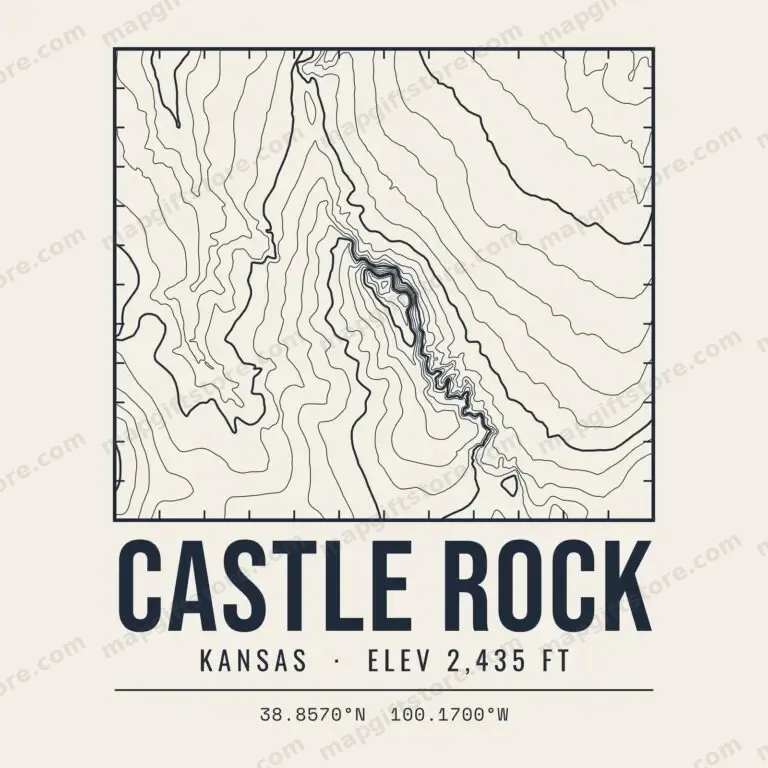 Castle RockKansas · 2,435 ftGifts from $3.47
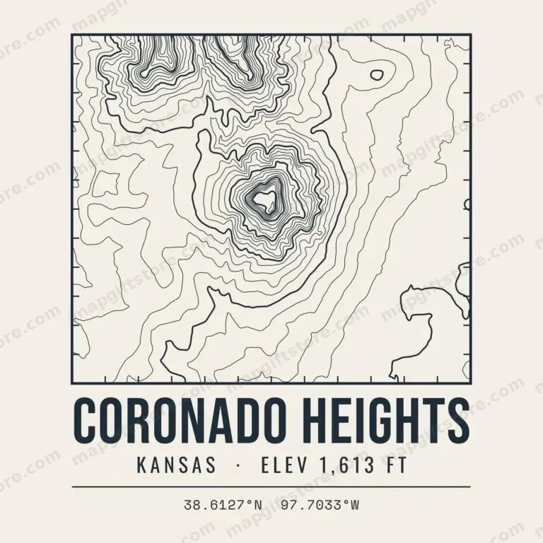 Coronado HeightsKansas · 1,613 ftGifts from $3.47
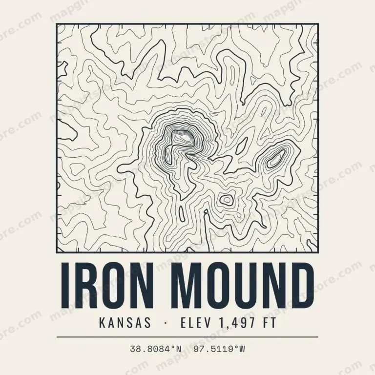 Iron MoundKansas · 1,497 ftGifts from $3.47
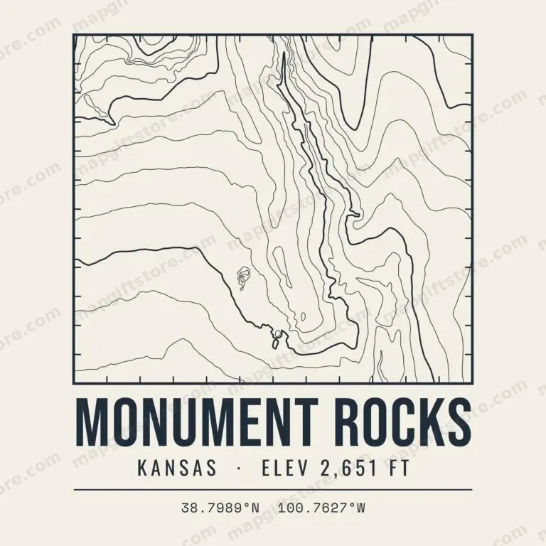 Monument RocksKansas · 2,651 ftGifts from $3.47
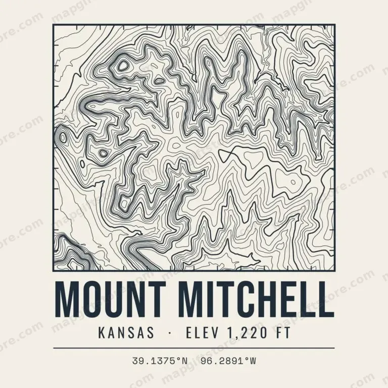 Mount MitchellKansas · 1,220 ftGifts from $3.47
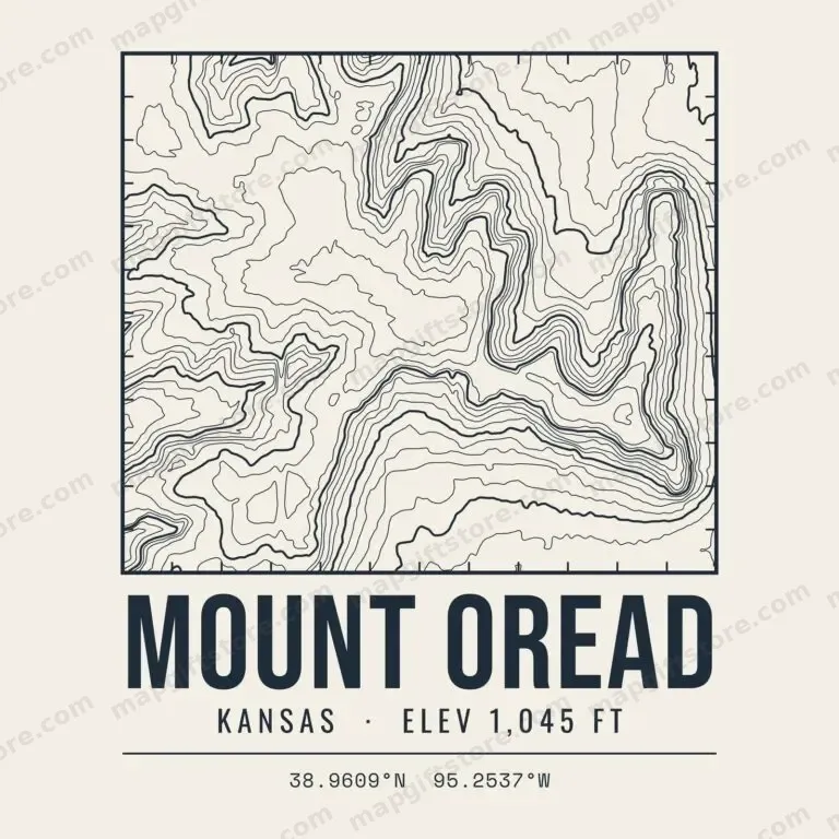 Mount OreadKansas · 1,045 ftGifts from $3.47
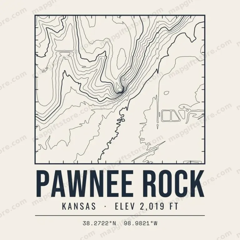 Pawnee RockKansas · 2,019 ftGifts from $3.47
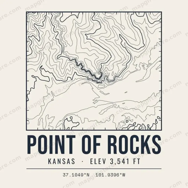 Point of RocksKansas · 3,541 ftGifts from $3.47
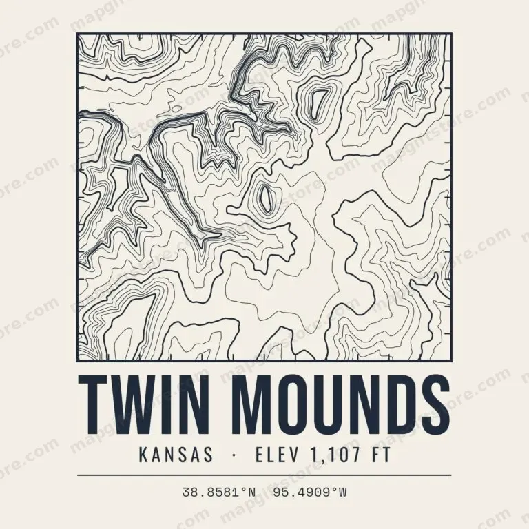 Twin MoundsKansas · 1,107 ftGifts from $3.47
Michigan
 Mount ArvonMichigan · 1,979 ftGifts from $3.47
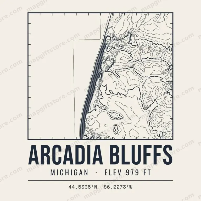 Arcadia BluffsMichigan · 979 ftGifts from $3.47
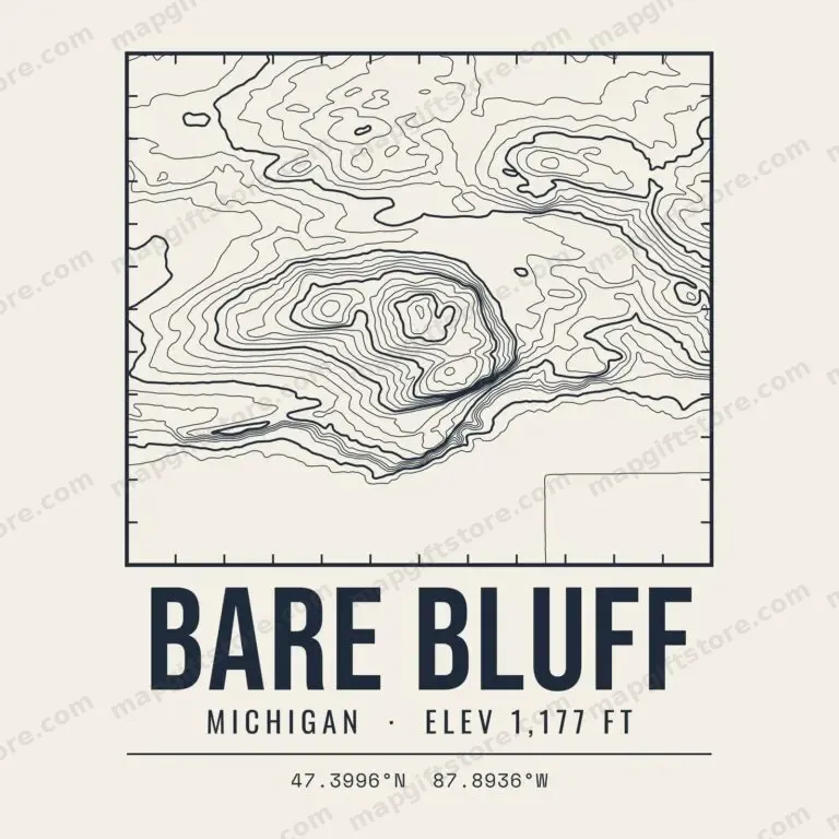 Bare BluffMichigan · 1,177 ftGifts from $3.47
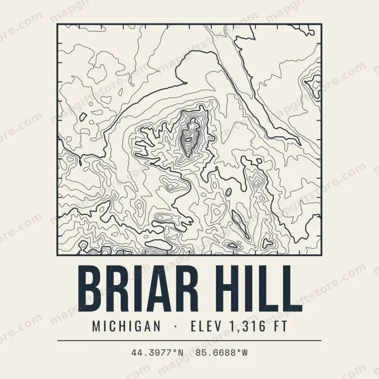 Briar HillMichigan · 1,316 ftGifts from $3.47
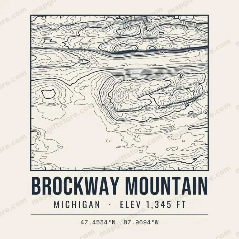 Brockway MountainMichigan · 1,345 ftGifts from $3.47
 Castle Rock (St. Ignace)Michigan · 743 ftGifts from $3.47
 Copper PeakMichigan · 1,558 ftGifts from $3.47
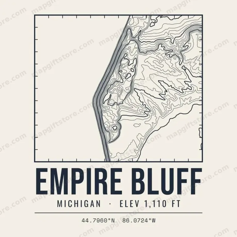 Empire BluffMichigan · 1,110 ftGifts from $3.47
 Fort Holmes (Mackinac Island)Michigan · 901 ftGifts from $3.47
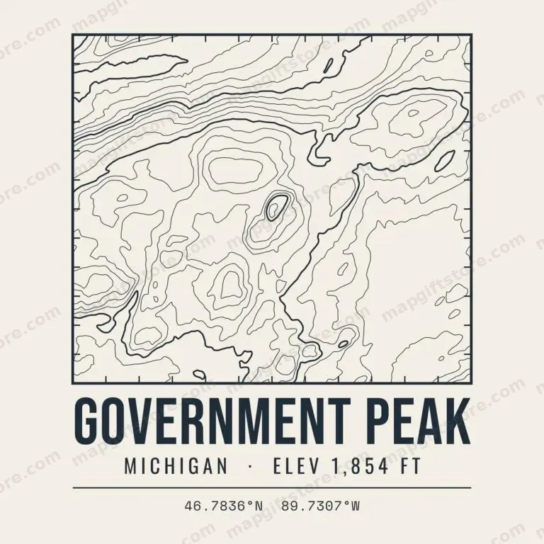 Government PeakMichigan · 1,854 ftGifts from $3.47
 Grand Sable DunesMichigan · 999 ftGifts from $3.47
 Hogback MountainMichigan · 1,233 ftGifts from $3.47
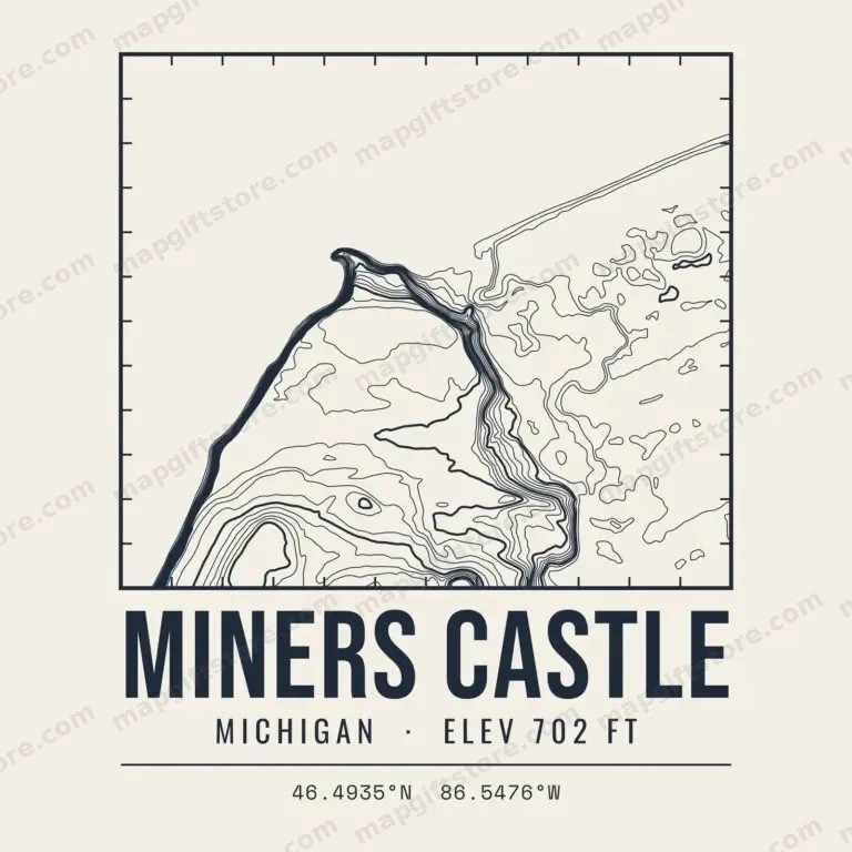 Miners CastleMichigan · 702 ftGifts from $3.47
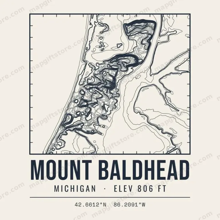 Mount BaldheadMichigan · 806 ftGifts from $3.47
 Mount CurwoodMichigan · 1,978 ftGifts from $3.47
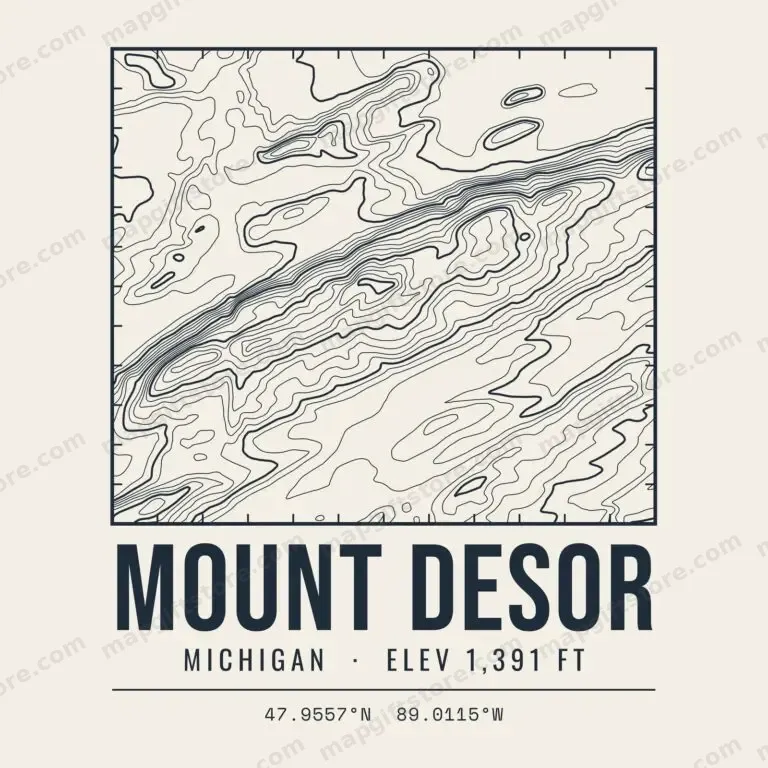 Mount DesorMichigan · 1,391 ftGifts from $3.47
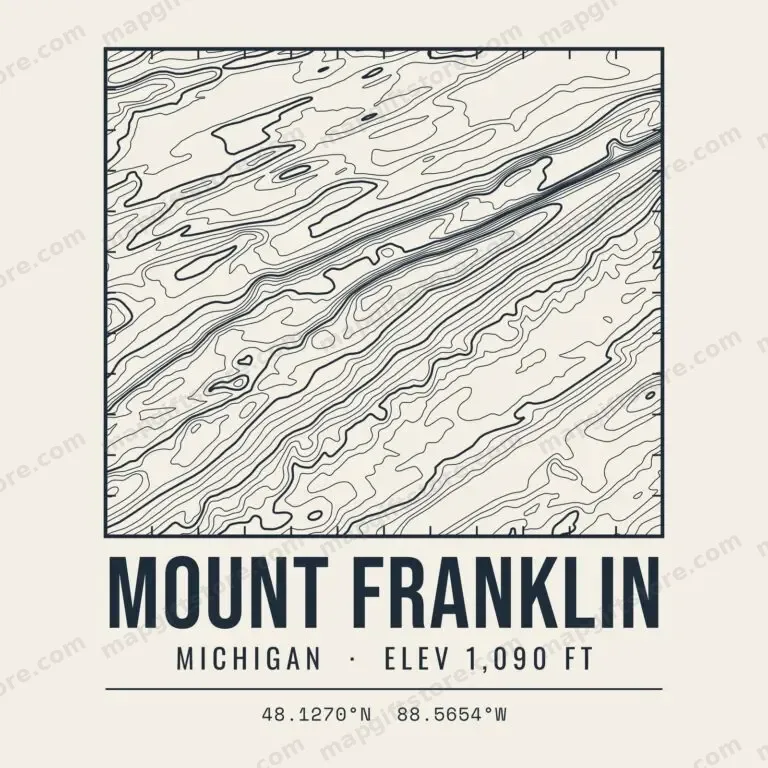 Mount FranklinMichigan · 1,090 ftGifts from $3.47
 Mount OjibwayMichigan · 1,146 ftGifts from $3.47
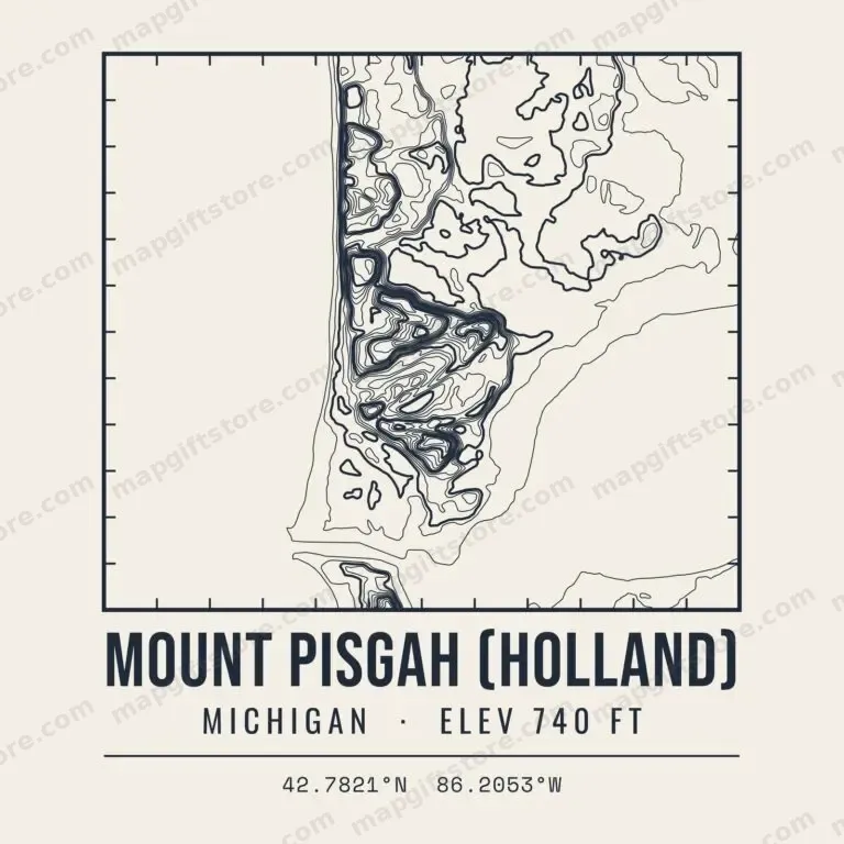 Mount Pisgah (Holland)Michigan · 740 ftGifts from $3.47
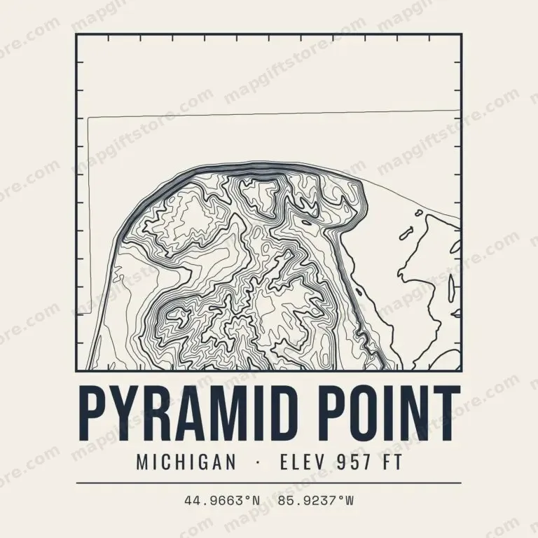 Pyramid PointMichigan · 957 ftGifts from $3.47
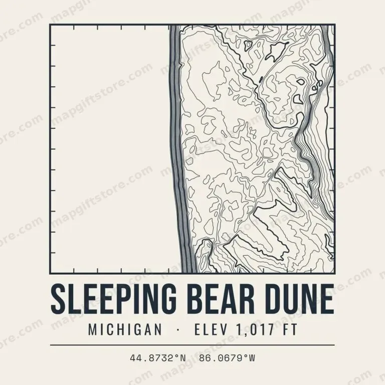 Sleeping Bear DuneMichigan · 1,017 ftGifts from $3.47
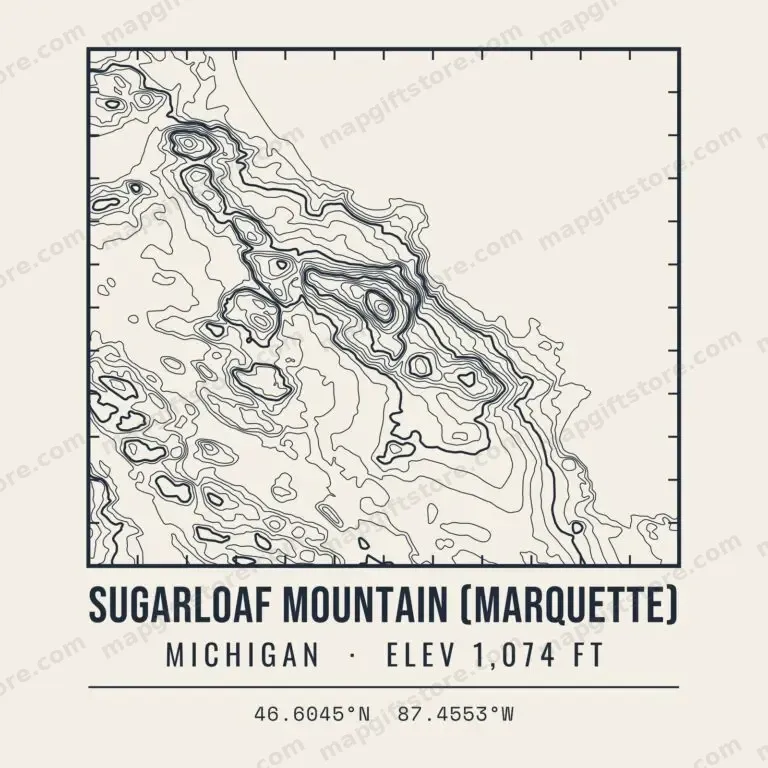 Sugarloaf Mountain (Marquette)Michigan · 1,074 ftGifts from $3.47
 Summit PeakMichigan · 1,958 ftGifts from $3.47
Adventure Mountain ElevationMichigan · 1,467 ftGifts from $3.47
Alger County High Point ElevationMichigan · 1,178 ftGifts from $3.47
Alligator Eye ElevationMichigan · 1,622 ftGifts from $3.47
Antrim County High Point ElevationMichigan · 1,485 ftGifts from $3.47
Arcadian Hill ElevationMichigan · 1,228 ftGifts from $3.47
Bald Mountain Elevation (Gogebic County)Michigan · 1,321 ftGifts from $3.47
Bald Mountain Elevation (Marquette County)Michigan · 1,198 ftGifts from $3.47
Big Powderhorn Mountain ElevationMichigan · 1,641 ftGifts from $3.47
Big Rock ElevationMichigan · 1,521 ftGifts from $3.47
Breakfast Roll ElevationMichigan · 1,155 ftGifts from $3.47
Briar Hill ElevationMichigan · 1,704 ftGifts from $3.47
Brier Hill ElevationMichigan · 1,333 ftGifts from $3.47
Burnt Mountain ElevationMichigan · 1,275 ftGifts from $3.47
C Shaft Hill ElevationMichigan · 1,435 ftGifts from $3.47
Charlevoix County High Point ElevationMichigan · 1,559 ftGifts from $3.47
Chippewa County High Point ElevationMichigan · 1,098 ftGifts from $3.47
Cleary Hill ElevationMichigan · 1,475 ftGifts from $3.47
Cloud Peak ElevationMichigan · 1,525 ftGifts from $3.47
Crawford County High Point ElevationMichigan · 1,541 ftGifts from $3.47
Cuyahoga Peak ElevationMichigan · 1,595 ftGifts from $3.47
Delta County High Point ElevationMichigan · 1,070 ftGifts from $3.47
Dickinson County High Point ElevationMichigan · 1,612 ftGifts from $3.47
Gogebic County High Point ElevationMichigan · 1,874 ftGifts from $3.47
Government Peak ElevationMichigan · 1,854 ftGifts from $3.47
Gratiot Mountain ElevationMichigan · 1,495 ftGifts from $3.47
Green Hills ElevationMichigan · 1,691 ftGifts from $3.47
Green Mountain Peak ElevationMichigan · 1,242 ftGifts from $3.47
Haystack Mountain ElevationMichigan · 1,456 ftGifts from $3.47
Hogback Mountain ElevationMichigan · 1,233 ftGifts from $3.47
Houghton County High Point ElevationMichigan · 1,676 ftGifts from $3.47
Huron Mountain ElevationMichigan · 1,517 ftGifts from $3.47
Huron Mountains ElevationMichigan · 1,586 ftGifts from $3.47
Iron County High Point ElevationMichigan · 1,887 ftGifts from $3.47
Iron Hill ElevationMichigan · 1,202 ftGifts from $3.47
Ishpeming Point ElevationMichigan · 1,372 ftGifts from $3.47
Ives Hill ElevationMichigan · 1,543 ftGifts from $3.47
Kona Hills ElevationMichigan · 1,462 ftGifts from $3.47
LaFayette Peak ElevationMichigan · 1,339 ftGifts from $3.47
Lake County High Point ElevationMichigan · 1,410 ftGifts from $3.47
Limestone Mountain ElevationMichigan · 1,133 ftGifts from $3.47
Little Mountain ElevationMichigan · 1,151 ftGifts from $3.47
Luce County High Point ElevationMichigan · 1,199 ftGifts from $3.47
Mackinac County High Point ElevationMichigan · 999 ftGifts from $3.47
Menominee County High Point ElevationMichigan · 1,171 ftGifts from $3.47
Michigamme Mountain ElevationMichigan · 1,587 ftGifts from $3.47
Millie Hill ElevationMichigan · 1,572 ftGifts from $3.47
Miscowawbic Peak ElevationMichigan · 1,439 ftGifts from $3.47
Missaukee County High Point ElevationMichigan · 1,549 ftGifts from $3.47
Montmorency County High Point ElevationMichigan · 1,457 ftGifts from $3.47
Mount Arvon ElevationMichigan · 1,979 ftGifts from $3.47
Mount Benison ElevationMichigan · 1,586 ftGifts from $3.47
Mount Curwood ElevationMichigan · 1,979 ftGifts from $3.47
Mount Desor ElevationMichigan · 1,391 ftGifts from $3.47
Mount Franklin ElevationMichigan · 1,090 ftGifts from $3.47
Mount Homer ElevationMichigan · 1,470 ftGifts from $3.47
Mount Horace Greeley ElevationMichigan · 1,547 ftGifts from $3.47
Mount Houghton ElevationMichigan · 1,473 ftGifts from $3.47
Mount Ida ElevationMichigan · 1,511 ftGifts from $3.47
Mount Ives ElevationMichigan · 1,338 ftGifts from $3.47
Mount Kallio ElevationMichigan · 1,394 ftGifts from $3.47
Mount Lookout ElevationMichigan · 1,333 ftGifts from $3.47
Mount Mesnard ElevationMichigan · 1,127 ftGifts from $3.47
Mount Siskiwit ElevationMichigan · 1,203 ftGifts from $3.47
Mount Zion ElevationMichigan · 1,726 ftGifts from $3.47
Ogemaw County High Point ElevationMichigan · 1,518 ftGifts from $3.47
Osceola County High Point ElevationMichigan · 1,709 ftGifts from $3.47
Oscoda County High Point ElevationMichigan · 1,487 ftGifts from $3.47
Otsego County High Point ElevationMichigan · 1,525 ftGifts from $3.47
Pikes Peak ElevationMichigan · 1,163 ftGifts from $3.47
Pilot Knob ElevationMichigan · 1,540 ftGifts from $3.47
Point Mountain ElevationMichigan · 1,247 ftGifts from $3.47
Porcupine Mountains ElevationMichigan · 1,587 ftGifts from $3.47
Porcupine Peak ElevationMichigan · 1,794 ftGifts from $3.47
Ragged Hills ElevationMichigan · 1,432 ftGifts from $3.47
Roscommon County High Point ElevationMichigan · 1,578 ftGifts from $3.47
Schoolcraft County High Point ElevationMichigan · 1,061 ftGifts from $3.47
Sheridan Hill ElevationMichigan · 1,853 ftGifts from $3.47
Silver Mount ElevationMichigan · 1,310 ftGifts from $3.47
Sugar Mountain ElevationMichigan · 1,364 ftGifts from $3.47
Summit Mountain ElevationMichigan · 1,729 ftGifts from $3.47
Summit Peak ElevationMichigan · 1,958 ftGifts from $3.47
Tokiahok Head ElevationMichigan · 1,511 ftGifts from $3.47
Tolonen Hill ElevationMichigan · 1,509 ftGifts from $3.47
Trader Hill ElevationMichigan · 1,471 ftGifts from $3.47
Trap Hills ElevationMichigan · 1,781 ftGifts from $3.47
Trout Mountain ElevationMichigan · 1,217 ftGifts from $3.47
Underwood Hill ElevationMichigan · 1,875 ftGifts from $3.47
Wewe Hills ElevationMichigan · 1,639 ftGifts from $3.47
Wolf Mountain ElevationMichigan · 1,817 ftGifts from $3.47
Minnesota
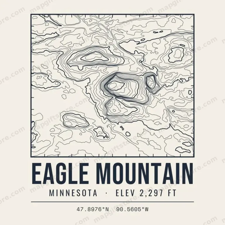 Eagle MountainMinnesota · 2,297 ftGifts from $3.47
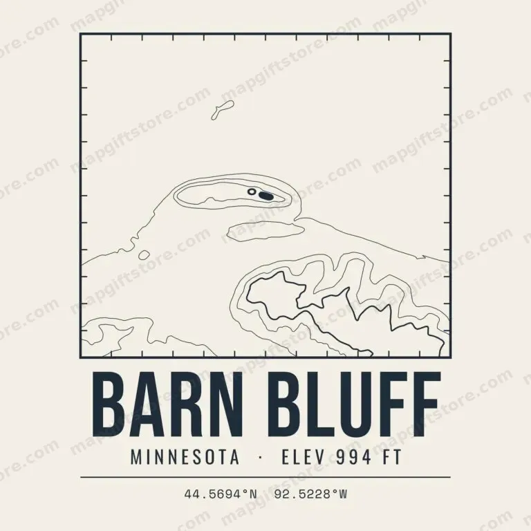 Barn BluffMinnesota · 994 ftGifts from $3.47
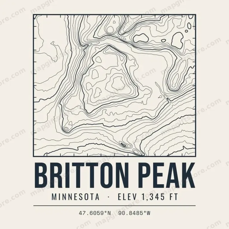 Britton PeakMinnesota · 1,345 ftGifts from $3.47
 Carlton PeakMinnesota · 1,524 ftGifts from $3.47
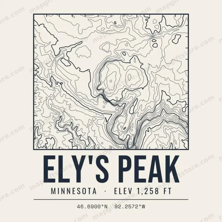 Ely's PeakMinnesota · 1,258 ftGifts from $3.47
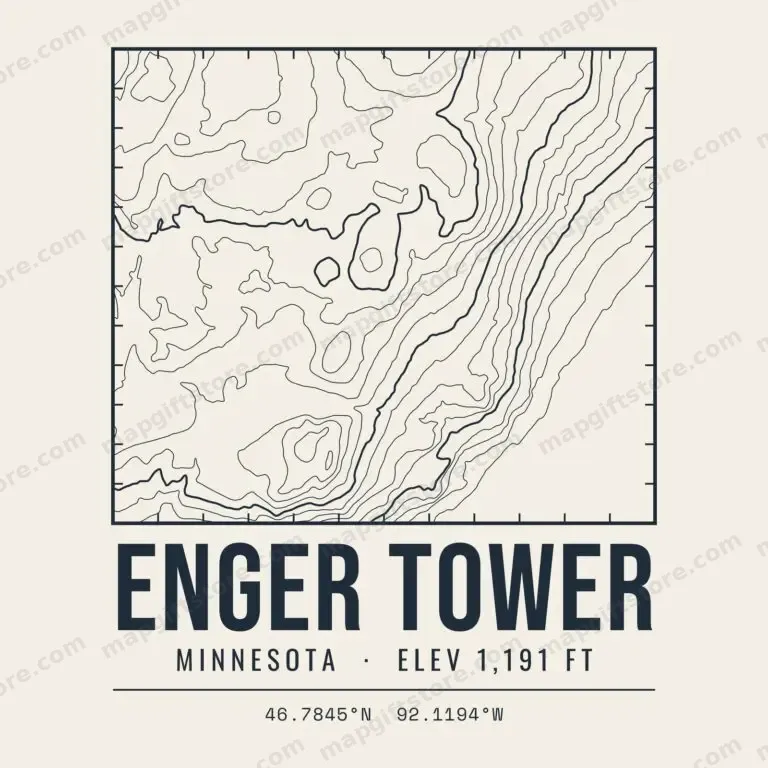 Enger TowerMinnesota · 1,191 ftGifts from $3.47
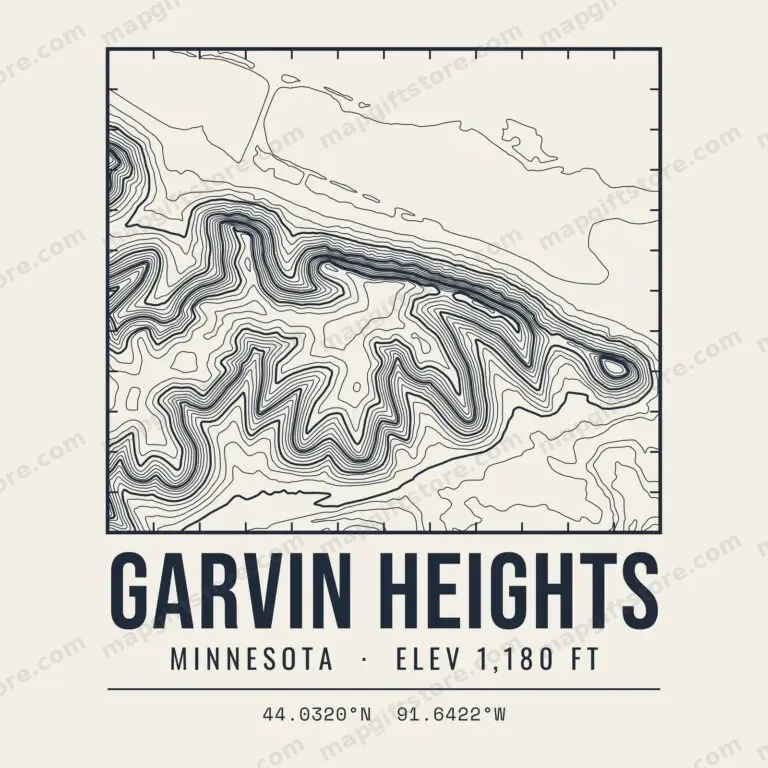 Garvin HeightsMinnesota · 1,180 ftGifts from $3.47
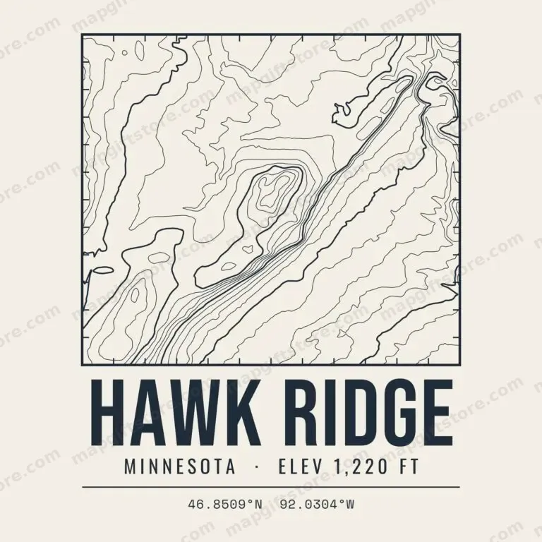 Hawk RidgeMinnesota · 1,220 ftGifts from $3.47
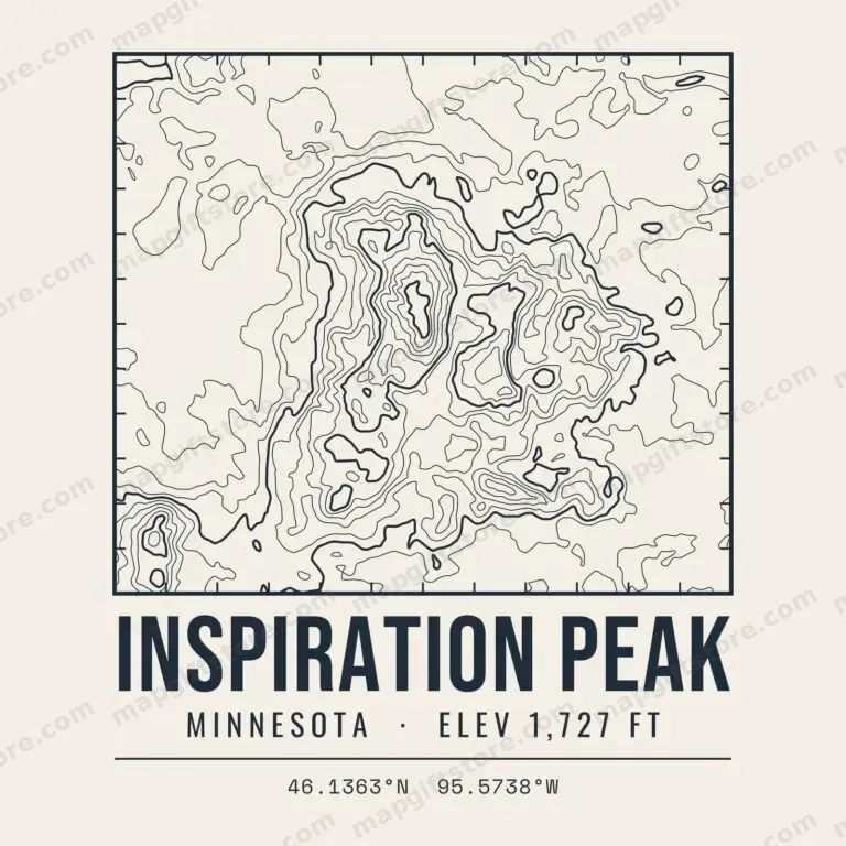 Inspiration PeakMinnesota · 1,727 ftGifts from $3.47
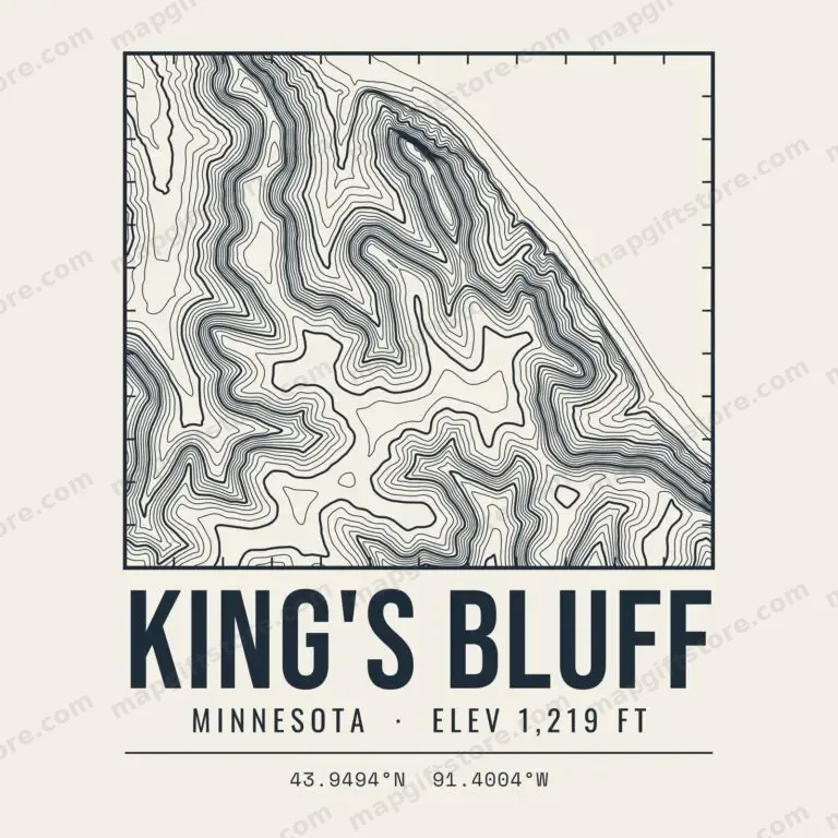 King's BluffMinnesota · 1,219 ftGifts from $3.47
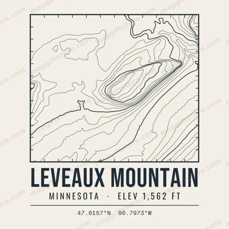 Leveaux MountainMinnesota · 1,562 ftGifts from $3.47
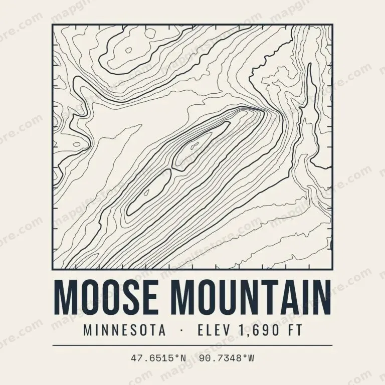 Moose MountainMinnesota · 1,690 ftGifts from $3.47
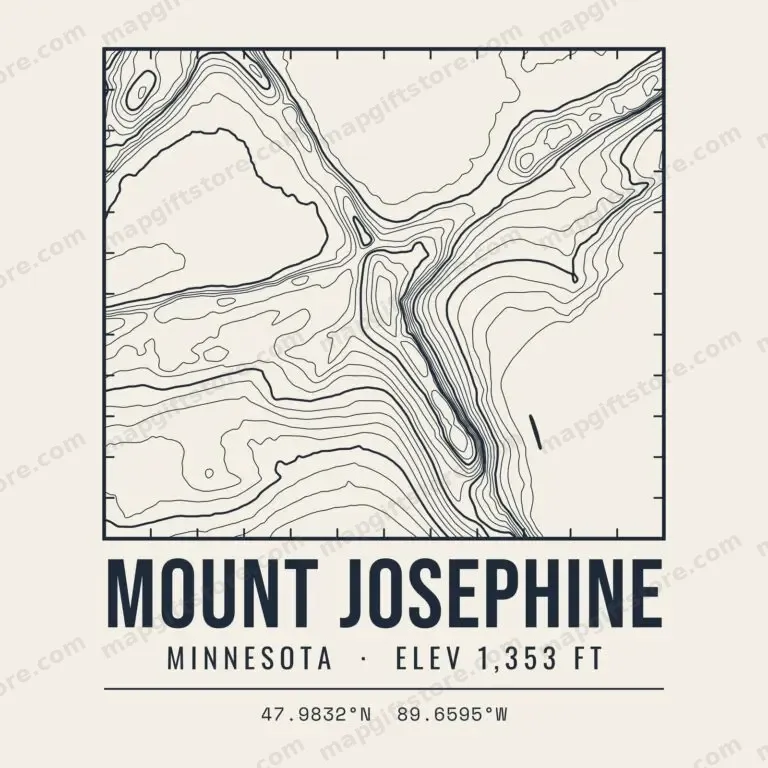 Mount JosephineMinnesota · 1,353 ftGifts from $3.47
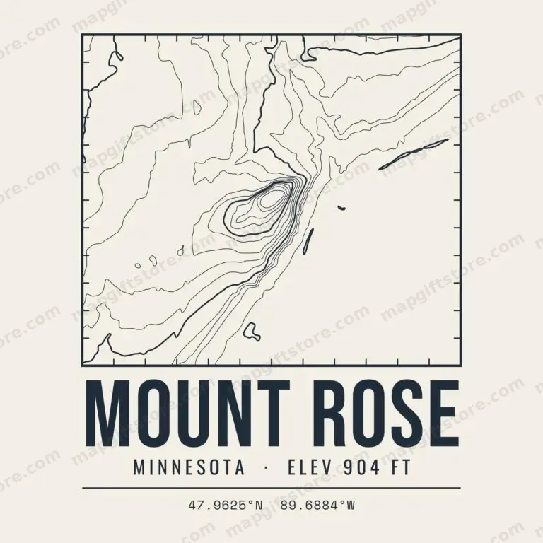 Mount RoseMinnesota · 904 ftGifts from $3.47
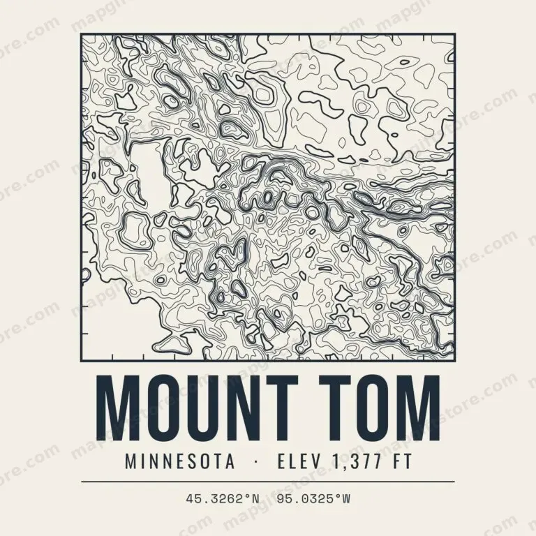 Mount TomMinnesota · 1,377 ftGifts from $3.47
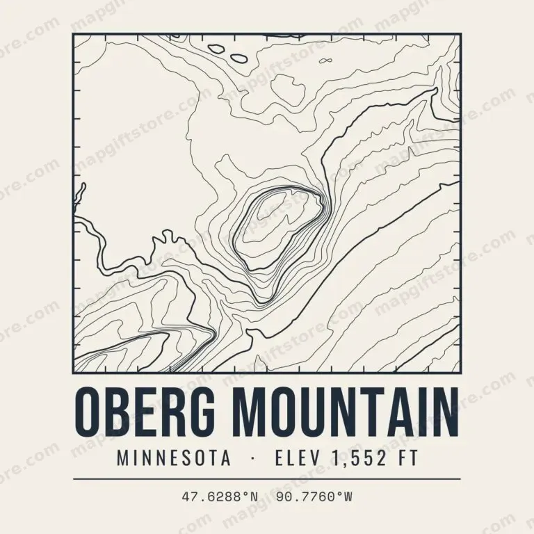 Oberg MountainMinnesota · 1,552 ftGifts from $3.47
 Palisade HeadMinnesota · 940 ftGifts from $3.47
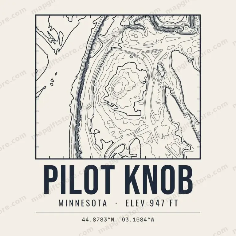 Pilot KnobMinnesota · 947 ftGifts from $3.47
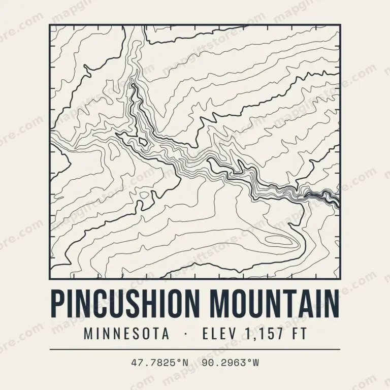 Pincushion MountainMinnesota · 1,157 ftGifts from $3.47
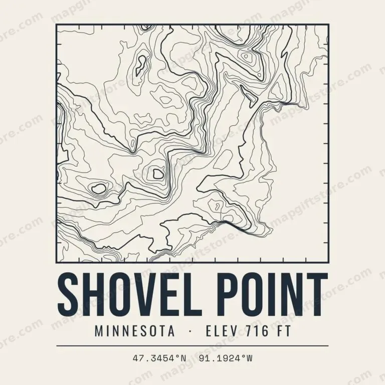 Shovel PointMinnesota · 716 ftGifts from $3.47
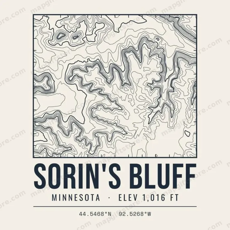 Sorin's BluffMinnesota · 1,016 ftGifts from $3.47
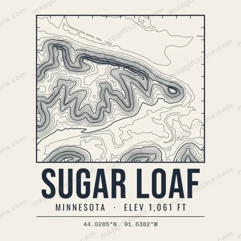 Sugar LoafMinnesota · 1,061 ftGifts from $3.47
Anchor Hill ElevationMinnesota · 1,896 ftGifts from $3.47
Bardon Peak ElevationMinnesota · 1,247 ftGifts from $3.47
Becker County High Point ElevationMinnesota · 1,866 ftGifts from $3.47
Beltrami County High Point ElevationMinnesota · 1,537 ftGifts from $3.47
Bengal Hill ElevationMinnesota · 1,510 ftGifts from $3.47
Big Thunder Peak ElevationMinnesota · 1,754 ftGifts from $3.47
Blueberry Hill ElevationMinnesota · 1,492 ftGifts from $3.47
Brule Mountain ElevationMinnesota · 2,213 ftGifts from $3.47
Brush Hill ElevationMinnesota · 1,506 ftGifts from $3.47
Carlton County High Point ElevationMinnesota · 1,452 ftGifts from $3.47
Carlton Peak ElevationMinnesota · 1,523 ftGifts from $3.47
Cass County High Point ElevationMinnesota · 1,638 ftGifts from $3.47
Clay County High Point ElevationMinnesota · 1,547 ftGifts from $3.47
Clearwater County High Point ElevationMinnesota · 2,009 ftGifts from $3.47
Cottonwood County High Point ElevationMinnesota · 1,571 ftGifts from $3.47
Crow Wing County High Point ElevationMinnesota · 1,496 ftGifts from $3.47
Cuyuna Range ElevationMinnesota · 1,198 ftGifts from $3.47
Disappointment Mountain ElevationMinnesota · 1,823 ftGifts from $3.47
Douglas County High Point ElevationMinnesota · 1,624 ftGifts from $3.47
Eagle Mountain Elevation (1,661 ft)Minnesota · 1,661 ftGifts from $3.47
Eagle Mountain Elevation (2,301 ft)Minnesota · 2,301 ftGifts from $3.47
Elys Peak ElevationMinnesota · 1,221 ftGifts from $3.47
Embarrass Mountains ElevationMinnesota · 1,938 ftGifts from $3.47
Faribault County High Point ElevationMinnesota · 1,437 ftGifts from $3.47
Farquhar Knob ElevationMinnesota · 1,774 ftGifts from $3.47
Farquhar Peak ElevationMinnesota · 1,250 ftGifts from $3.47
Fire Tower Hill ElevationMinnesota · 1,401 ftGifts from $3.47
Ghost Hill ElevationMinnesota · 1,551 ftGifts from $3.47
Grant County High Point ElevationMinnesota · 1,410 ftGifts from $3.47
Gustafson Hill ElevationMinnesota · 1,350 ftGifts from $3.47
Harrington Hills ElevationMinnesota · 1,415 ftGifts from $3.47
Hickory Hill ElevationMinnesota · 1,337 ftGifts from $3.47
Hogback Hill ElevationMinnesota · 1,836 ftGifts from $3.47
Honeymoon Mountain ElevationMinnesota · 1,897 ftGifts from $3.47
Hubbard County High Point ElevationMinnesota · 1,844 ftGifts from $3.47
Itasca County High Point ElevationMinnesota · 1,741 ftGifts from $3.47
Jack Pine Hill ElevationMinnesota · 1,951 ftGifts from $3.47
Jackson County High Point ElevationMinnesota · 1,578 ftGifts from $3.47
Jasper Peak ElevationMinnesota · 1,708 ftGifts from $3.47
Kandiyohi County High Point ElevationMinnesota · 1,416 ftGifts from $3.47
Kelso Mountain ElevationMinnesota · 2,086 ftGifts from $3.47
Koochiching County High Point ElevationMinnesota · 1,681 ftGifts from $3.47
Lac qui Parle County High Point ElevationMinnesota · 1,410 ftGifts from $3.47
Lake of the Woods County High Point ElevationMinnesota · 1,317 ftGifts from $3.47
Leveaux Mountain ElevationMinnesota · 1,562 ftGifts from $3.47
Lima Mountain ElevationMinnesota · 2,237 ftGifts from $3.47
Lincoln County High Point ElevationMinnesota · 1,998 ftGifts from $3.47
Lookout Mountain ElevationMinnesota · 1,852 ftGifts from $3.47
Lyon County High Point ElevationMinnesota · 1,751 ftGifts from $3.47
Maple Hill Elevation (Cass County)Minnesota · 1,548 ftGifts from $3.47
Maple Hill Elevation (St. Louis County)Minnesota · 1,653 ftGifts from $3.47
Mariner Mountain ElevationMinnesota · 1,212 ftGifts from $3.47
Martin County High Point ElevationMinnesota · 1,413 ftGifts from $3.47
Mesabi Range ElevationMinnesota · 1,936 ftGifts from $3.47
Misquah Hills ElevationMinnesota · 2,253 ftGifts from $3.47
Moose Mountain Elevation (Cook County)Minnesota · 1,690 ftGifts from $3.47
Moose Mountain Elevation (St. Louis County)Minnesota · 1,149 ftGifts from $3.47
Morrison County High Point ElevationMinnesota · 1,532 ftGifts from $3.47
Mount Josephine ElevationMinnesota · 1,353 ftGifts from $3.47
Mount Maud ElevationMinnesota · 1,753 ftGifts from $3.47
Mount Nebo ElevationMinnesota · 1,514 ftGifts from $3.47
Mount Sophie ElevationMinnesota · 1,814 ftGifts from $3.47
Mount Weber ElevationMinnesota · 1,947 ftGifts from $3.47
Mower County High Point ElevationMinnesota · 1,441 ftGifts from $3.47
Murphy Mountain ElevationMinnesota · 1,608 ftGifts from $3.47
Murray County High Point ElevationMinnesota · 1,929 ftGifts from $3.47
Nobles County High Point ElevationMinnesota · 1,811 ftGifts from $3.47
Norris Hill ElevationMinnesota · 1,926 ftGifts from $3.47
Oberg Mountain ElevationMinnesota · 1,553 ftGifts from $3.47
Otter Tail County High Point ElevationMinnesota · 1,800 ftGifts from $3.47
Peabody Hill ElevationMinnesota · 2,020 ftGifts from $3.47
Pike Mountain ElevationMinnesota · 1,936 ftGifts from $3.47
Pine County High Point ElevationMinnesota · 1,360 ftGifts from $3.47
Pipestone County High Point ElevationMinnesota · 1,996 ftGifts from $3.47
Polk County High Point ElevationMinnesota · 1,573 ftGifts from $3.47
Pope County High Point ElevationMinnesota · 1,464 ftGifts from $3.47
Redwood County High Point ElevationMinnesota · 1,455 ftGifts from $3.47
Rock County High Point ElevationMinnesota · 1,797 ftGifts from $3.47
Sawtooth Mountains ElevationMinnesota · 1,880 ftGifts from $3.47
St. Louis County High Point ElevationMinnesota · 1,943 ftGifts from $3.47
Stearns County High Point ElevationMinnesota · 1,463 ftGifts from $3.47
Stony Tower Hill ElevationMinnesota · 2,081 ftGifts from $3.47
Strawberry Mountain ElevationMinnesota · 1,855 ftGifts from $3.47
Sugar Hills ElevationMinnesota · 1,754 ftGifts from $3.47
Sugarloaf ElevationMinnesota · 1,478 ftGifts from $3.47
Swede Hill ElevationMinnesota · 1,338 ftGifts from $3.47
Wadena County High Point ElevationMinnesota · 1,539 ftGifts from $3.47
Warren Hill ElevationMinnesota · 1,458 ftGifts from $3.47
White Hills ElevationMinnesota · 1,499 ftGifts from $3.47
Yellow Medicine County High Point ElevationMinnesota · 1,744 ftGifts from $3.47
Missouri
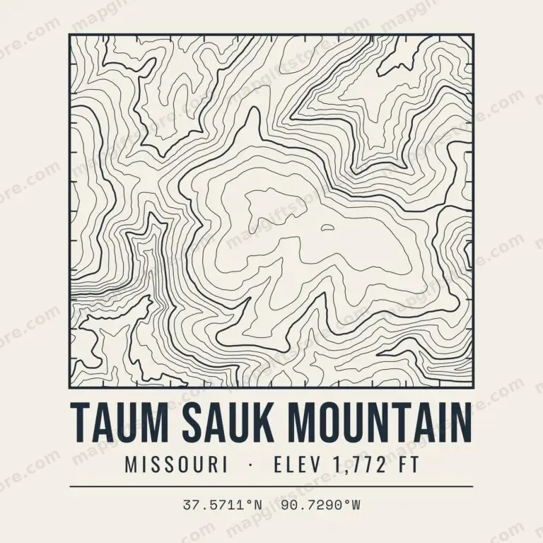 Taum Sauk MountainMissouri · 1,772 ftGifts from $3.47
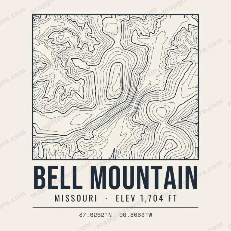 Bell MountainMissouri · 1,704 ftGifts from $3.47
 Buford MountainMissouri · 1,746 ftGifts from $3.47
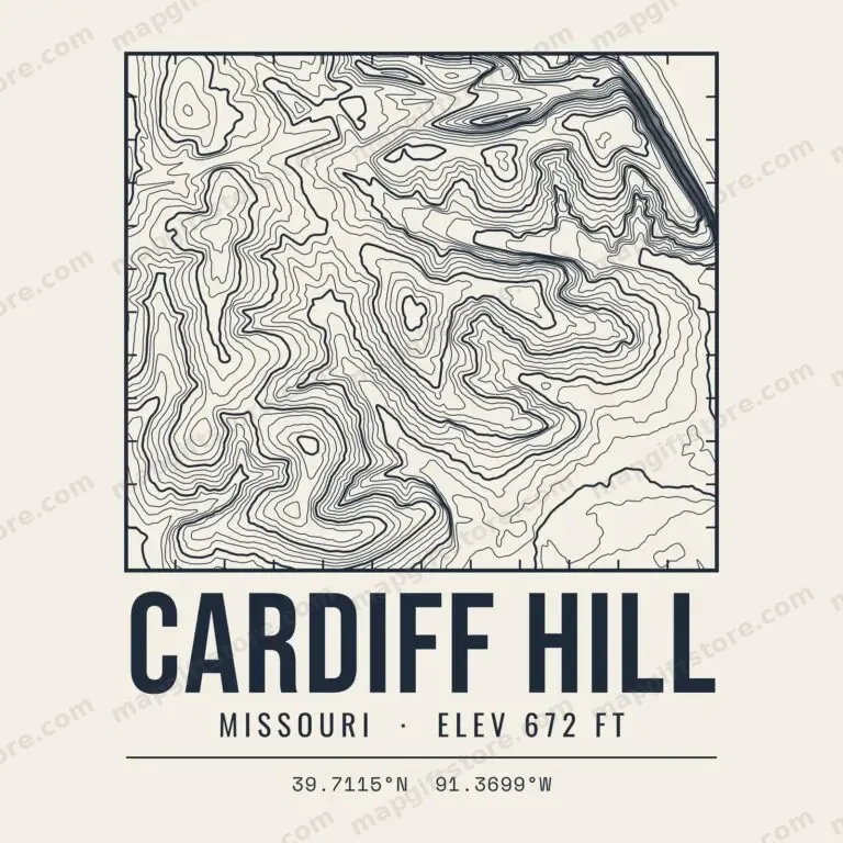 Cardiff HillMissouri · 672 ftGifts from $3.47
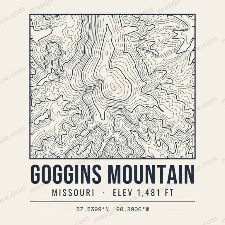 Goggins MountainMissouri · 1,481 ftGifts from $3.47
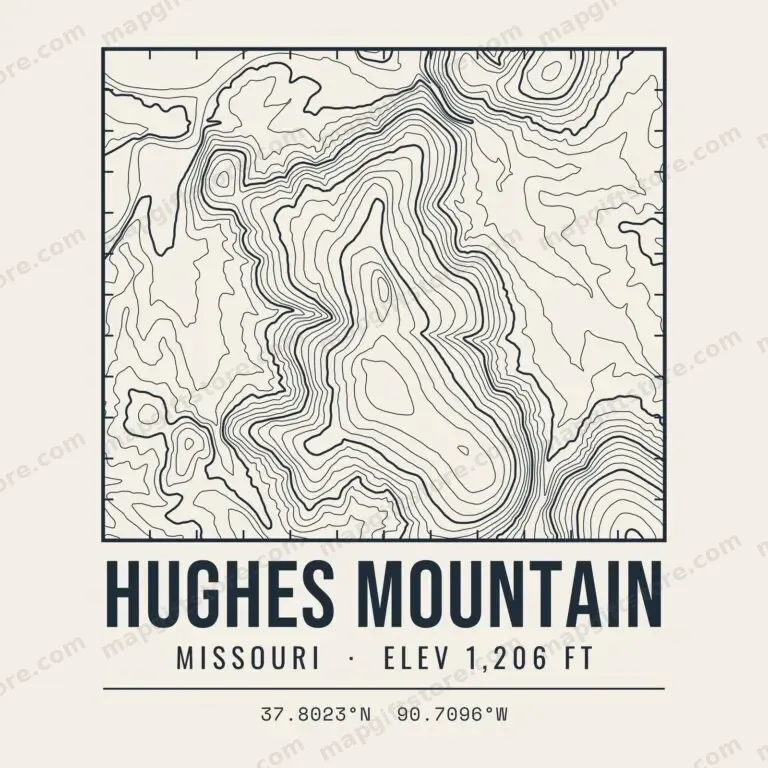 Hughes MountainMissouri · 1,206 ftGifts from $3.47
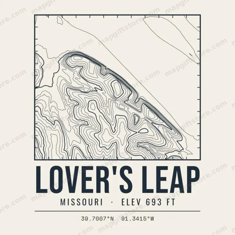 Lover's LeapMissouri · 693 ftGifts from $3.47
 Pilot KnobMissouri · 1,498 ftGifts from $3.47
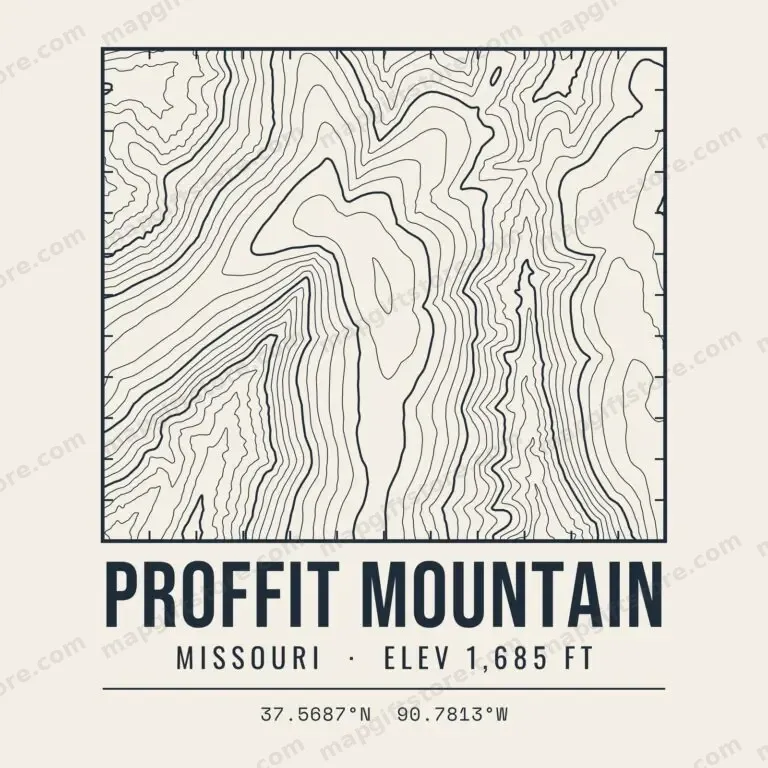 Proffit MountainMissouri · 1,685 ftGifts from $3.47
 Shepherd MountainMissouri · 1,612 ftGifts from $3.47
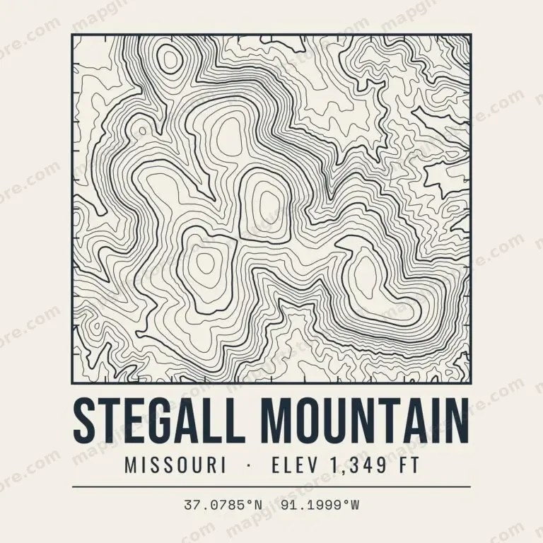 Stegall MountainMissouri · 1,349 ftGifts from $3.47
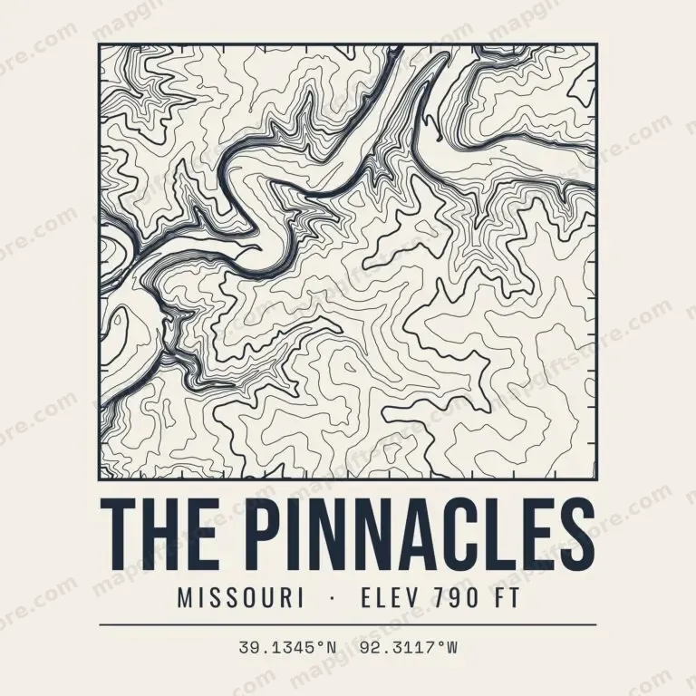 The PinnaclesMissouri · 790 ftGifts from $3.47
 Wildcat MountainMissouri · 1,748 ftGifts from $3.47
Nebraska
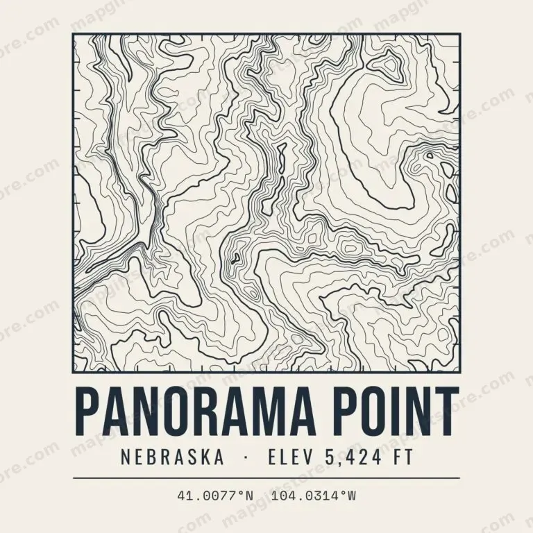 Panorama PointNebraska · 5,424 ftGifts from $3.47
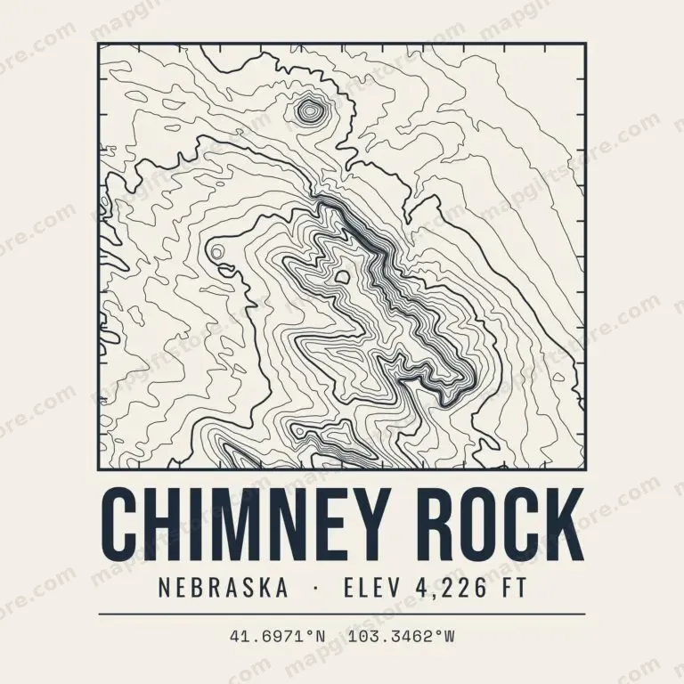 Chimney RockNebraska · 4,226 ftGifts from $3.47
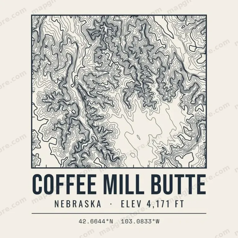 Coffee Mill ButteNebraska · 4,171 ftGifts from $3.47
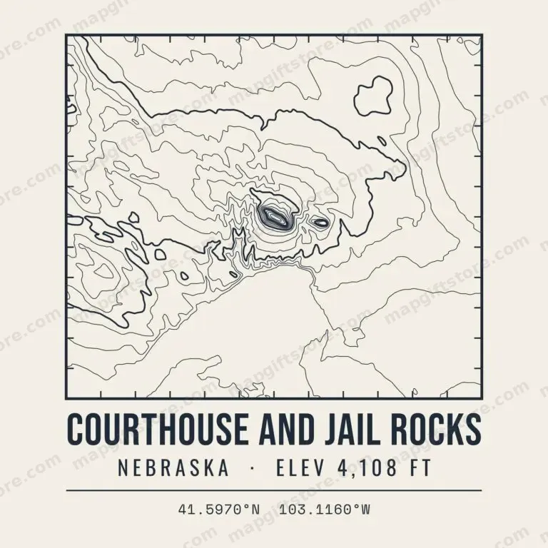 Courthouse and Jail RocksNebraska · 4,108 ftGifts from $3.47
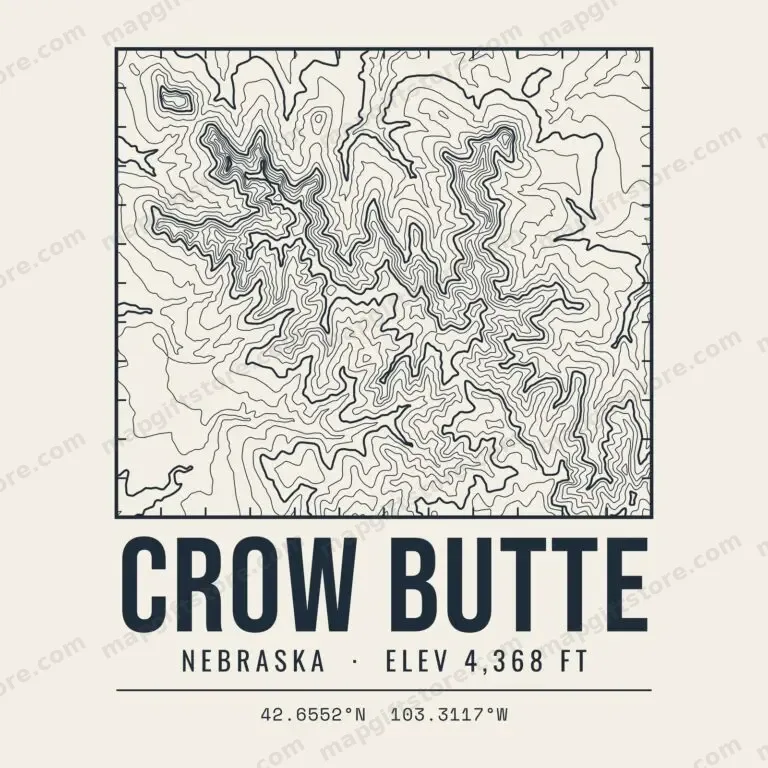 Crow ButteNebraska · 4,368 ftGifts from $3.47
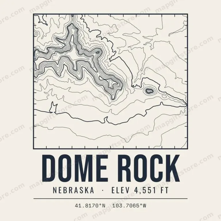 Dome RockNebraska · 4,551 ftGifts from $3.47
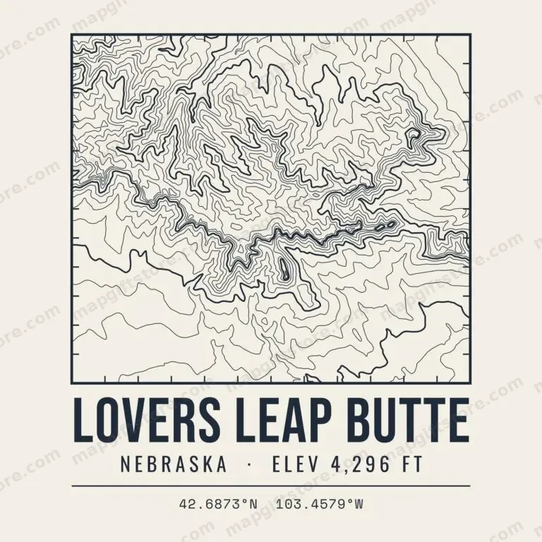 Lovers Leap ButteNebraska · 4,296 ftGifts from $3.47
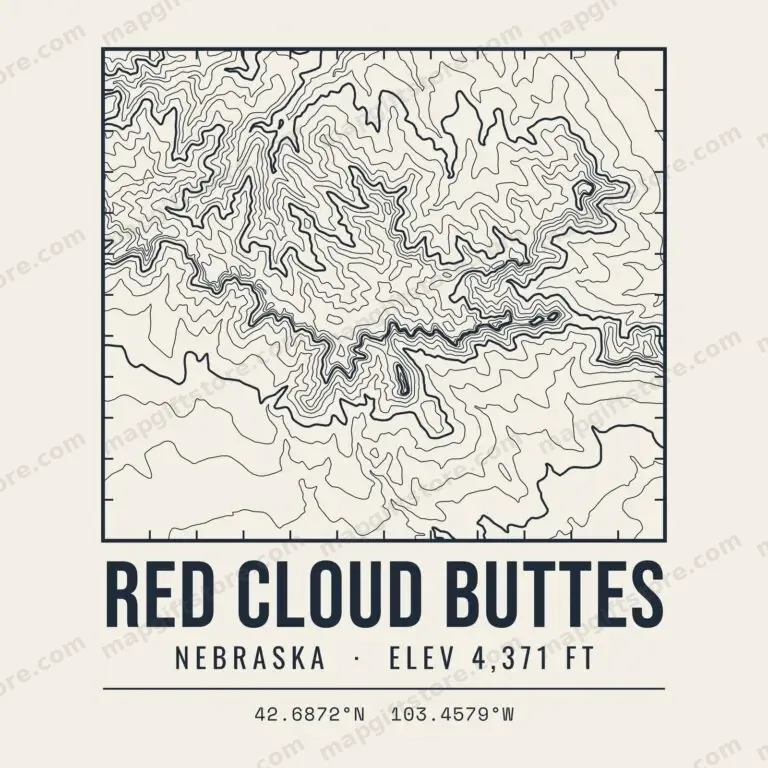 Red Cloud ButtesNebraska · 4,371 ftGifts from $3.47
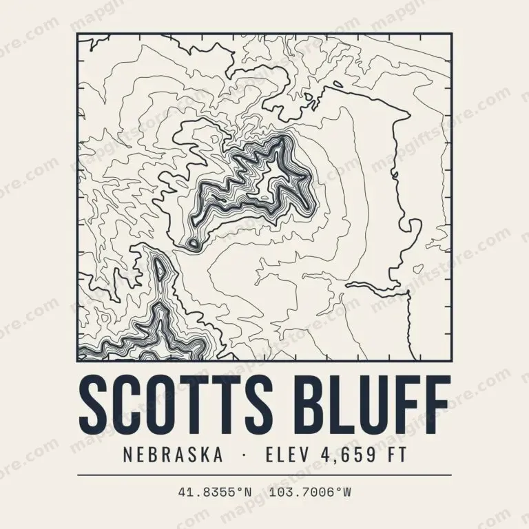 Scotts BluffNebraska · 4,659 ftGifts from $3.47
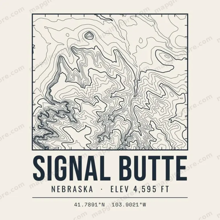 Signal ButteNebraska · 4,595 ftGifts from $3.47
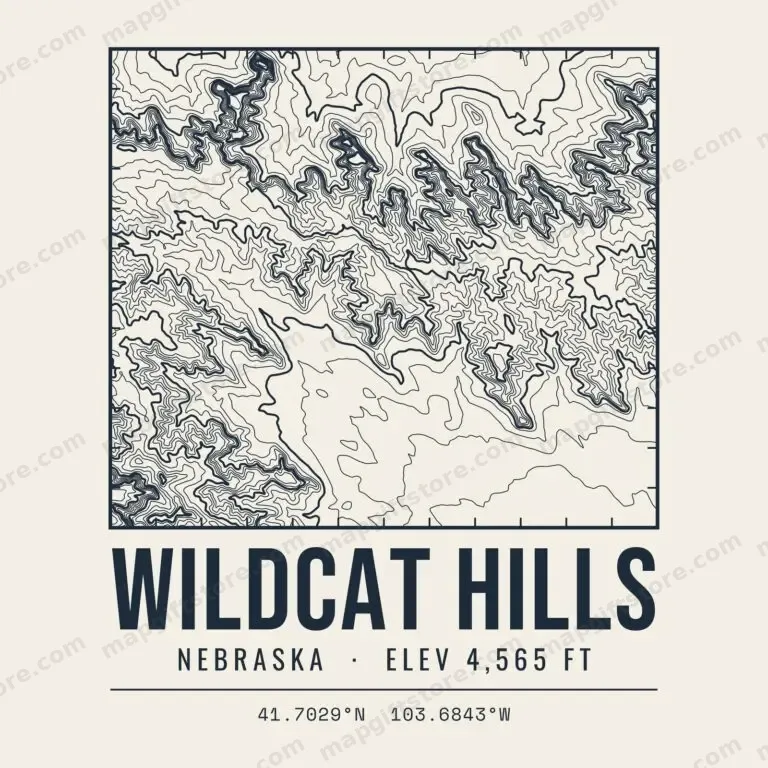 Wildcat HillsNebraska · 4,565 ftGifts from $3.47
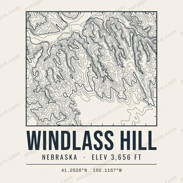 Windlass HillNebraska · 3,656 ftGifts from $3.47
North Dakota
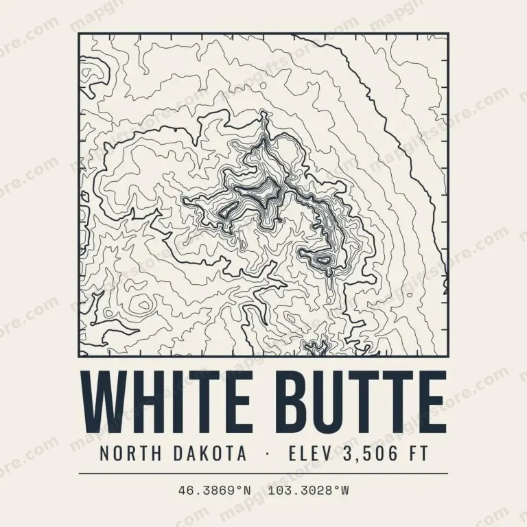 White ButteNorth Dakota · 3,506 ftGifts from $3.47
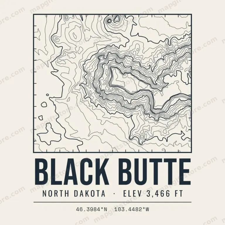 Black ButteNorth Dakota · 3,466 ftGifts from $3.47
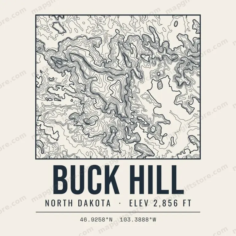 Buck HillNorth Dakota · 2,856 ftGifts from $3.47
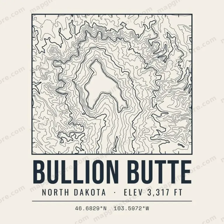 Bullion ButteNorth Dakota · 3,317 ftGifts from $3.47
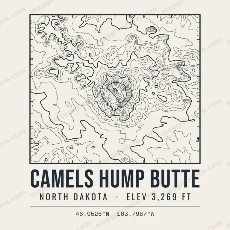 Camels Hump ButteNorth Dakota · 3,269 ftGifts from $3.47
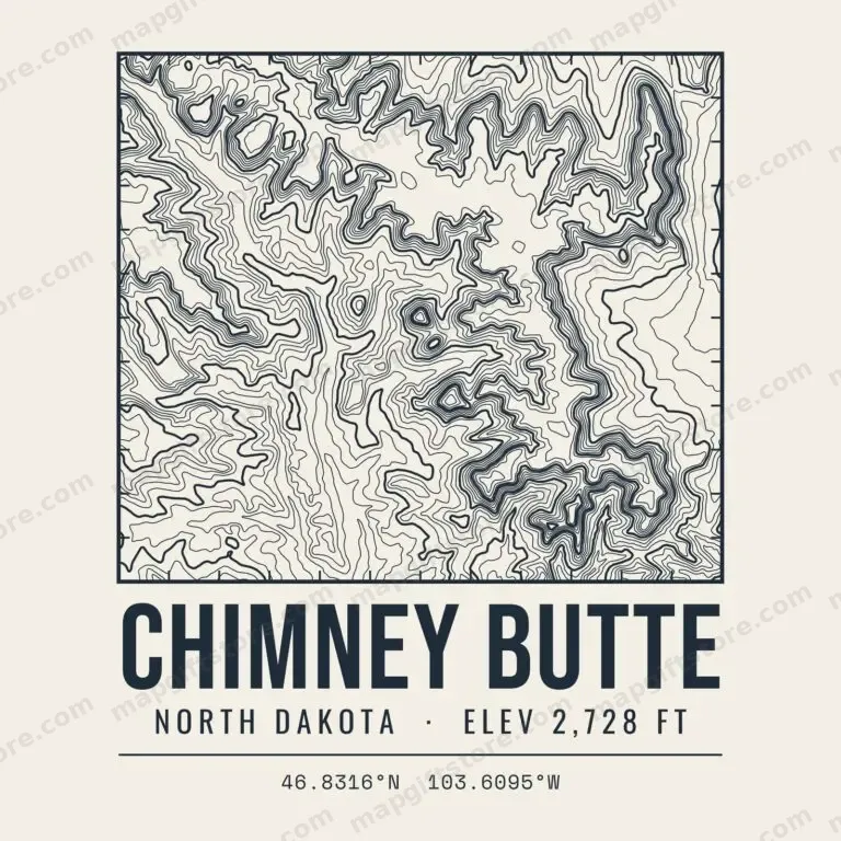 Chimney ButteNorth Dakota · 2,728 ftGifts from $3.47
 Killdeer MountainsNorth Dakota · 3,281 ftGifts from $3.47
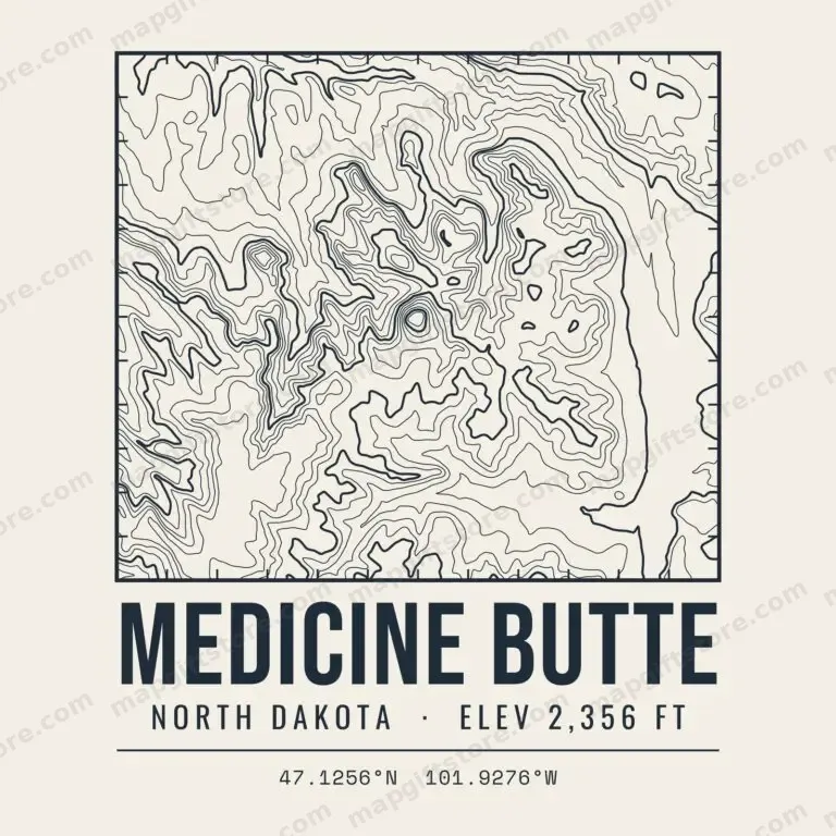 Medicine ButteNorth Dakota · 2,356 ftGifts from $3.47
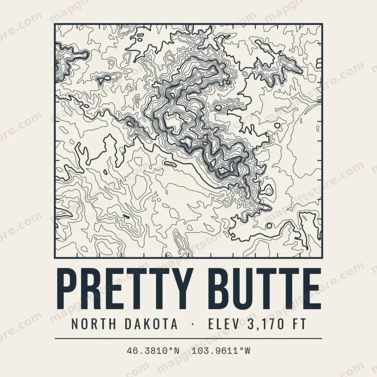 Pretty ButteNorth Dakota · 3,170 ftGifts from $3.47
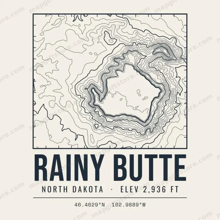 Rainy ButteNorth Dakota · 2,936 ftGifts from $3.47
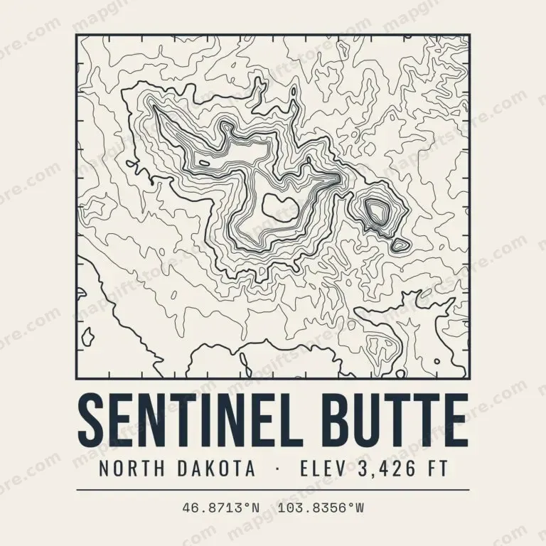 Sentinel ButteNorth Dakota · 3,426 ftGifts from $3.47
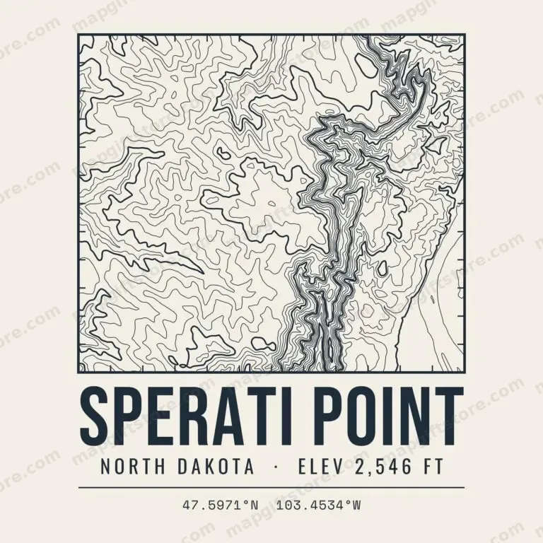 Sperati PointNorth Dakota · 2,546 ftGifts from $3.47
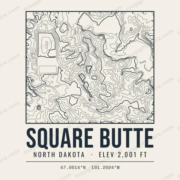 Square ButteNorth Dakota · 2,001 ftGifts from $3.47
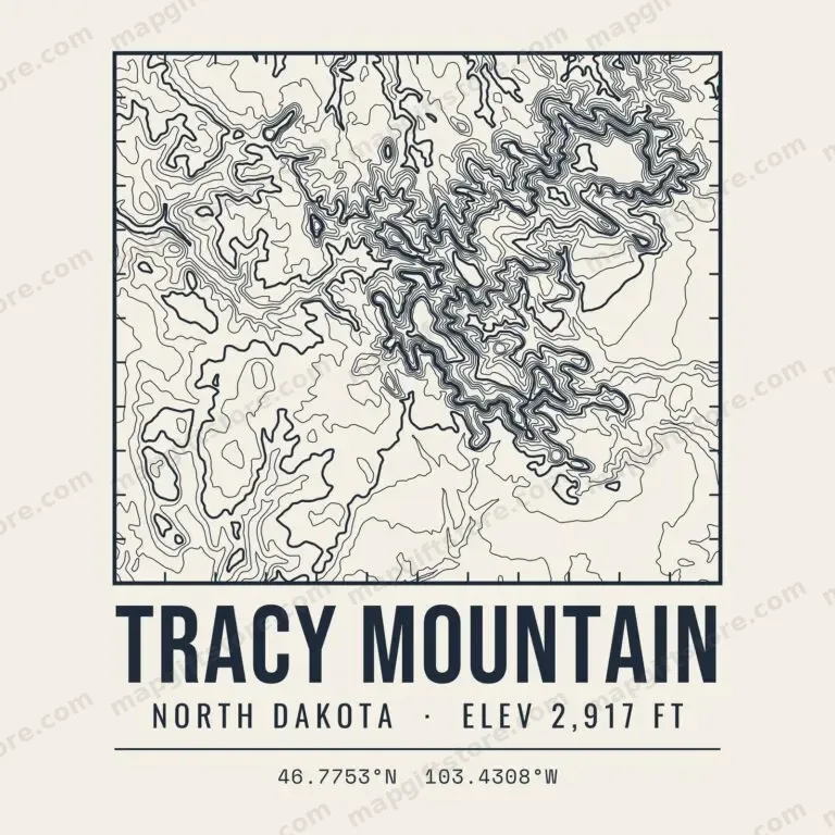 Tracy MountainNorth Dakota · 2,917 ftGifts from $3.47
Ohio
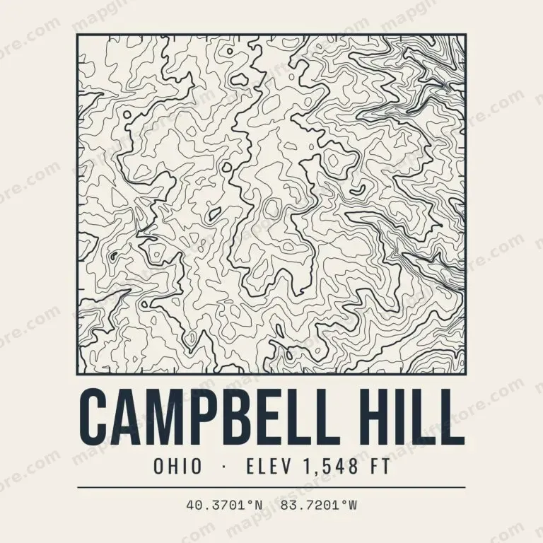 Campbell HillOhio · 1,548 ftGifts from $3.47
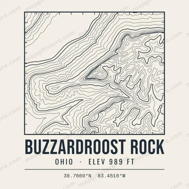 Buzzardroost RockOhio · 989 ftGifts from $3.47
 Fort HillOhio · 1,284 ftGifts from $3.47
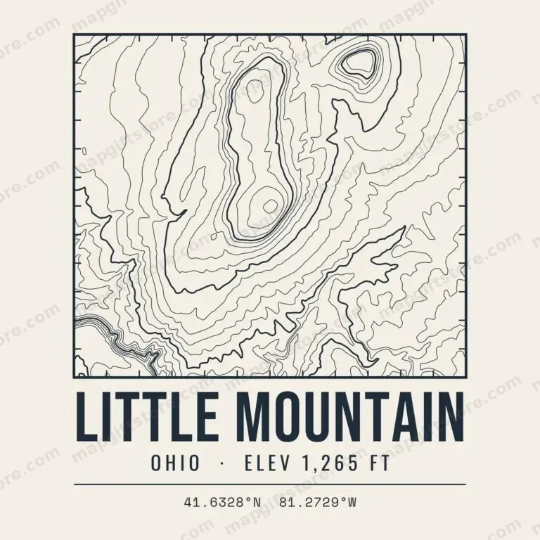 Little MountainOhio · 1,265 ftGifts from $3.47
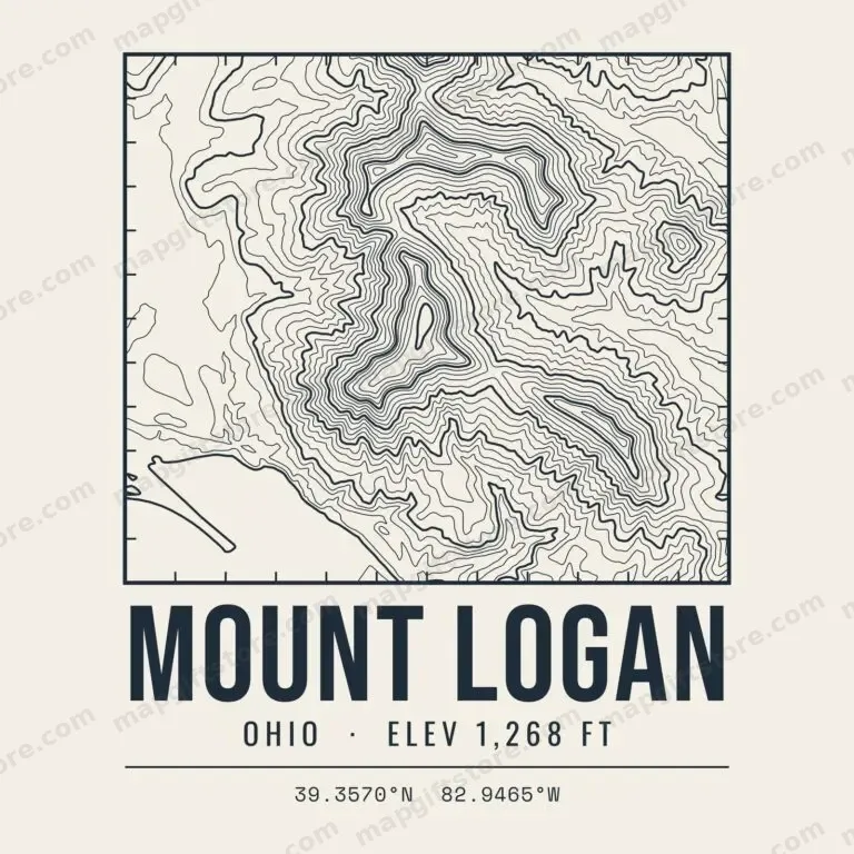 Mount LoganOhio · 1,268 ftGifts from $3.47
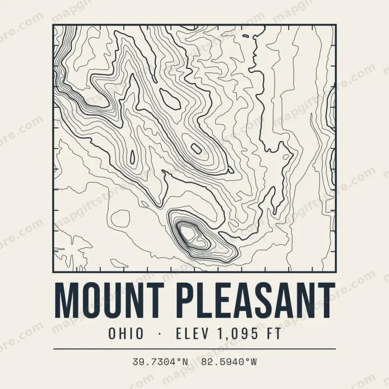 Mount PleasantOhio · 1,095 ftGifts from $3.47
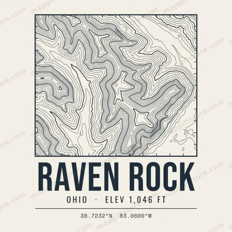 Raven RockOhio · 1,046 ftGifts from $3.47
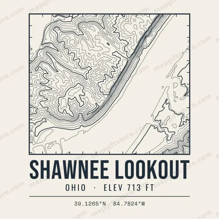 Shawnee LookoutOhio · 713 ftGifts from $3.47
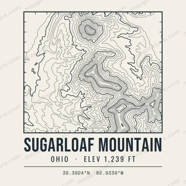 Sugarloaf MountainOhio · 1,239 ftGifts from $3.47
South Dakota
 Black Elk PeakSouth Dakota · 7,242 ftGifts from $3.47
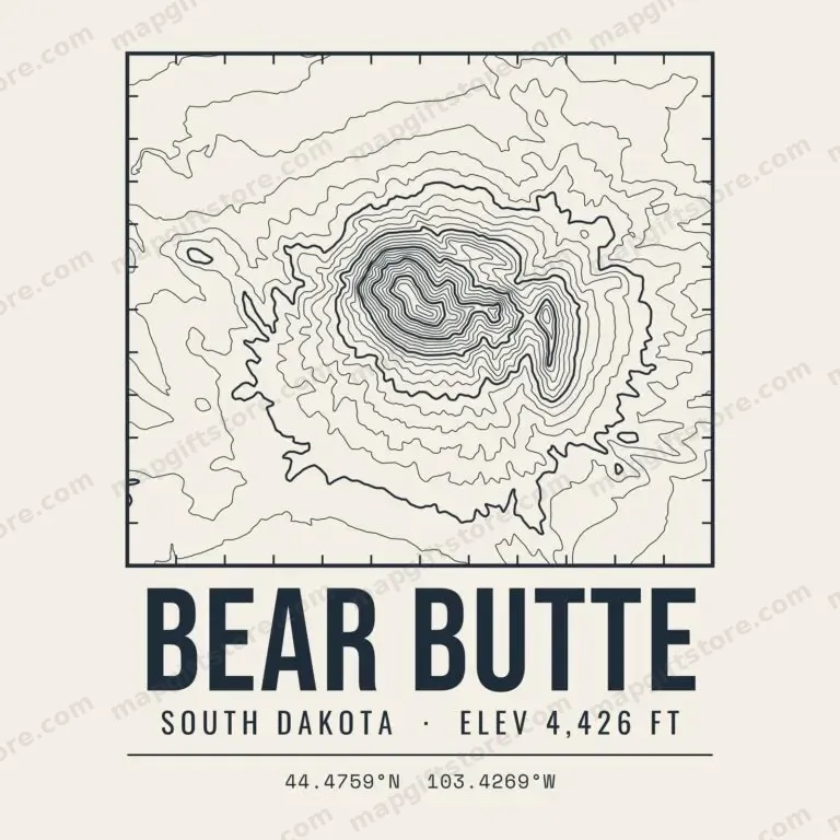 Bear ButteSouth Dakota · 4,426 ftGifts from $3.47
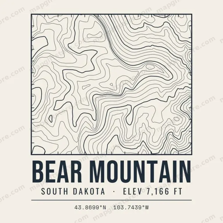 Bear MountainSouth Dakota · 7,166 ftGifts from $3.47
 Cathedral SpiresSouth Dakota · 6,821 ftGifts from $3.47
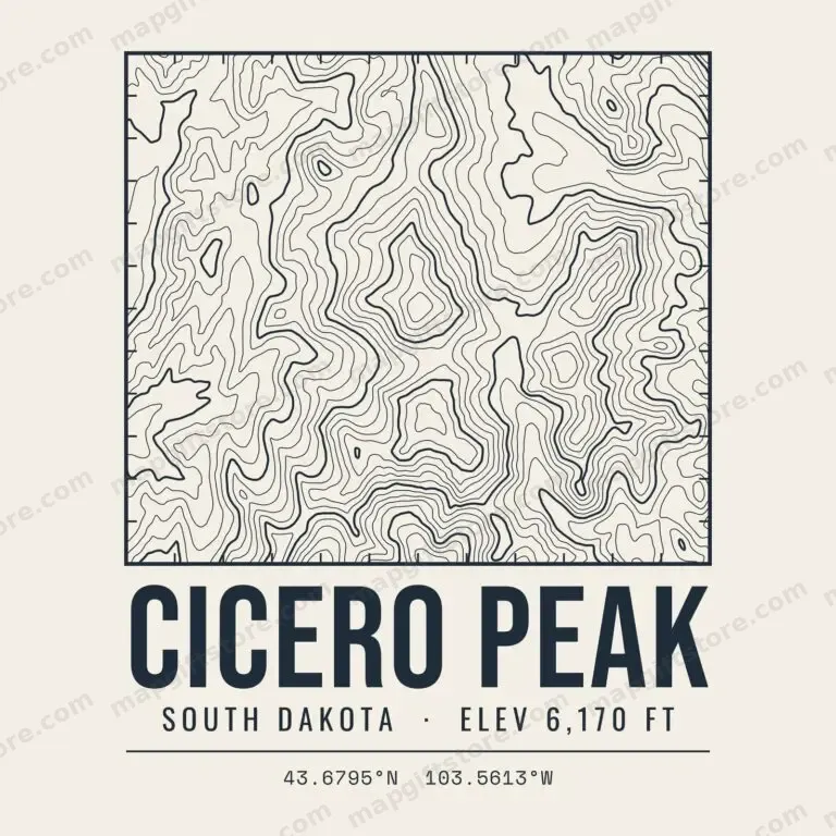 Cicero PeakSouth Dakota · 6,170 ftGifts from $3.47
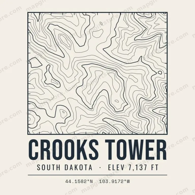 Crooks TowerSouth Dakota · 7,137 ftGifts from $3.47
 Crow PeakSouth Dakota · 5,787 ftGifts from $3.47
 Custer PeakSouth Dakota · 6,804 ftGifts from $3.47
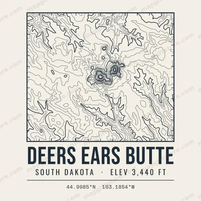 Deers Ears ButteSouth Dakota · 3,440 ftGifts from $3.47
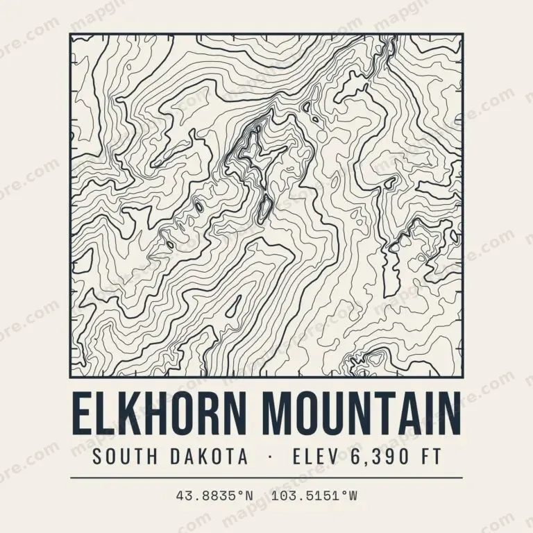 Elkhorn MountainSouth Dakota · 6,390 ftGifts from $3.47
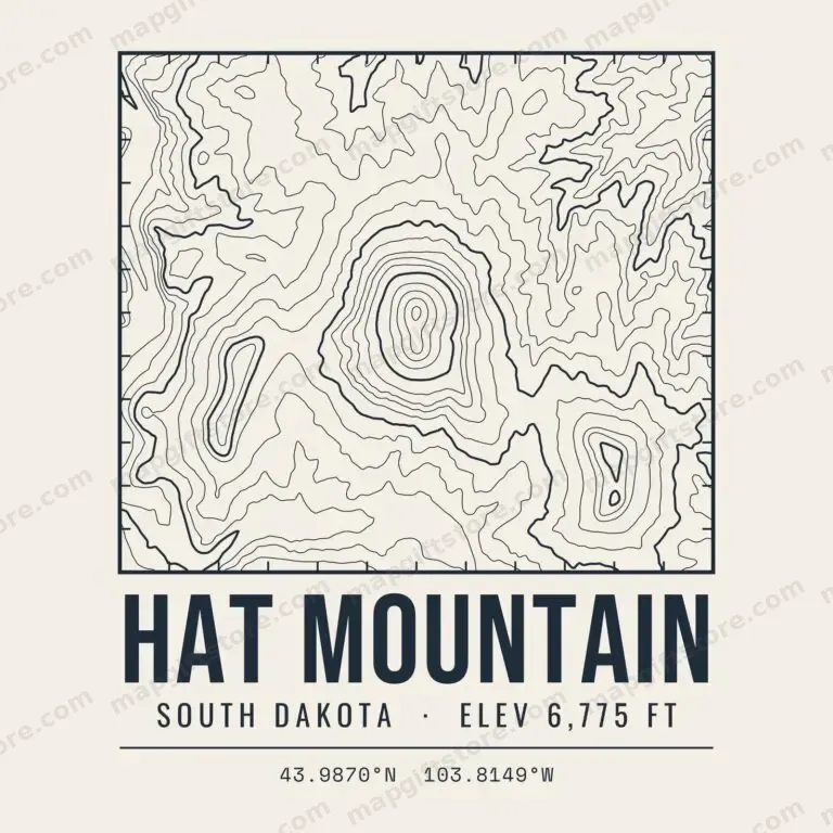 Hat MountainSouth Dakota · 6,775 ftGifts from $3.47
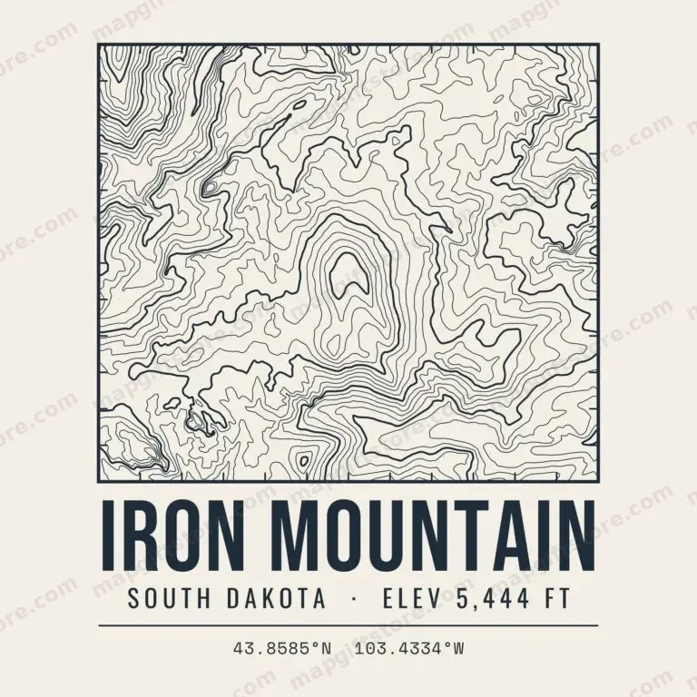 Iron MountainSouth Dakota · 5,444 ftGifts from $3.47
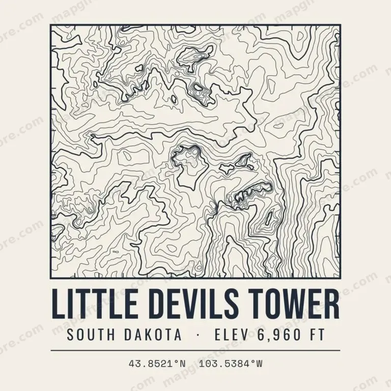 Little Devils TowerSouth Dakota · 6,960 ftGifts from $3.47
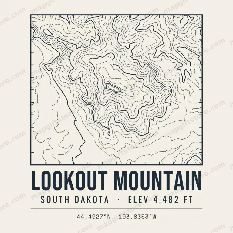 Lookout MountainSouth Dakota · 4,482 ftGifts from $3.47
 Mount CoolidgeSouth Dakota · 6,023 ftGifts from $3.47
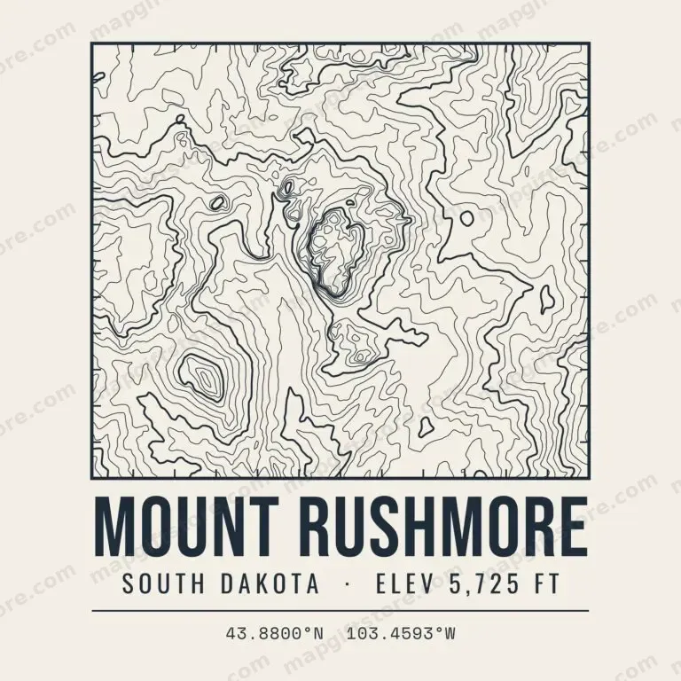 Mount RushmoreSouth Dakota · 5,725 ftGifts from $3.47
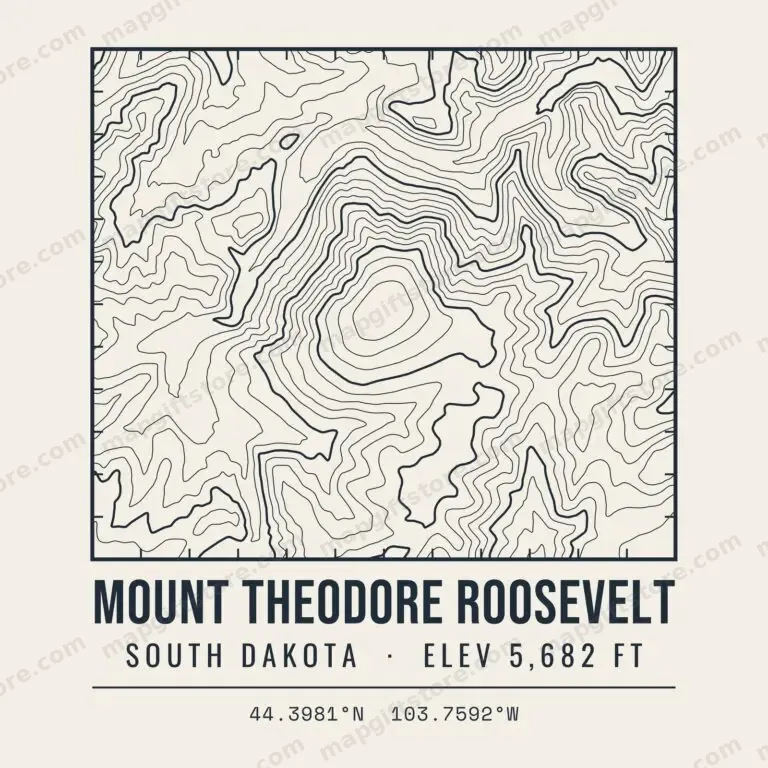 Mount Theodore RooseveltSouth Dakota · 5,682 ftGifts from $3.47
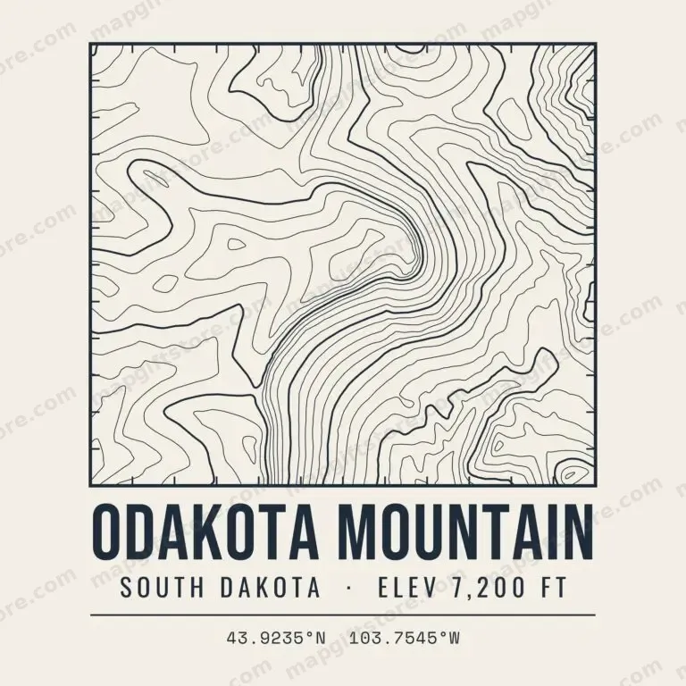 Odakota MountainSouth Dakota · 7,200 ftGifts from $3.47
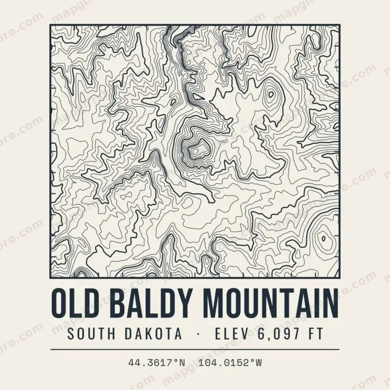 Old Baldy MountainSouth Dakota · 6,097 ftGifts from $3.47
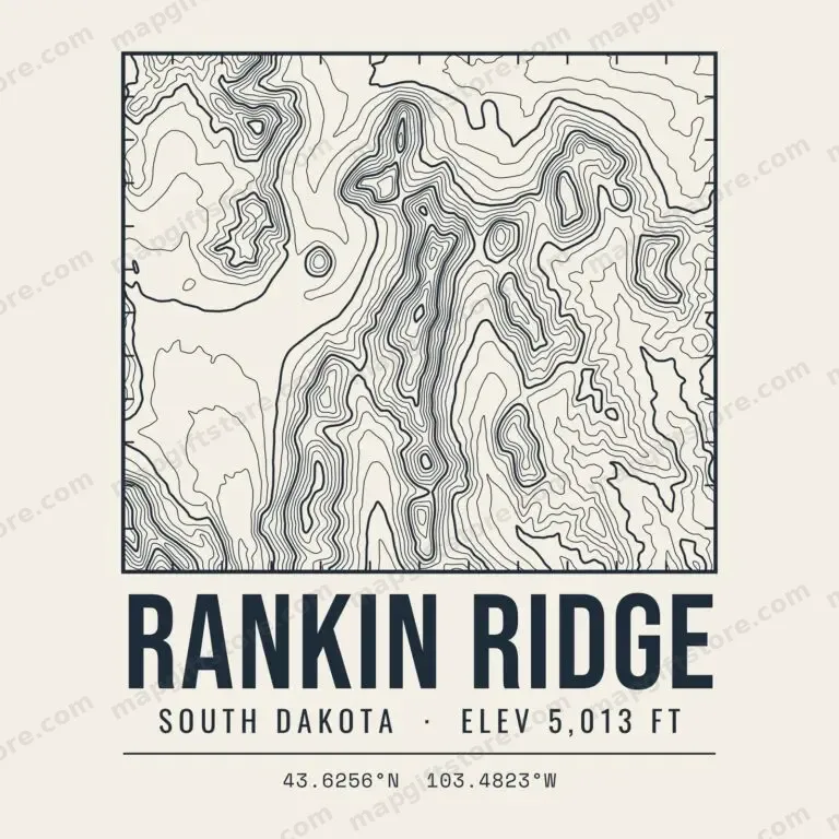 Rankin RidgeSouth Dakota · 5,013 ftGifts from $3.47
 Sheep Mountain TableSouth Dakota · 3,166 ftGifts from $3.47
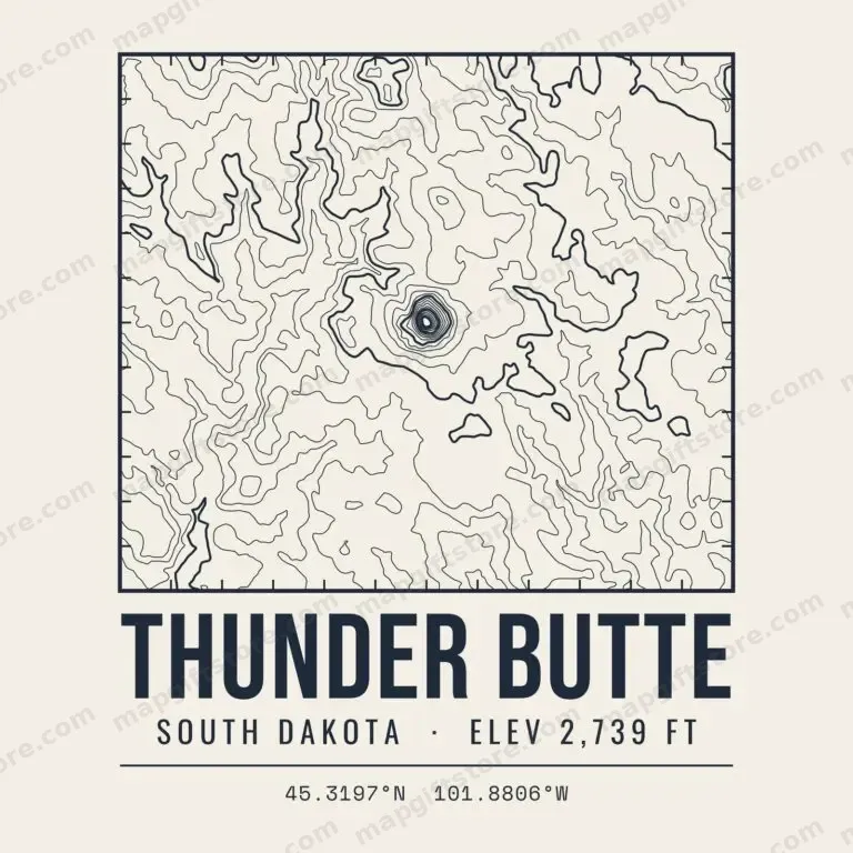 Thunder ButteSouth Dakota · 2,739 ftGifts from $3.47
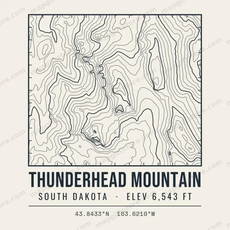 Thunderhead MountainSouth Dakota · 6,543 ftGifts from $3.47
Wisconsin
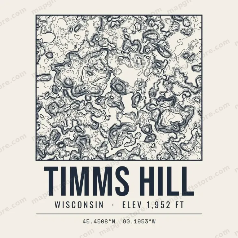 Timms HillWisconsin · 1,952 ftGifts from $3.47
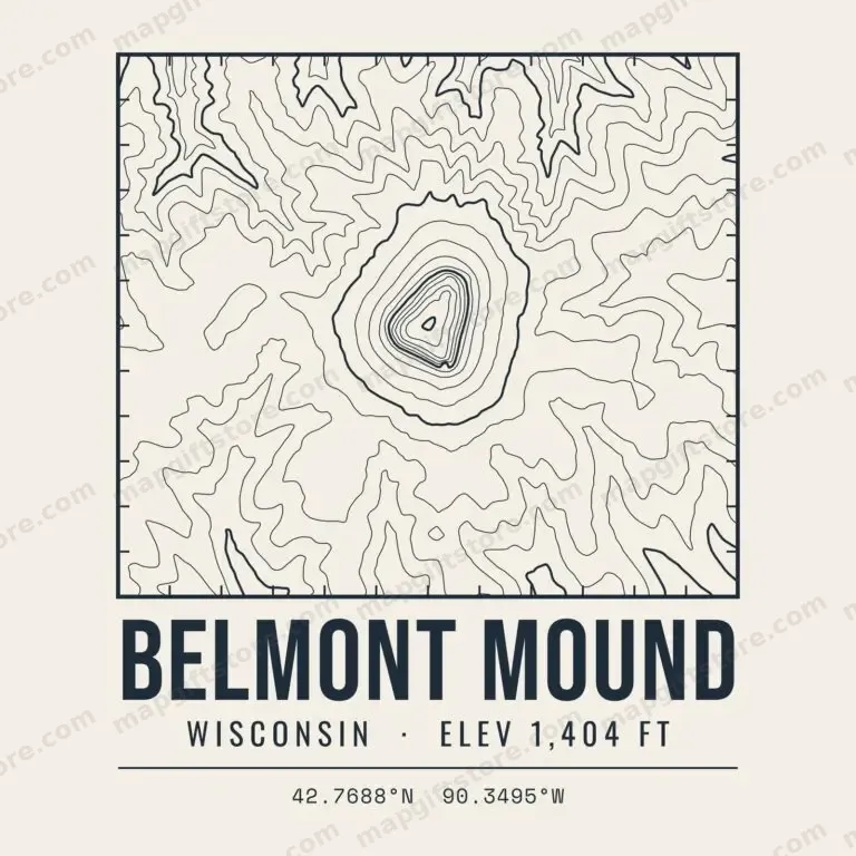 Belmont MoundWisconsin · 1,404 ftGifts from $3.47
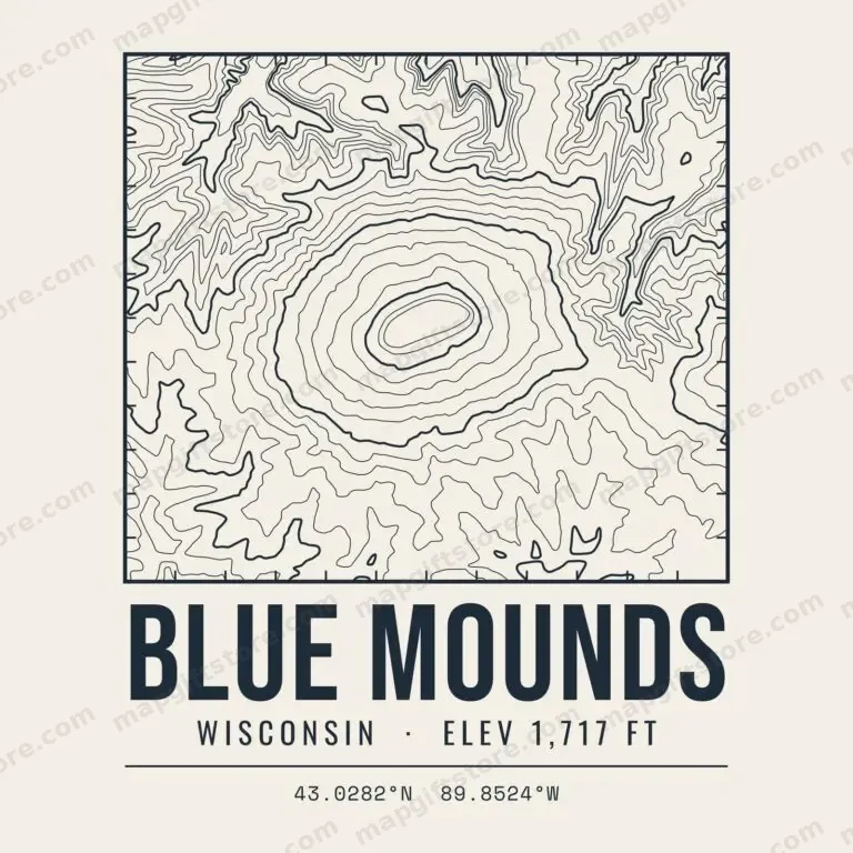 Blue MoundsWisconsin · 1,717 ftGifts from $3.47
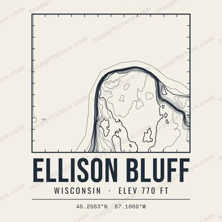 Ellison BluffWisconsin · 770 ftGifts from $3.47
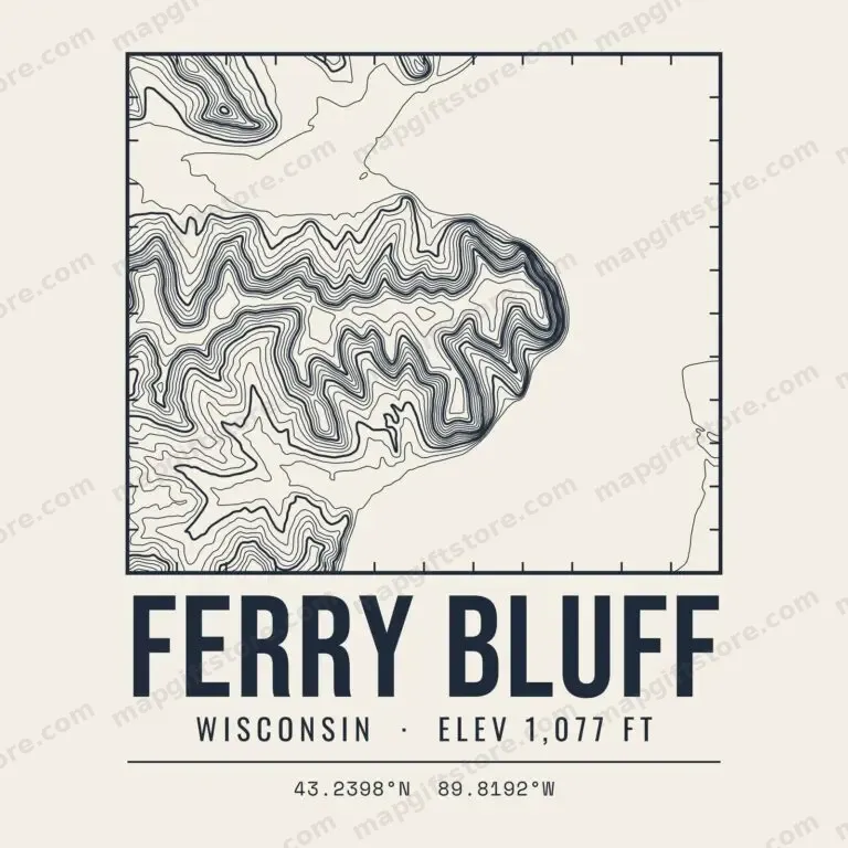 Ferry BluffWisconsin · 1,077 ftGifts from $3.47
 Gibraltar RockWisconsin · 1,249 ftGifts from $3.47
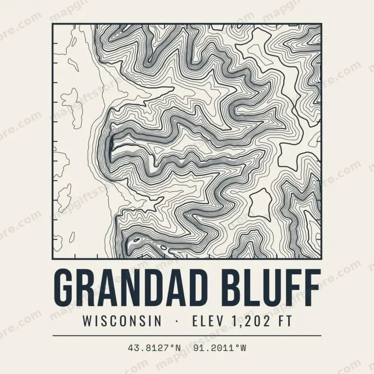 Grandad BluffWisconsin · 1,202 ftGifts from $3.47
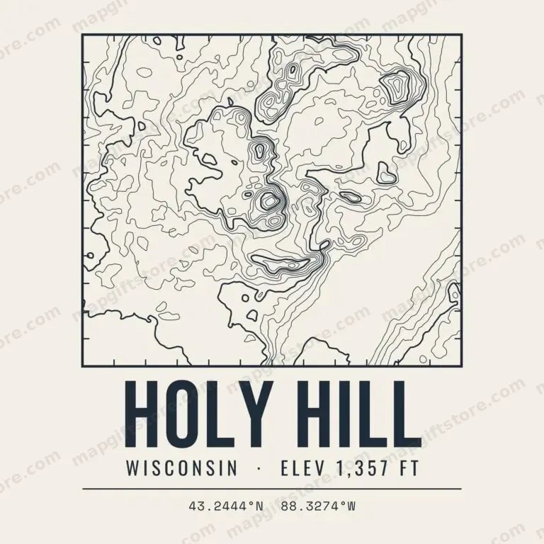 Holy HillWisconsin · 1,357 ftGifts from $3.47
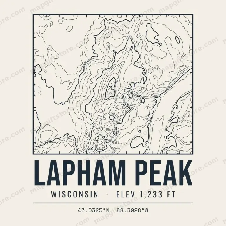 Lapham PeakWisconsin · 1,233 ftGifts from $3.47
 Lookout MountainWisconsin · 1,947 ftGifts from $3.47
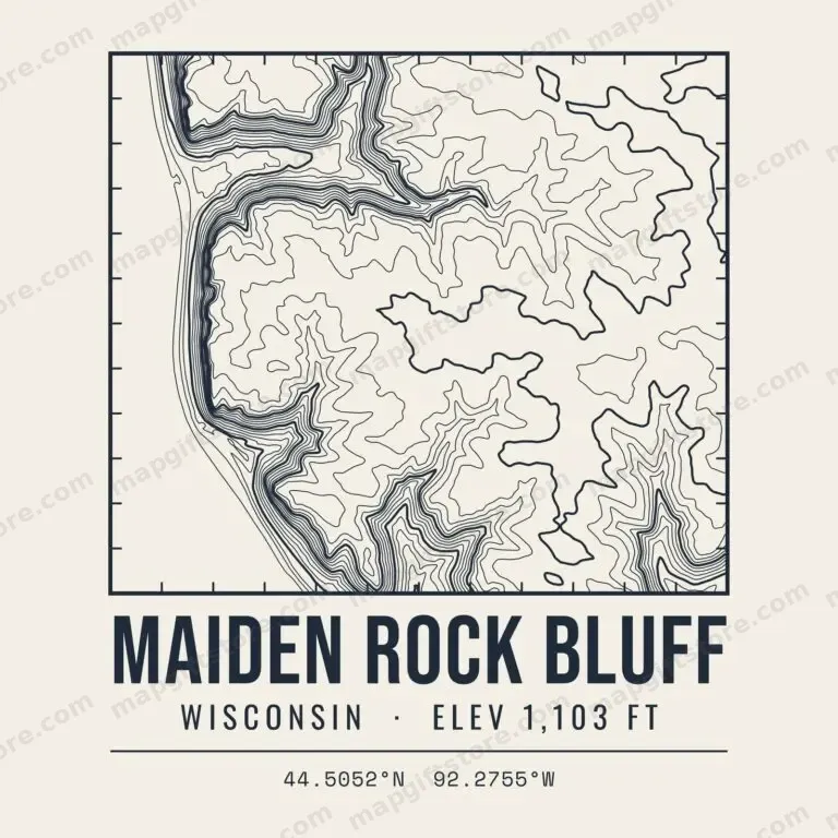 Maiden Rock BluffWisconsin · 1,103 ftGifts from $3.47
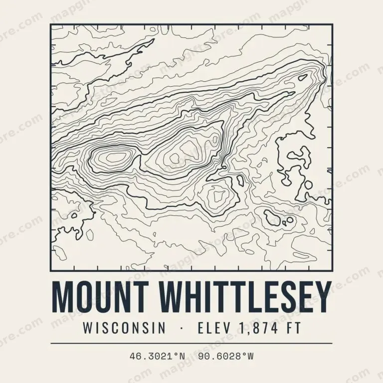 Mount WhittleseyWisconsin · 1,874 ftGifts from $3.47
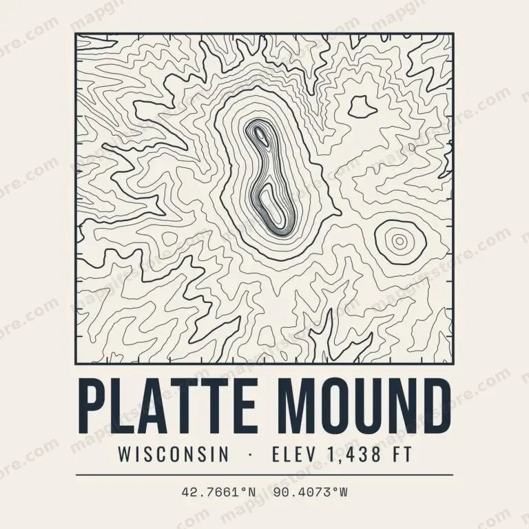 Platte MoundWisconsin · 1,438 ftGifts from $3.47
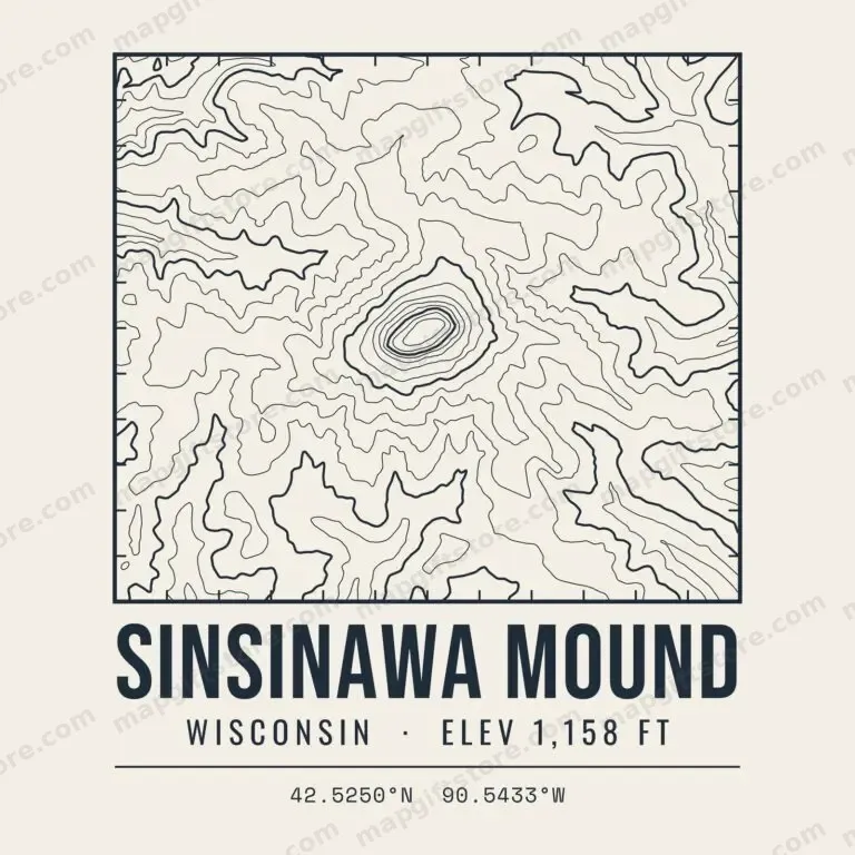 Sinsinawa MoundWisconsin · 1,158 ftGifts from $3.47
 St. Peter's DomeWisconsin · 1,569 ftGifts from $3.47
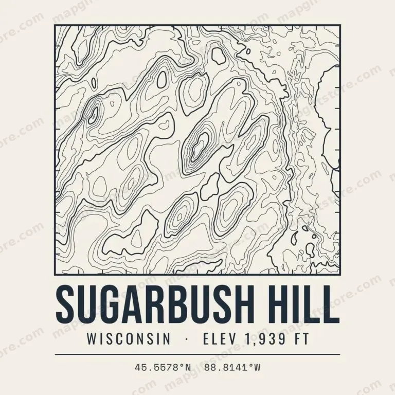 Sugarbush HillWisconsin · 1,939 ftGifts from $3.47
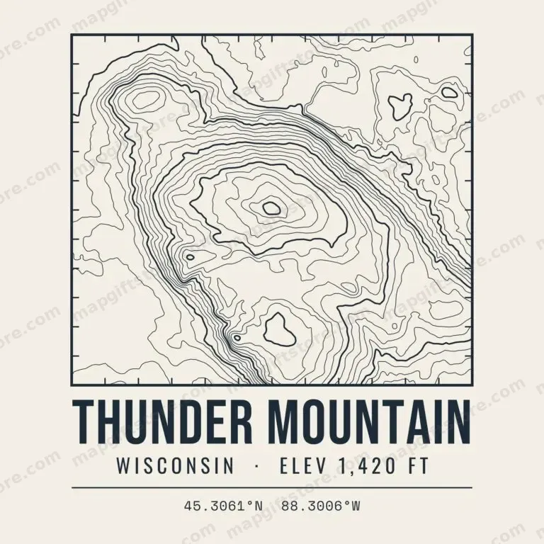 Thunder MountainWisconsin · 1,420 ftGifts from $3.47
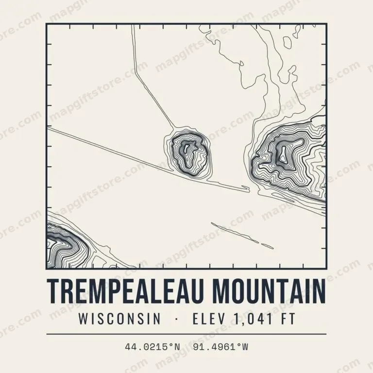 Trempealeau MountainWisconsin · 1,041 ftGifts from $3.47
Ashland County High Point ElevationWisconsin · 1,878 ftGifts from $3.47
Bald Hill ElevationWisconsin · 1,714 ftGifts from $3.47
Baldy Hill ElevationWisconsin · 1,832 ftGifts from $3.47
Barron County High Point ElevationWisconsin · 1,640 ftGifts from $3.47
Blue Hills ElevationWisconsin · 1,734 ftGifts from $3.47
Blue Mounds ElevationWisconsin · 1,717 ftGifts from $3.47
Burnett County High Point ElevationWisconsin · 1,475 ftGifts from $3.47
Butler Rock ElevationWisconsin · 1,098 ftGifts from $3.47
Chase Hill ElevationWisconsin · 1,756 ftGifts from $3.47
Chippewa County High Point ElevationWisconsin · 1,533 ftGifts from $3.47
Clark County High Point ElevationWisconsin · 1,486 ftGifts from $3.47
Columbia County High Point ElevationWisconsin · 1,474 ftGifts from $3.47
County Hill ElevationWisconsin · 1,393 ftGifts from $3.47
Dane County High Point ElevationWisconsin · 1,502 ftGifts from $3.47
Door County High Point ElevationWisconsin · 866 ftGifts from $3.47
Douglas County High Point ElevationWisconsin · 1,371 ftGifts from $3.47
Eagles Peak ElevationWisconsin · 1,684 ftGifts from $3.47
East Hill ElevationWisconsin · 1,850 ftGifts from $3.47
Florence County High Point ElevationWisconsin · 1,738 ftGifts from $3.47
Gogebic Range ElevationWisconsin · 1,878 ftGifts from $3.47
Hagar Mountain ElevationWisconsin · 1,178 ftGifts from $3.47
Hallberg Hill ElevationWisconsin · 1,568 ftGifts from $3.47
Harrison Hills ElevationWisconsin · 1,947 ftGifts from $3.47
Irma Hill ElevationWisconsin · 1,765 ftGifts from $3.47
Iron County High Point ElevationWisconsin · 1,877 ftGifts from $3.47
Jackson County High Point ElevationWisconsin · 1,405 ftGifts from $3.47
La Crosse County High Point ElevationWisconsin · 1,403 ftGifts from $3.47
Langlade County High Point ElevationWisconsin · 1,901 ftGifts from $3.47
Lookout Mountain ElevationWisconsin · 1,947 ftGifts from $3.47
Marinette County High Point ElevationWisconsin · 1,674 ftGifts from $3.47
McCaslin Mountain ElevationWisconsin · 1,647 ftGifts from $3.47
Menominee County High Point ElevationWisconsin · 1,436 ftGifts from $3.47
Meteor Hill ElevationWisconsin · 1,806 ftGifts from $3.47
Military Hill ElevationWisconsin · 1,850 ftGifts from $3.47
Monroe County High Point ElevationWisconsin · 1,467 ftGifts from $3.47
Mount Ashwabay ElevationWisconsin · 1,328 ftGifts from $3.47
Mount Atlanta ElevationWisconsin · 1,671 ftGifts from $3.47
Mount Valhalla ElevationWisconsin · 1,389 ftGifts from $3.47
Mount Whittlesey ElevationWisconsin · 1,875 ftGifts from $3.47
Ninemile Hill Elevation (Langlade County)Wisconsin · 1,567 ftGifts from $3.47
Ninemile Hill Elevation (Lincoln County)Wisconsin · 1,494 ftGifts from $3.47
Oconto County High Point ElevationWisconsin · 1,791 ftGifts from $3.47
Oneida County High Point ElevationWisconsin · 1,810 ftGifts from $3.47
Pearson Hill ElevationWisconsin · 1,951 ftGifts from $3.47
Pikes Peak ElevationWisconsin · 1,325 ftGifts from $3.47
Platte Mounds ElevationWisconsin · 1,438 ftGifts from $3.47
Polk County High Point ElevationWisconsin · 1,417 ftGifts from $3.47
Porcupine Mountain ElevationWisconsin · 1,649 ftGifts from $3.47
Rib Mountain ElevationWisconsin · 1,926 ftGifts from $3.47
Rusk County High Point ElevationWisconsin · 1,758 ftGifts from $3.47
Saint Peters Dome ElevationWisconsin · 1,569 ftGifts from $3.47
Shawano County High Point ElevationWisconsin · 1,494 ftGifts from $3.47
Smoky Hill ElevationWisconsin · 1,507 ftGifts from $3.47
Snow Hill ElevationWisconsin · 1,492 ftGifts from $3.47
Spokes Hill ElevationWisconsin · 1,783 ftGifts from $3.47
Sugar Camp Hill ElevationWisconsin · 1,258 ftGifts from $3.47
Sugarbush Hill ElevationWisconsin · 1,940 ftGifts from $3.47
Taylor County High Point ElevationWisconsin · 1,850 ftGifts from $3.47
Thunder Mountain ElevationWisconsin · 1,420 ftGifts from $3.47
Timms Hill ElevationWisconsin · 1,951 ftGifts from $3.47
Vilas County High Point ElevationWisconsin · 1,904 ftGifts from $3.47
Washburn County High Point ElevationWisconsin · 1,506 ftGifts from $3.47
West Hill ElevationWisconsin · 1,754 ftGifts from $3.47
Wood County High Point ElevationWisconsin · 1,481 ftGifts from $3.47
Questions
What is a topo map mountains & high points gift?
A T-shirt, hoodie, mug, print or sticker printed with a topographic contour map of the place, its name, state and elevation.
Can I get it on a dark shirt?
Yes. Every design comes in navy ink for light shirts and cream ink for dark shirts.
See the full collection of Midwest mountain topo maps on CafePress.