Ohio
Hocking Hills, Ohio ski areas, Campbell Hill and the state parks of the Appalachian plateau, drawn as topographic contour maps.
26 places
Ski Areas
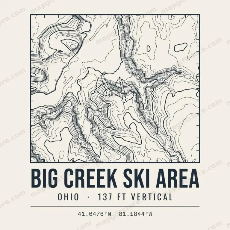 Big Creek Ski AreaOhio · 137 ft verticalGifts from $3.47
 Snow TrailsOhio · 300 ft verticalGifts from $3.47
Mountains & High Points
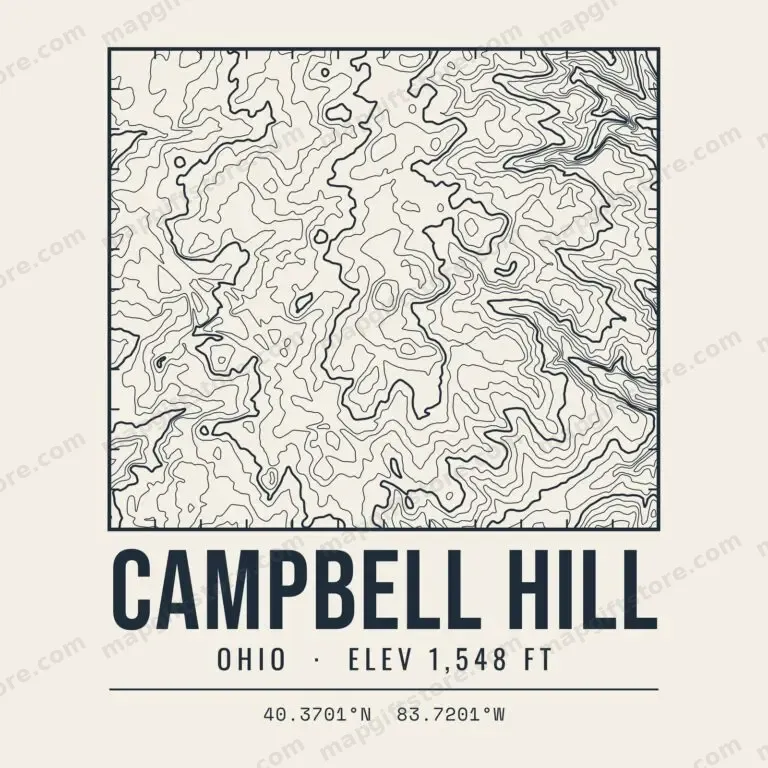 Campbell HillOhio · 1,548 ftGifts from $3.47
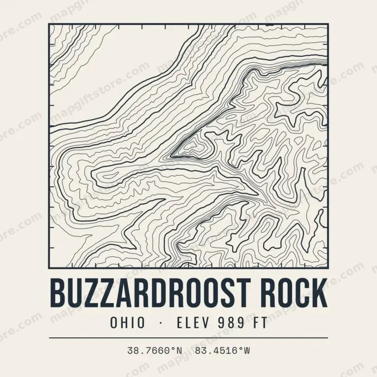 Buzzardroost RockOhio · 989 ftGifts from $3.47
 Fort HillOhio · 1,284 ftGifts from $3.47
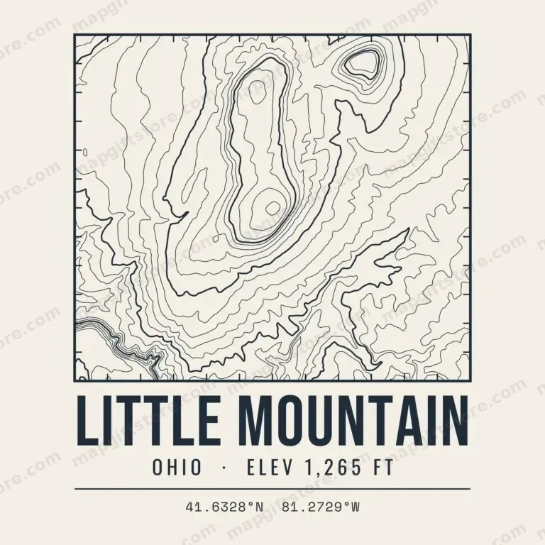 Little MountainOhio · 1,265 ftGifts from $3.47
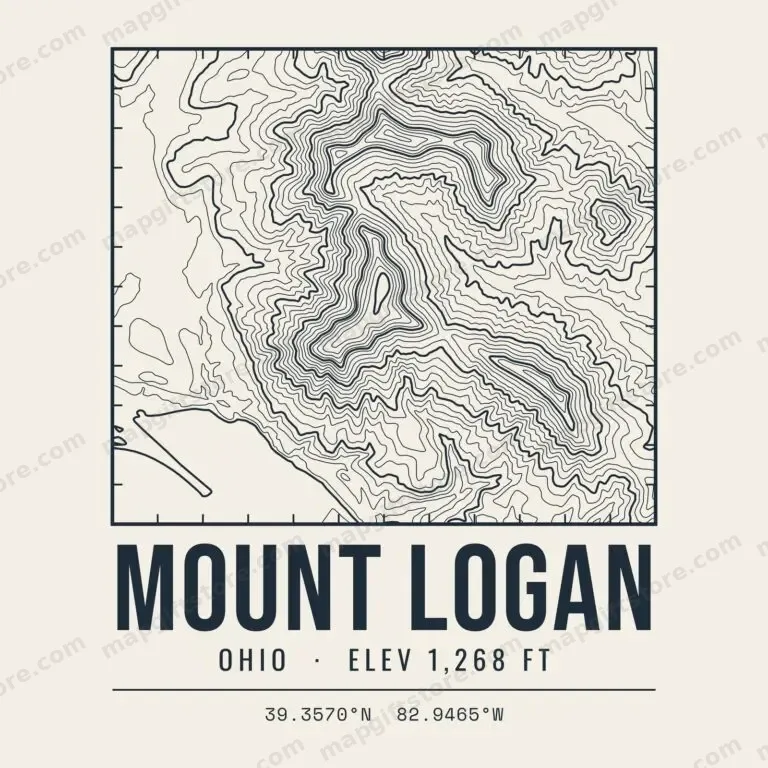 Mount LoganOhio · 1,268 ftGifts from $3.47
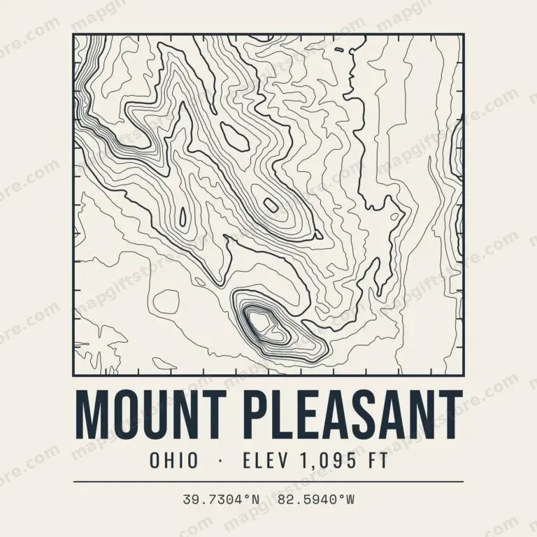 Mount PleasantOhio · 1,095 ftGifts from $3.47
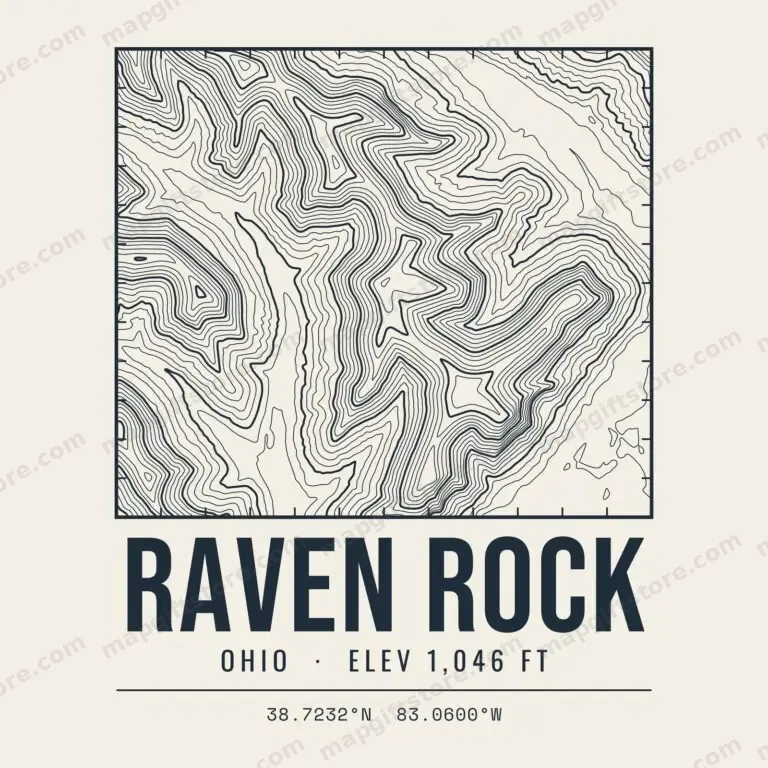 Raven RockOhio · 1,046 ftGifts from $3.47
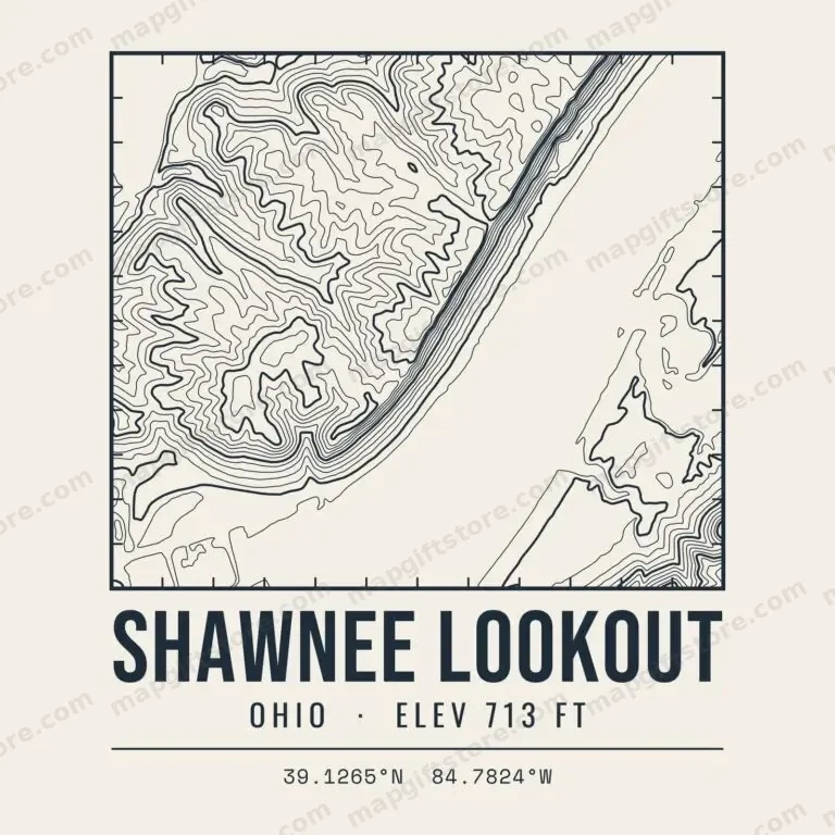 Shawnee LookoutOhio · 713 ftGifts from $3.47
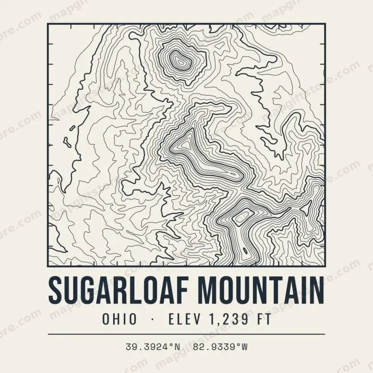 Sugarloaf MountainOhio · 1,239 ftGifts from $3.47
State & National Parks
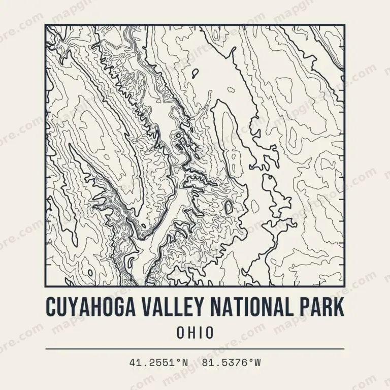 Cuyahoga Valley National ParkOhioGifts from $3.47
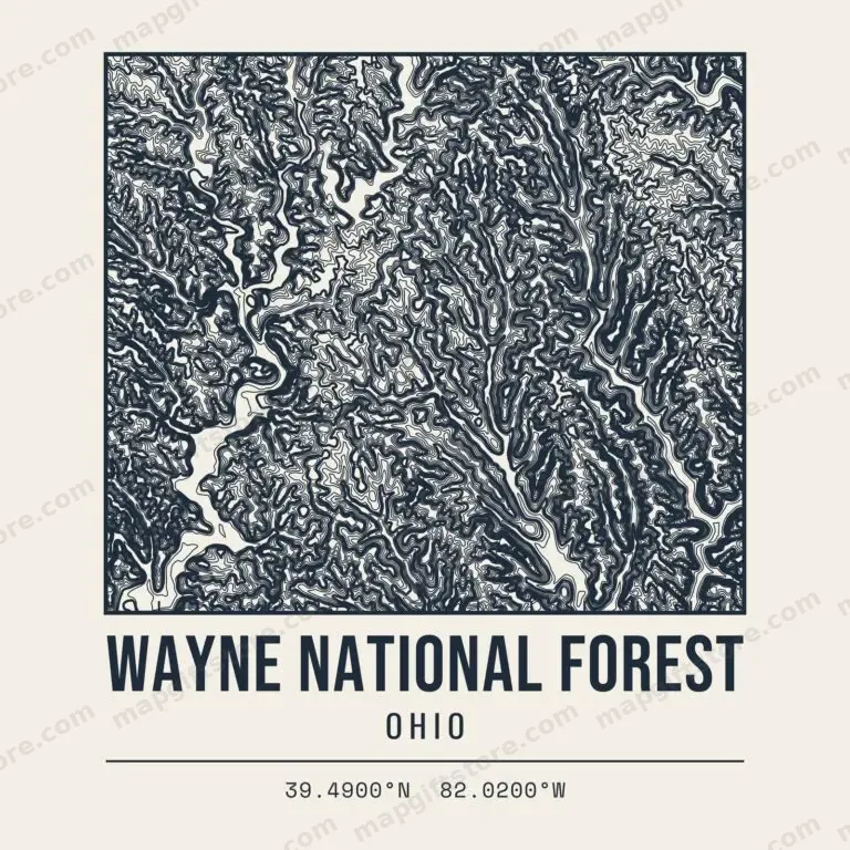 Wayne National ForestOhioGifts from $3.47
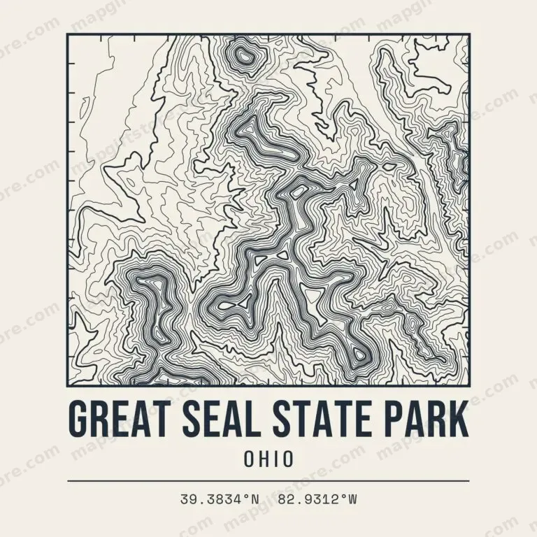 Great Seal State ParkOhioGifts from $3.47
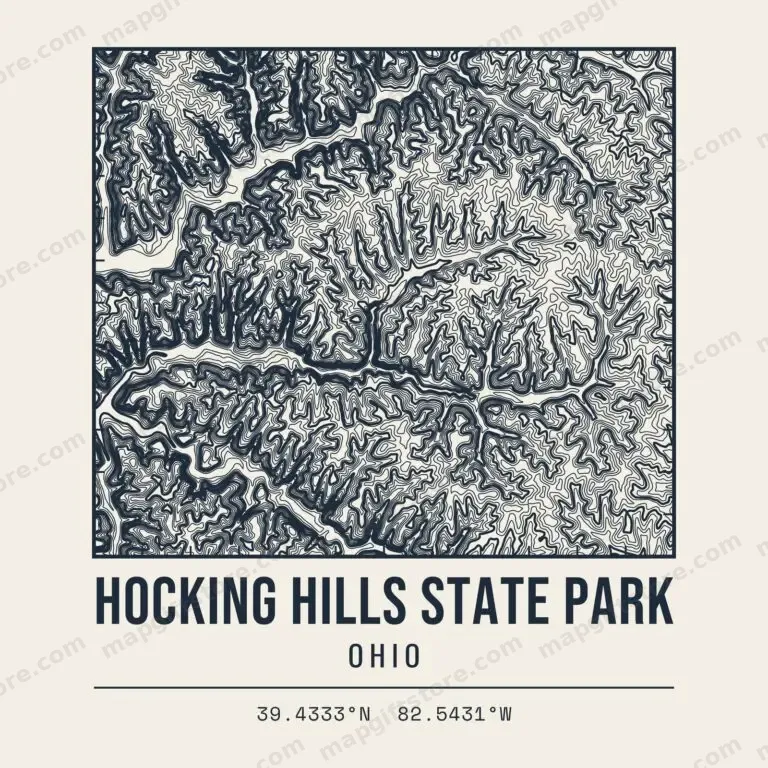 Hocking Hills State ParkOhioGifts from $3.47
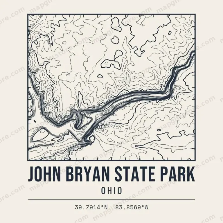 John Bryan State ParkOhioGifts from $3.47
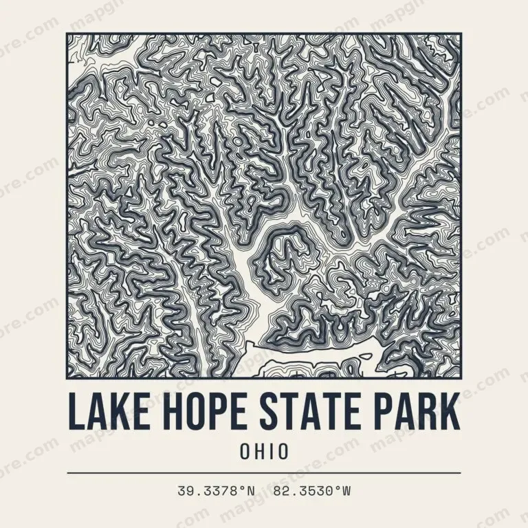 Lake Hope State ParkOhioGifts from $3.47
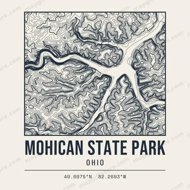 Mohican State ParkOhioGifts from $3.47
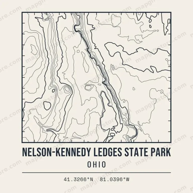 Nelson-Kennedy Ledges State ParkOhioGifts from $3.47
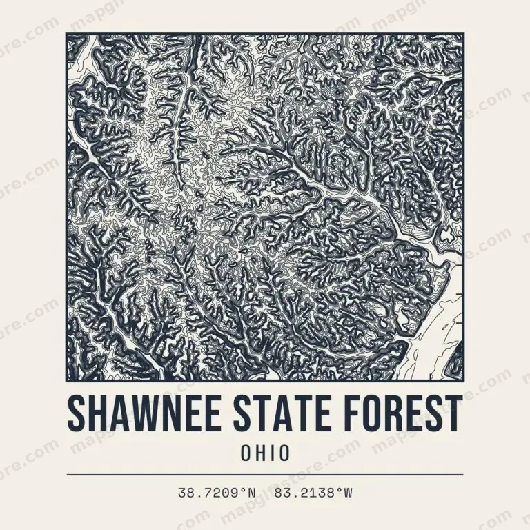 Shawnee State ForestOhioGifts from $3.47
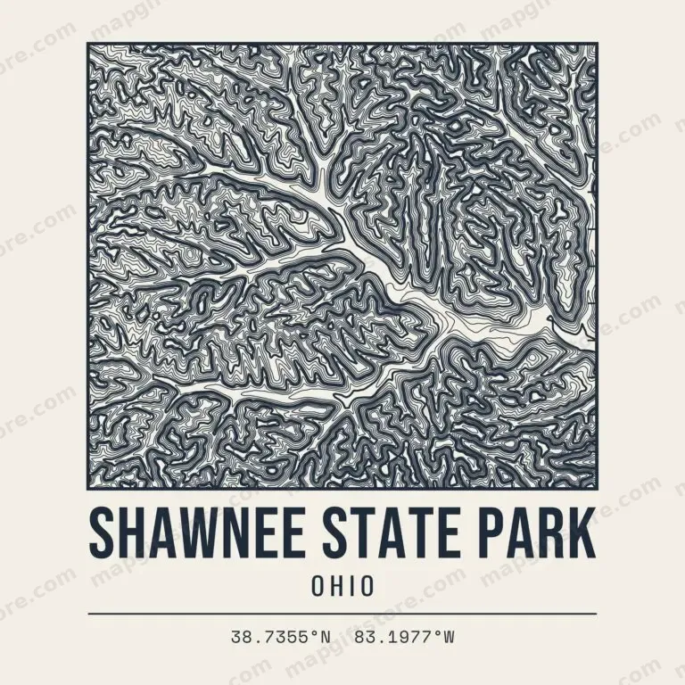 Shawnee State ParkOhioGifts from $3.47
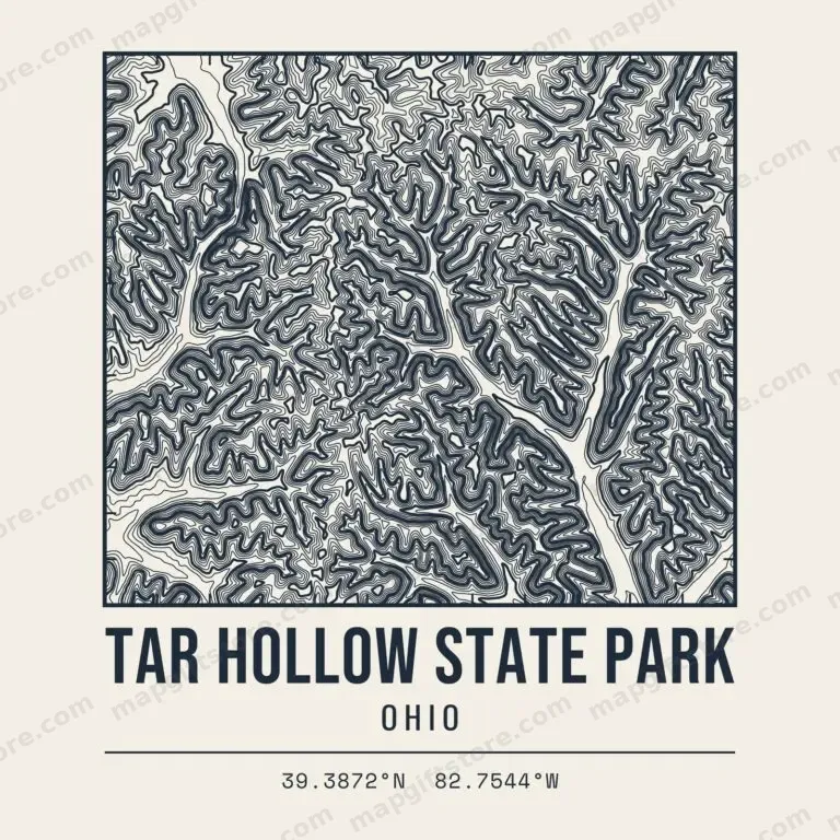 Tar Hollow State ParkOhioGifts from $3.47
Hiking Areas & Trails
 Clifton Gorge State Nature PreserveOhioGifts from $3.47
 Conkle's Hollow State Nature PreserveOhioGifts from $3.47
 Edge of Appalachia PreserveOhioGifts from $3.47
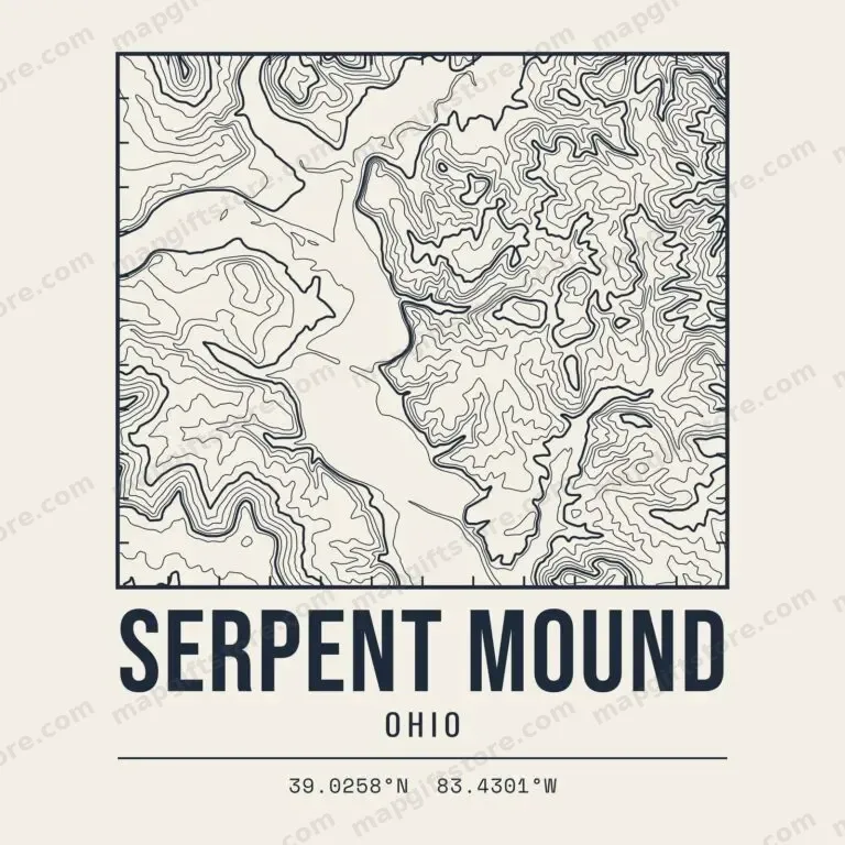 Serpent MoundOhioGifts from $3.47
Also sold on Topo Map Designs on Printify.
Questions
What places in Ohio have topo map gifts?
Ski hills, named peaks and high points, state and national parks and hiking areas across Ohio. Each one has its own contour map design on shirts, mugs, prints and more.
Where does the elevation data come from?
Every map is drawn from the U.S. Geological Survey 3D Elevation Program (3DEP), a public-domain national elevation dataset.
Who prints and ships the gifts?
Gifts are printed to order and shipped by CafePress. Final price, sales and shipping are shown at checkout.
Shop our CafePress collections: Ohio topo maps and Ohio town and lake elevation gifts.