Nebraska
Pine Ridge buttes, the Wildcat Hills, Panorama Point and Nebraska parks, drawn as topographic contour maps.
24 places
Mountains & High Points
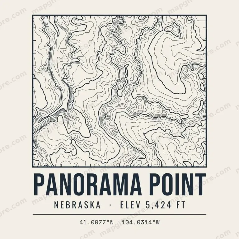 Panorama PointNebraska · 5,424 ftGifts from $3.47
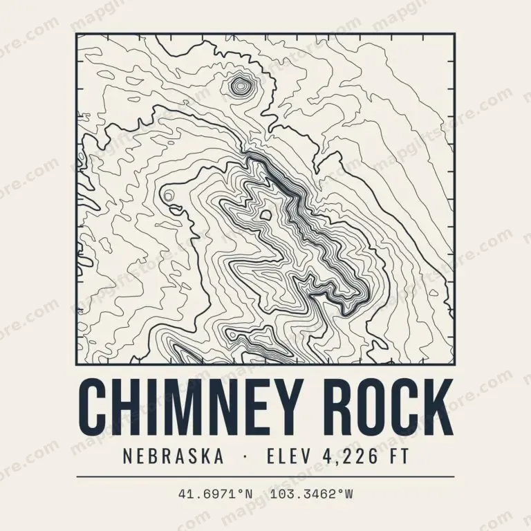 Chimney RockNebraska · 4,226 ftGifts from $3.47
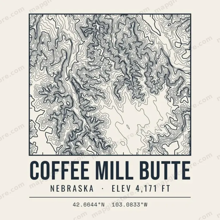 Coffee Mill ButteNebraska · 4,171 ftGifts from $3.47
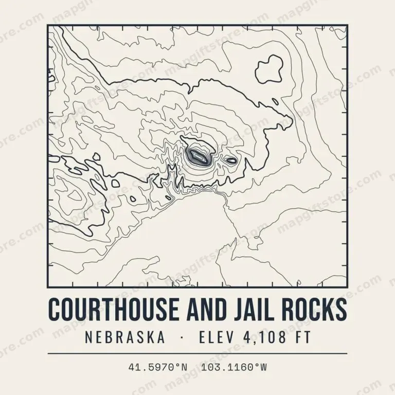 Courthouse and Jail RocksNebraska · 4,108 ftGifts from $3.47
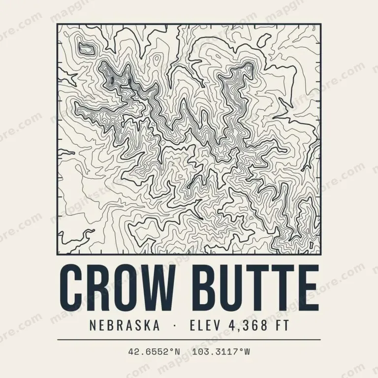 Crow ButteNebraska · 4,368 ftGifts from $3.47
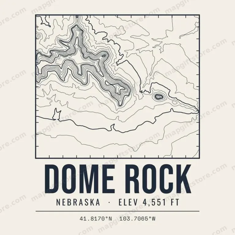 Dome RockNebraska · 4,551 ftGifts from $3.47
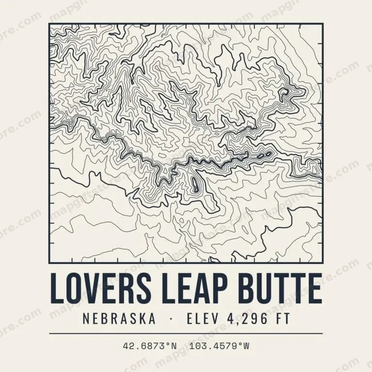 Lovers Leap ButteNebraska · 4,296 ftGifts from $3.47
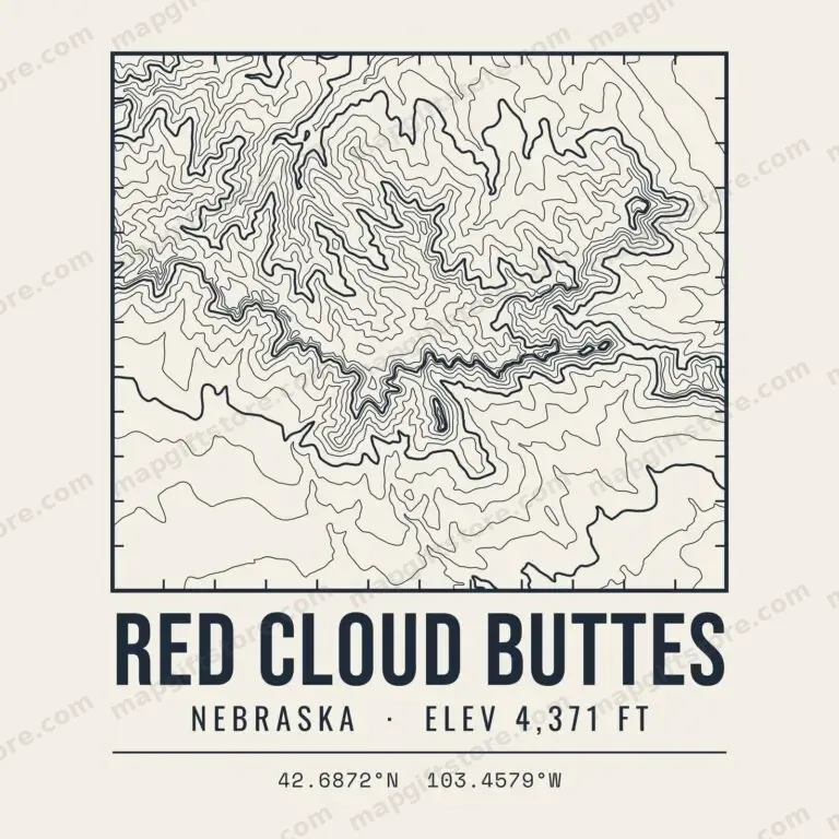 Red Cloud ButtesNebraska · 4,371 ftGifts from $3.47
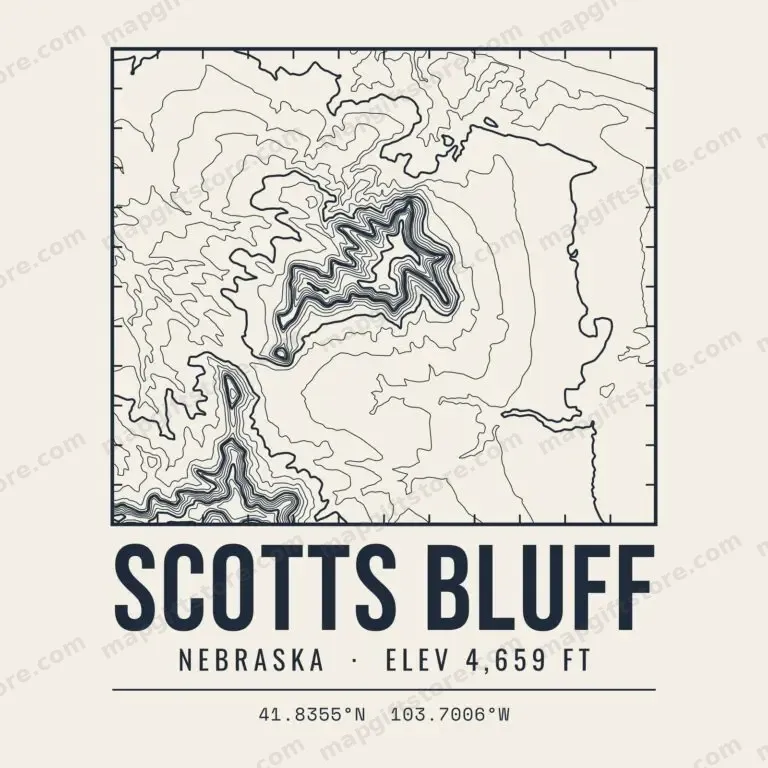 Scotts BluffNebraska · 4,659 ftGifts from $3.47
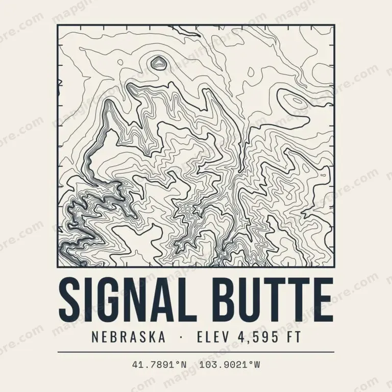 Signal ButteNebraska · 4,595 ftGifts from $3.47
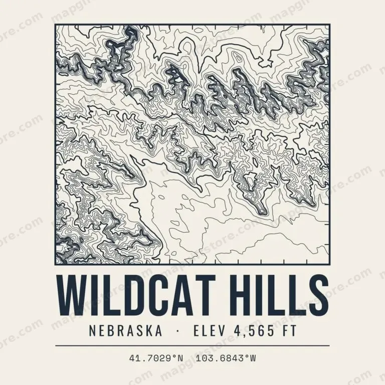 Wildcat HillsNebraska · 4,565 ftGifts from $3.47
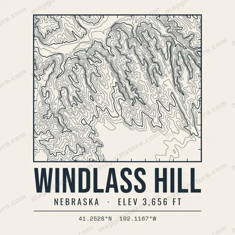 Windlass HillNebraska · 3,656 ftGifts from $3.47
State & National Parks
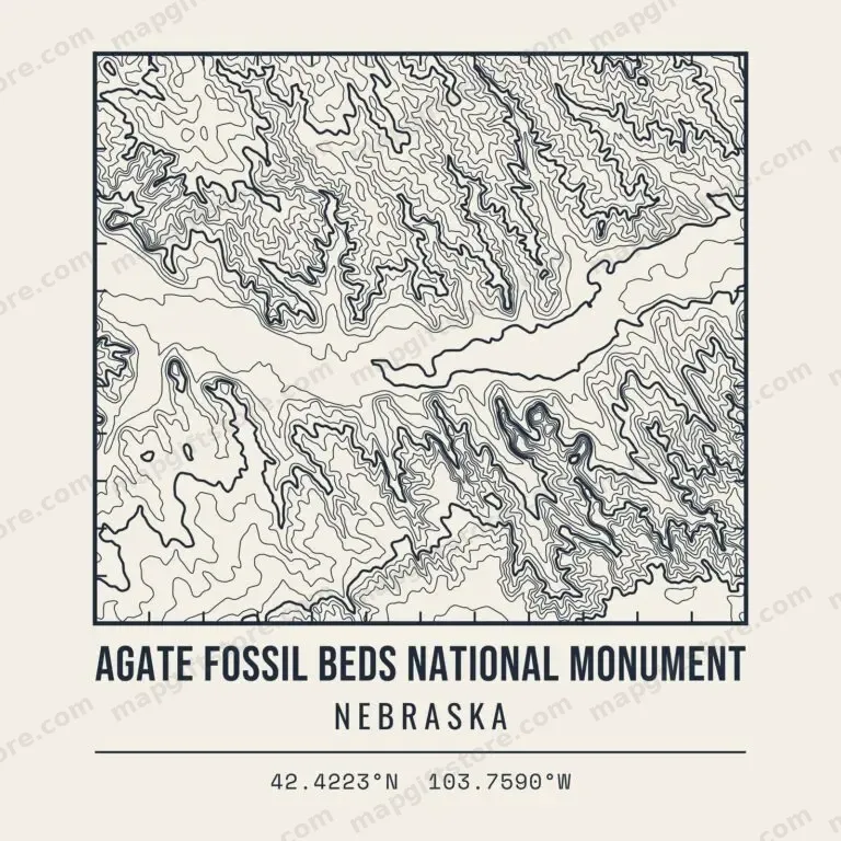 Agate Fossil Beds National MonumentNebraskaGifts from $3.47
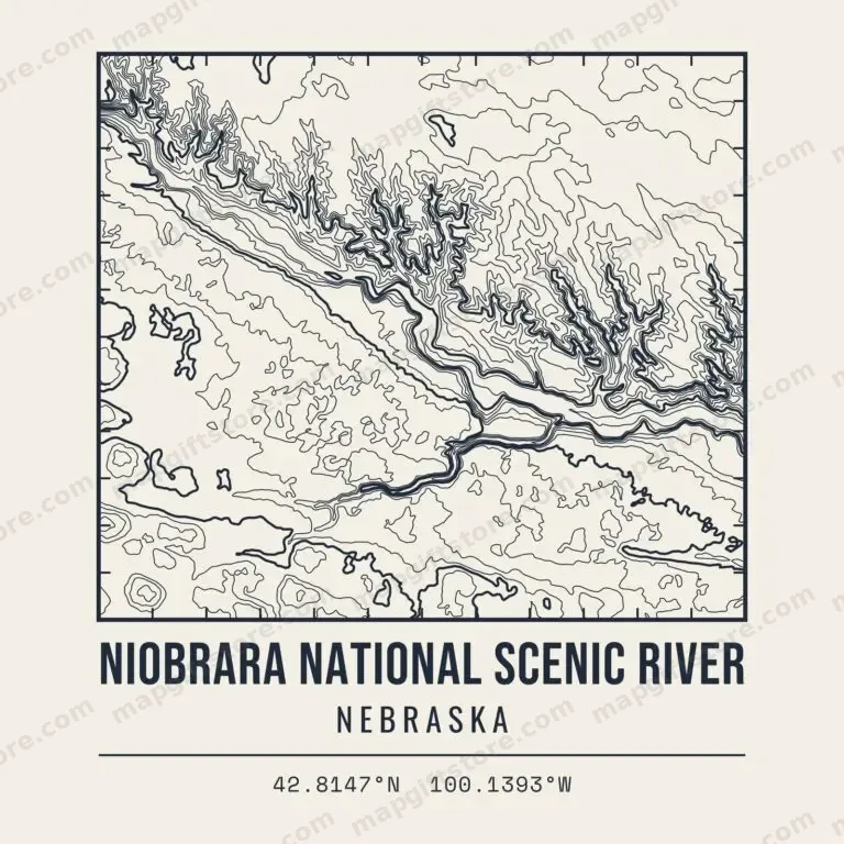 Niobrara National Scenic RiverNebraskaGifts from $3.47
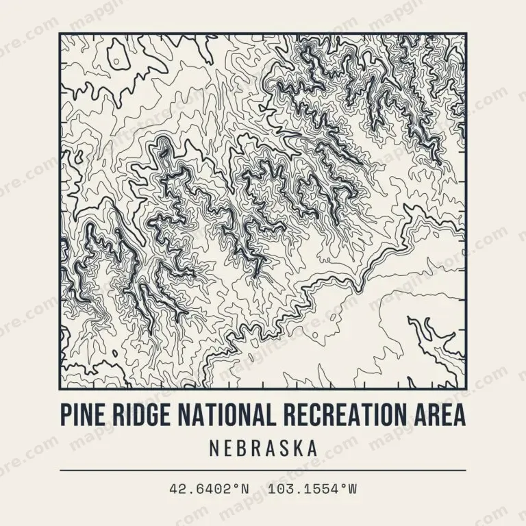 Pine Ridge National Recreation AreaNebraskaGifts from $3.47
 Toadstool Geologic ParkNebraskaGifts from $3.47
 Ash Hollow State Historical ParkNebraskaGifts from $3.47
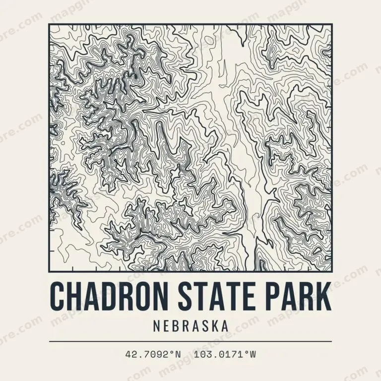 Chadron State ParkNebraskaGifts from $3.47
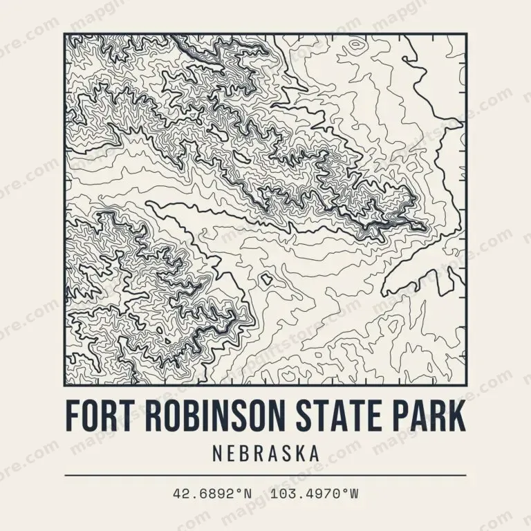 Fort Robinson State ParkNebraskaGifts from $3.47
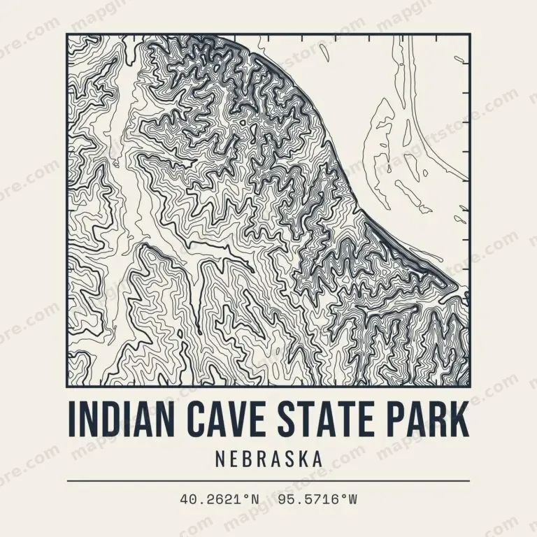 Indian Cave State ParkNebraskaGifts from $3.47
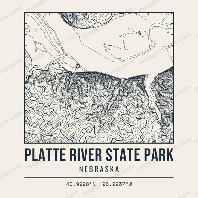 Platte River State ParkNebraskaGifts from $3.47
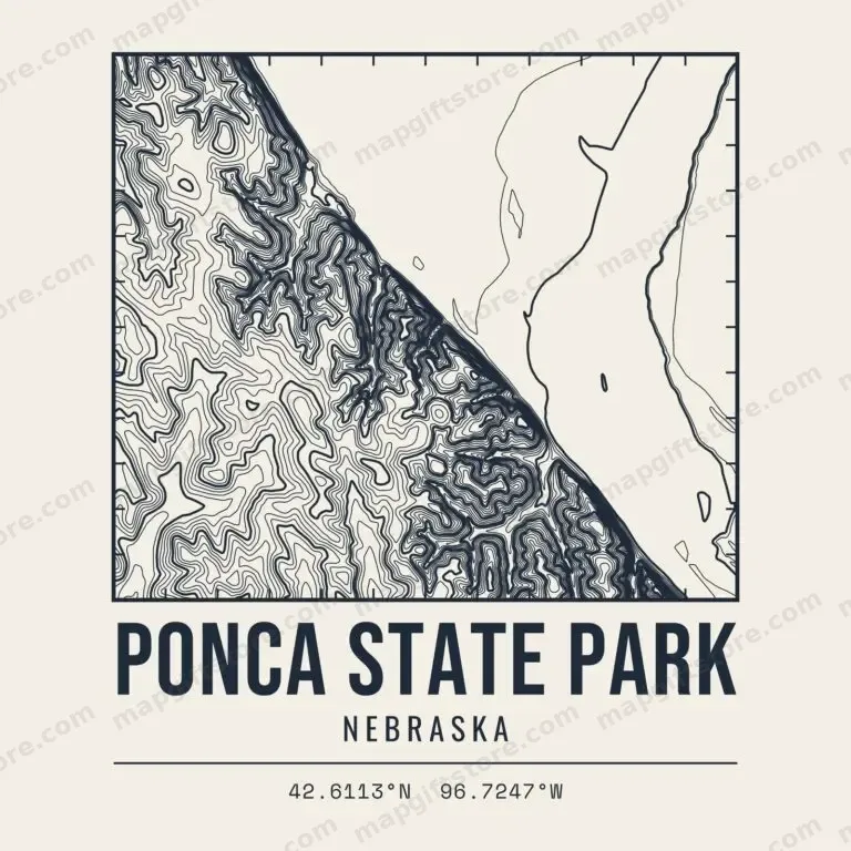 Ponca State ParkNebraskaGifts from $3.47
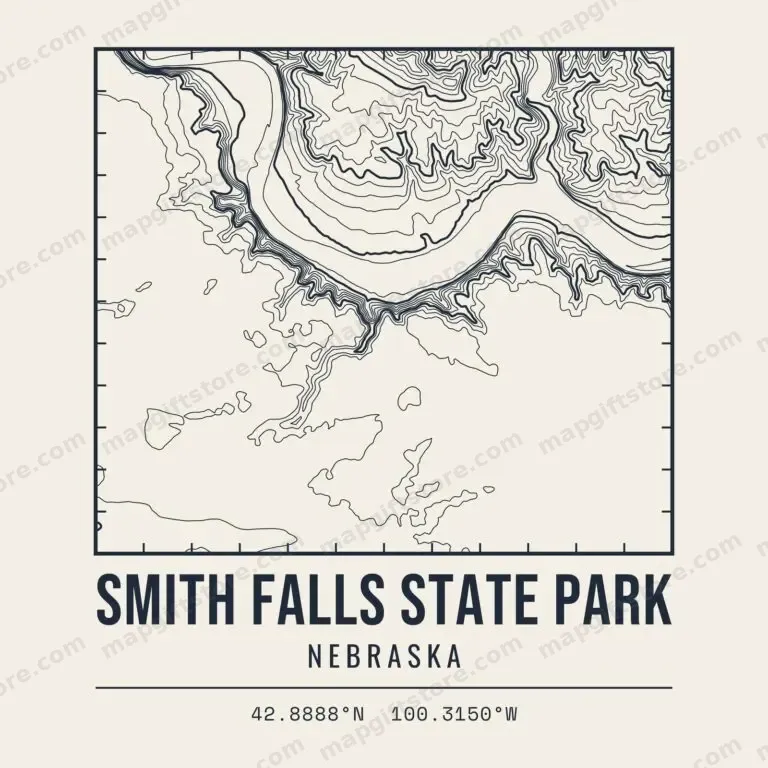 Smith Falls State ParkNebraskaGifts from $3.47
Hiking Areas & Trails
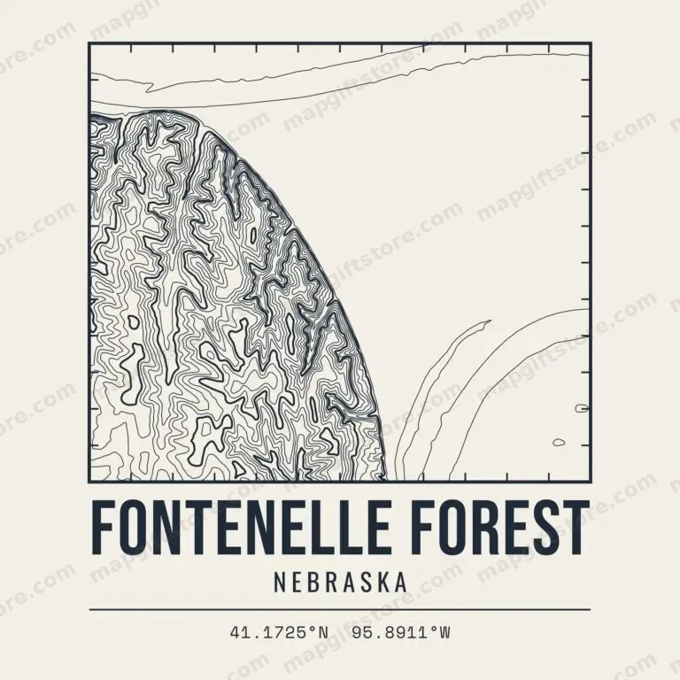
Also sold on Topo Map Designs on Printify.
Questions
What places in Nebraska have topo map gifts?
Ski hills, named peaks and high points, state and national parks and hiking areas across Nebraska. Each one has its own contour map design on shirts, mugs, prints and more.
Where does the elevation data come from?
Every map is drawn from the U.S. Geological Survey 3D Elevation Program (3DEP), a public-domain national elevation dataset.
Who prints and ships the gifts?
Gifts are printed to order and shipped by CafePress. Final price, sales and shipping are shown at checkout.
Shop our CafePress collections: Nebraska topo maps and Nebraska town and lake elevation gifts.