About the Mount Tom topo map
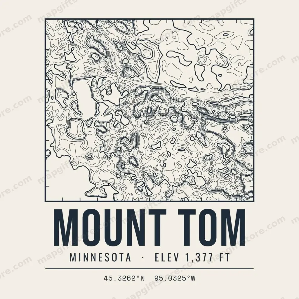
Mount Tom rises in Kandiyohi County, Minnesota to 1,377 feet. Its topo map is drawn from USGS 3DEP elevation data with the summit centered on the highest ground.
This design uses contour lines every 10 feet, a map about 1.9 miles across, 181 feet of relief inside the frame. Every fifth line is drawn heavier, as on a USGS quad, so the shape reads from across the room.
A good fit for hikers, peak baggers and anyone who grew up looking at this hill. Choose from four styles, Topo Block, Summit Badge, Retro Peak and Minimal Fade, in navy for light shirts or cream for dark ones. Printed to order on T-shirts, hoodies, mugs, canvas prints, stickers, ornaments and more.
Questions about Mount Tom
Where is Mount Tom?
Mount Tom is in Kandiyohi County, Minnesota. The topo map is centered on it and covers the ground around it, about 1.9 miles across.
How high is Mount Tom?
Mount Tom reaches about 1,377 feet above sea level in the USGS 3DEP elevation data the map is drawn from.
Where does the Mount Tom topo map data come from?
The contour lines are drawn from U.S. Geological Survey 3DEP elevation data. This design has a line every 10 feet of elevation and 181 feet of relief inside the frame, with every fifth line drawn heavier, as on a USGS quad.
What Mount Tom gifts can I buy?
The Mount Tom topo map comes in 4 styles and is available on T-shirts, hoodies, mugs, canvas prints, posters, water bottles, stickers, ornaments and tote bags. Every item is printed to order and shipped by CafePress; the buttons on this page go straight to each product.
Can I use this topo map for hiking or navigation?
No. It is decorative art simplified from elevation data and leaves out trails, roads and hazards a real map needs. Carry a proper map or GPS outdoors.